"Pearl" in Winter Garden, Florida
|
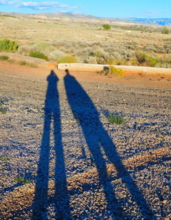
Long shadows in Wyoming
|
|
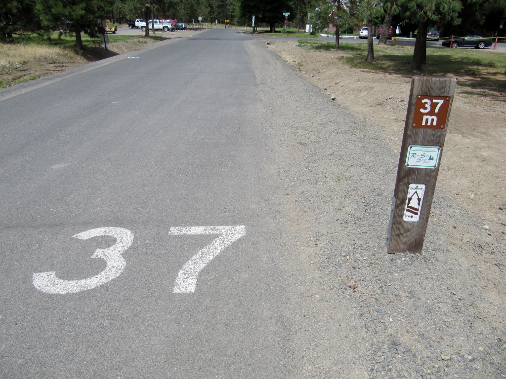
In Part 1, we'd reached Spokane, Washington while pedaling westward from Coeur d'Alene, Idaho on the Centennial Trail. The portion of the trail in Washington is called the Spokane Centennial Trail and spans 37.5 miles one way. Continuing on into the city, the trail passes right by the Gonzaga University Law School. I have never had any idea where Gonzaga is when watching the NCAA mens' basketball tourney -- now I know! 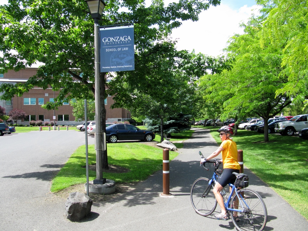
We then crossed a great-looking pedestrian bridge over the Spokane River. The views from the bridge were equally attractive. 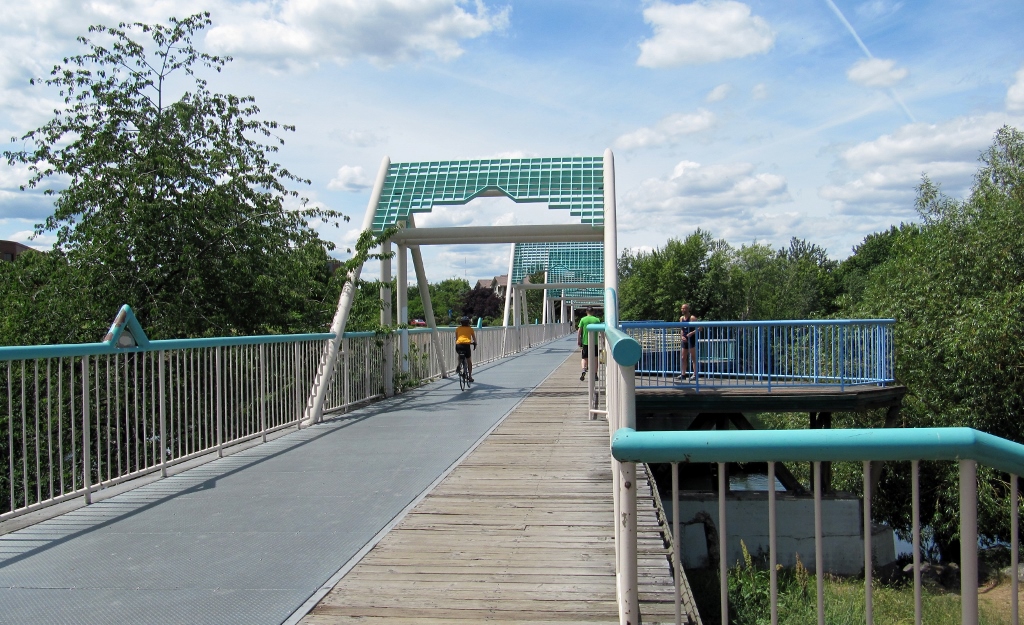
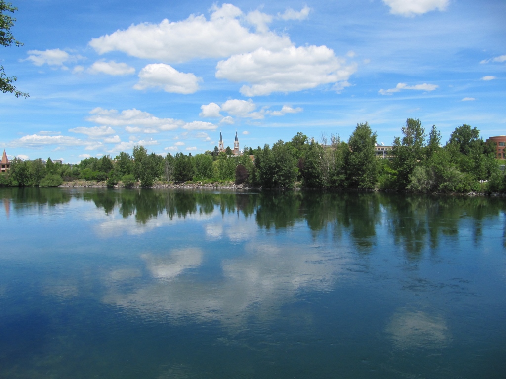
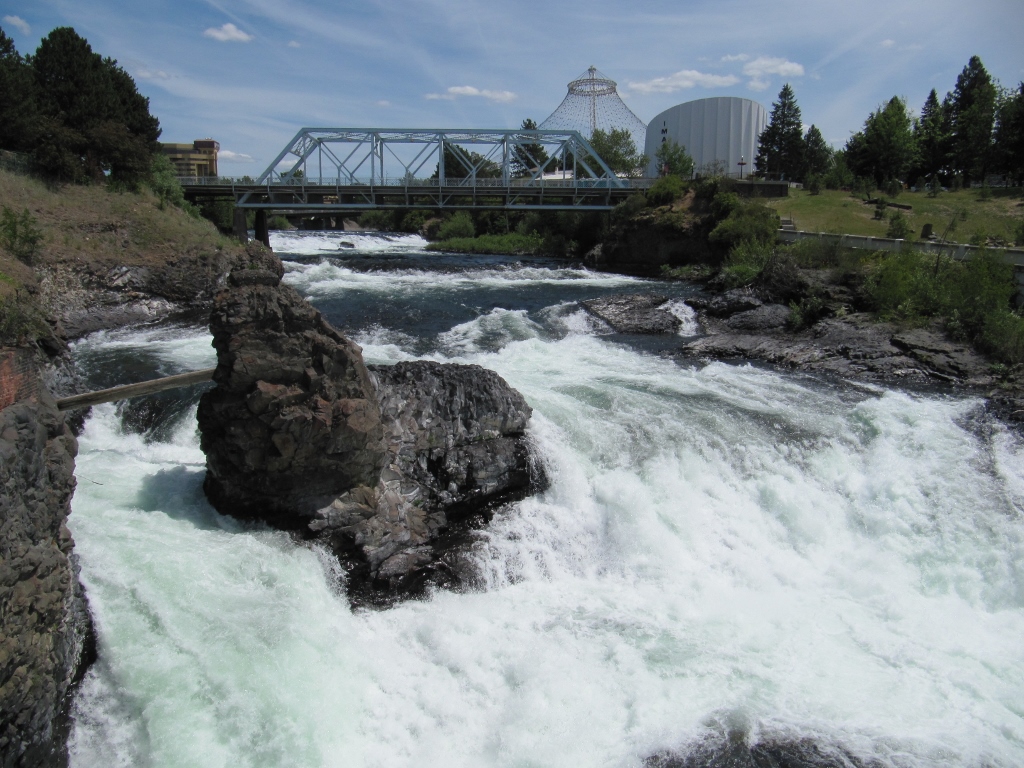
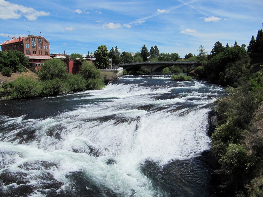
Spokane River
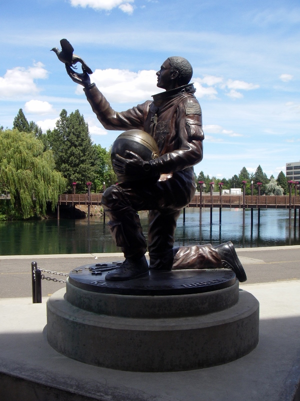
On the other side of the bridge is beautiful Riverfront Park. There were plenty of interesting things to see, like some great public art... 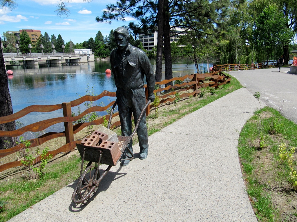
...and this beautiful bridge festooned with flowers. 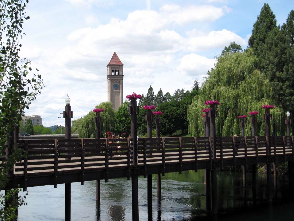
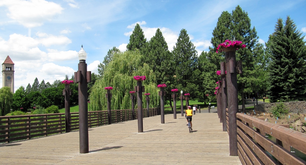
Across the flowered bridge, the park was teeming with people and vehicles. Turns out they were setting up for the annual Hoopfest a couple of days later. Rides for the kids and refreshment stands were being built up, so in places it was hard to get around by bike. 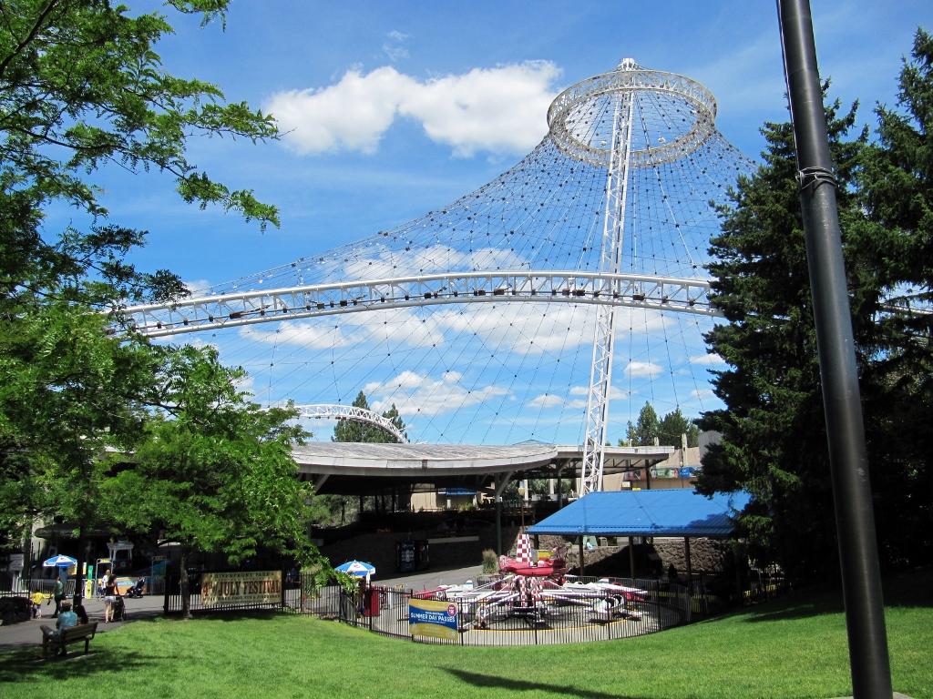
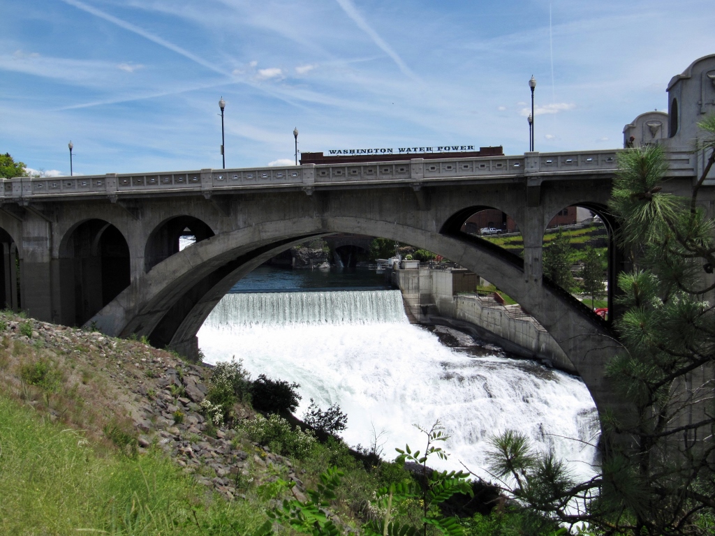
At this point, Barry and I split up. He wanted to ride to the trail's western terminus, and I was ready to turn around and head back towards Coeur d'Alene. As he was leaving the park, Barry took a few photos of the Upper Falls Power Plant. The power of so much rushing water is impressive indeed. 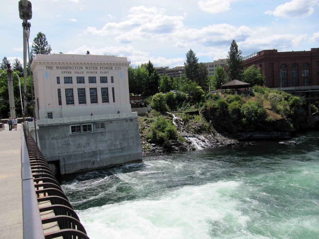
He got a little lost getting through the city as the trail was not well marked. But he ultimately found his way and forged westward. 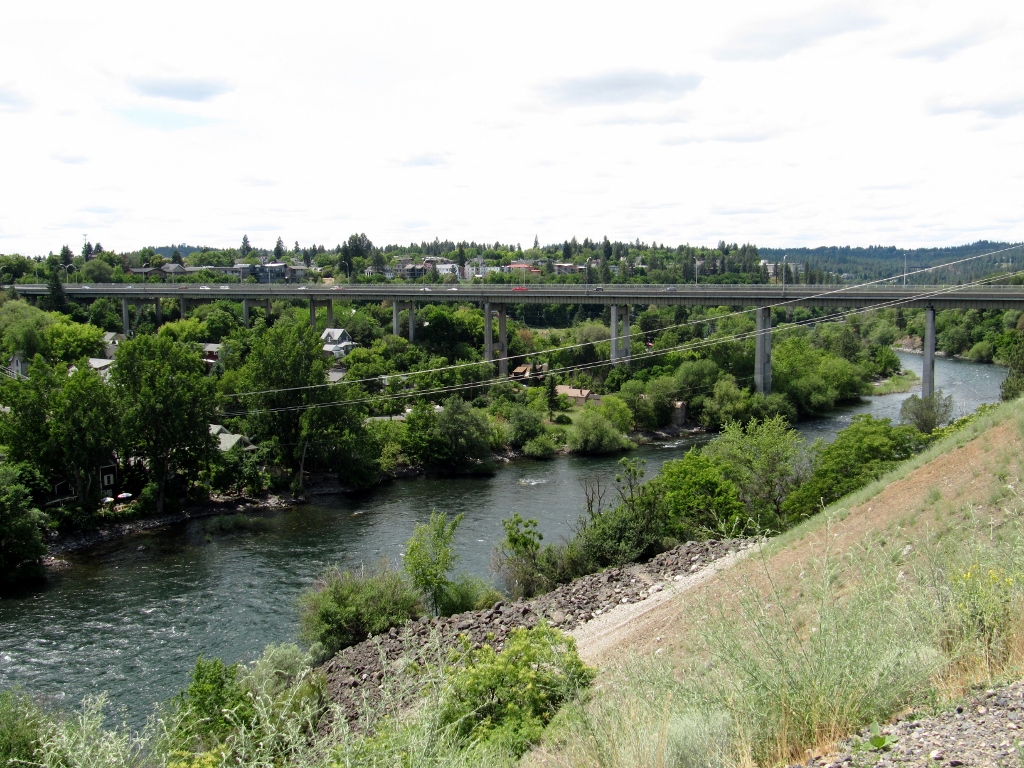
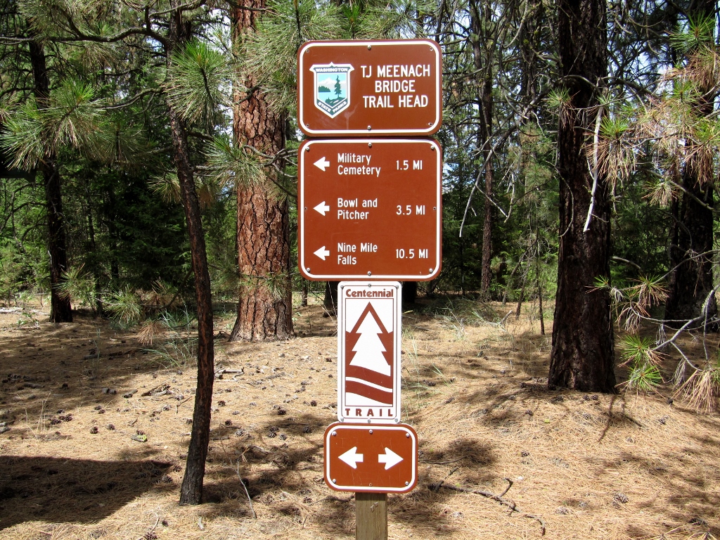
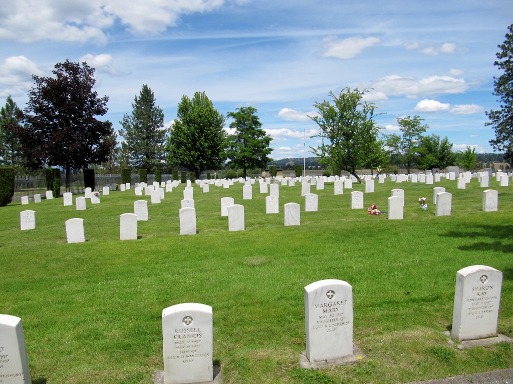
He checked out the Fort George Wright cemetery right along the trail. 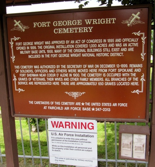
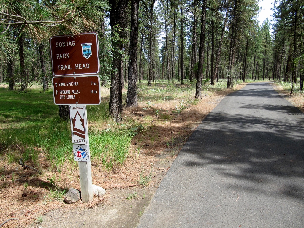
The westernmost trail segment was very hilly compared to the rest of the trail. According to the trail's website: "The western most section of the Trail begins at Riverside State Park and ends at Sontag Park in Nine Mile. This is by far the most challenging section of the Trail. Users are rewarded for their exertion with breathtaking views of the river and the wild beauty of Riverside State Park." 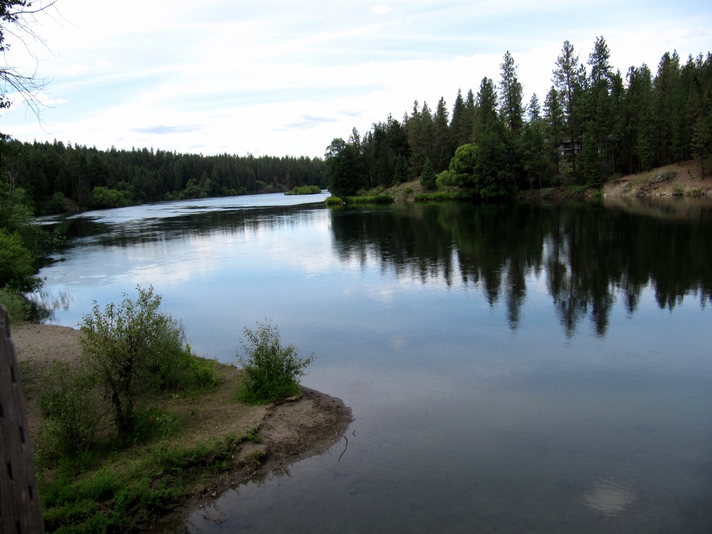
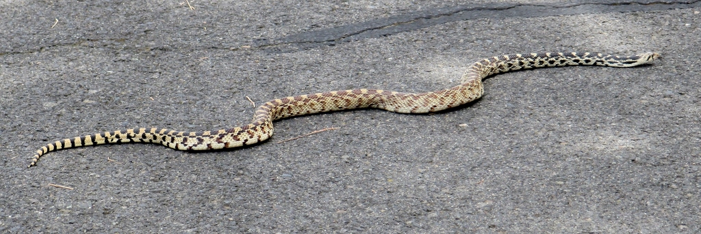
In addition to beautiful scenery, wildlife viewing was good. 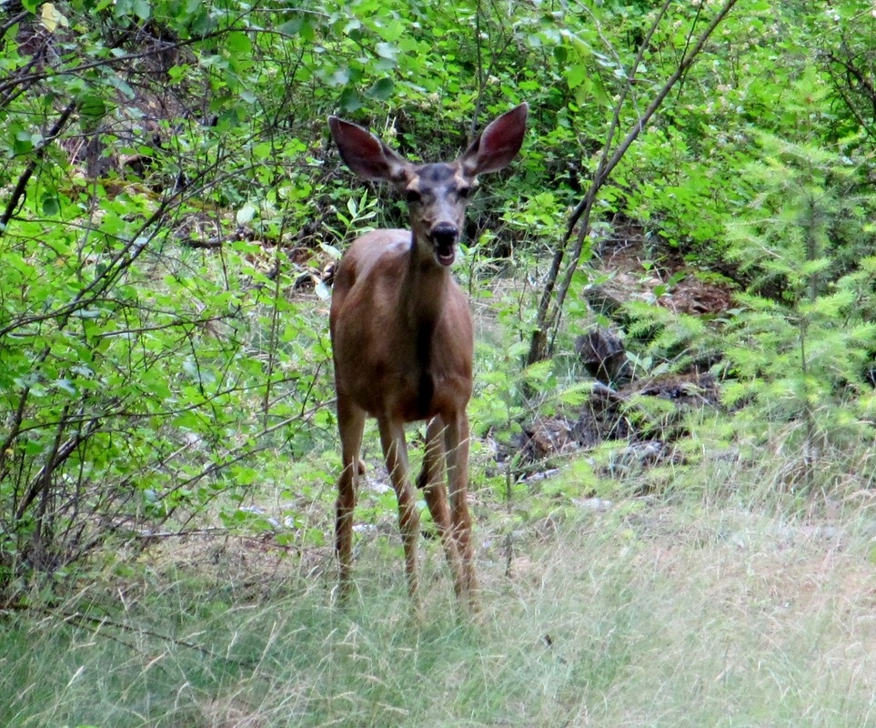
This cute deer looks like he is laughing
Barry called me at some point along here and said that he didn't think he was going to make it to the end of the trail. It was getting too late, and the going was slow. But he ended up persevering and getting there after all! No big surprise to me. :-)
He even took a selfie! 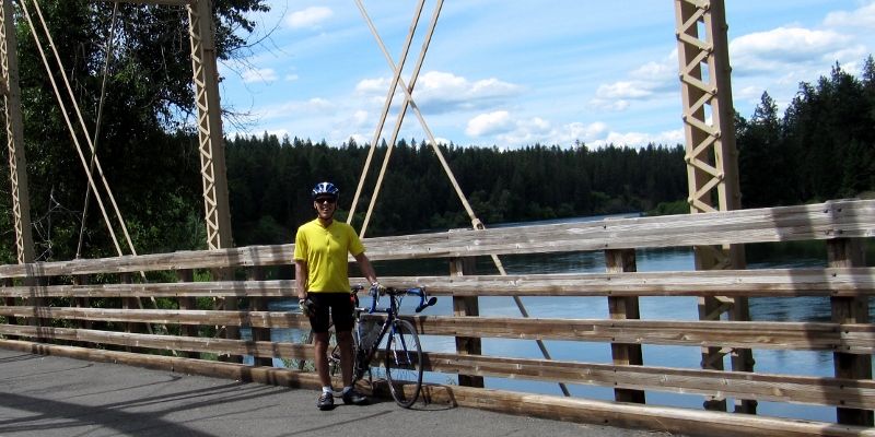
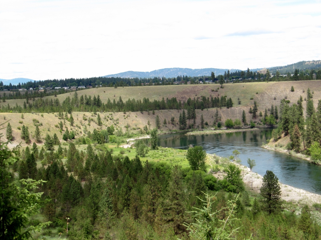
While Barry was heading westward and back, I was continuing to enjoy the beautiful views of the Spokane River on the way back to Coeur d'Alene. There were loads of berries growing wild along the riverside, most of which did not appear ripe. I finally took a closer look, and they sure look like blueberries to me! I ate one of the ripe ones, but it didn't have much flavor, much to my surprise. 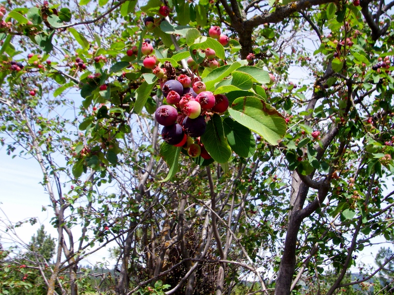
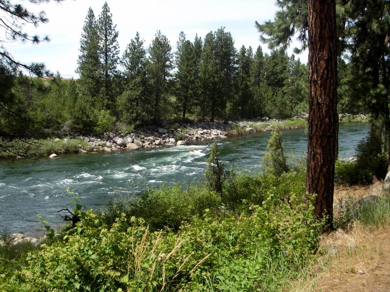
The Spokane River enchanted me
Eventually I got back to Idaho and even saw the state Welcome sign on the highway from the trail. I was happy to be on my bike instead of in a car! I had about 15 miles to go at this point. 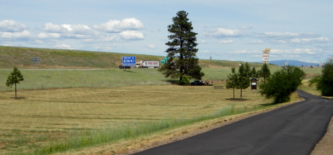
Nice pavement on the trail
Barry and I both got lost more than once on the way back due to poor signage when the trail detoured onto roads. We both agreed that Idaho did a better job with signage than Washington, though we both got lost in Idaho as well.
Fortunately, we both made it back to the hotel in one piece with plenty of miles under our belt. I ended up with 76 miles, and Barry (the animal), 112 miles. He is amazing, no? Stay tuned -- we still have to ride over to Lake Coeur d'Alene before we leave this pretty area behind!
0 Comments
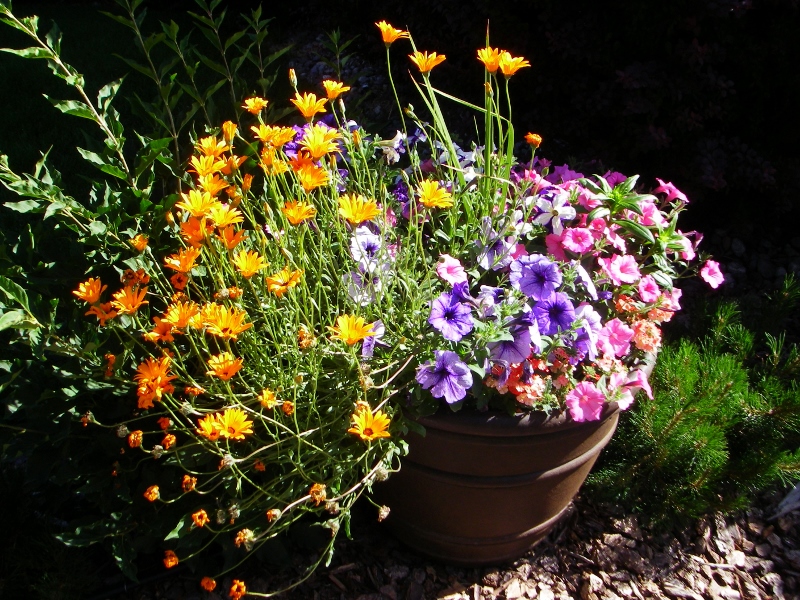
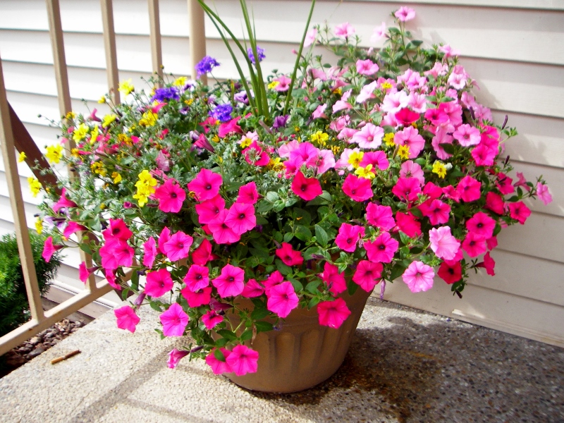
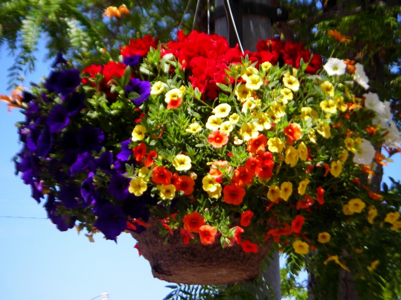
 Missoula, Montana to Coeur d'Alene, Idaho Leaving Missoula the day after our fun bike ride around the city, we didn't have long to drive before we were in yet another new state for me (but not for Barry), Idaho. And we were in the Pacific Time Zone...this would be different! I've never been in this time zone other than one quick stop in LAX en route to Hawaii over 23 years ago now. I do like that prime time starts at 8pm, just like back east, though. Old habits die hard! 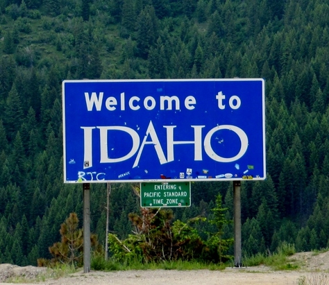 Our hotel grounds (Quality Inns and Suites -- very nice) were absolutely dripping with beautiful flowers in hanging baskets, barrels, and planting beds. So pretty! 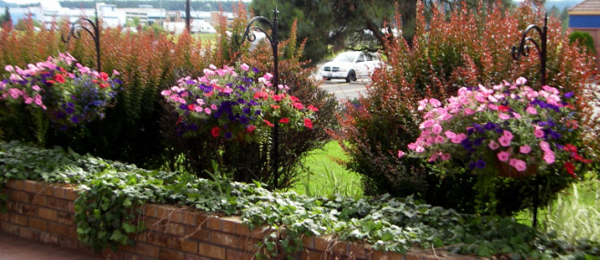
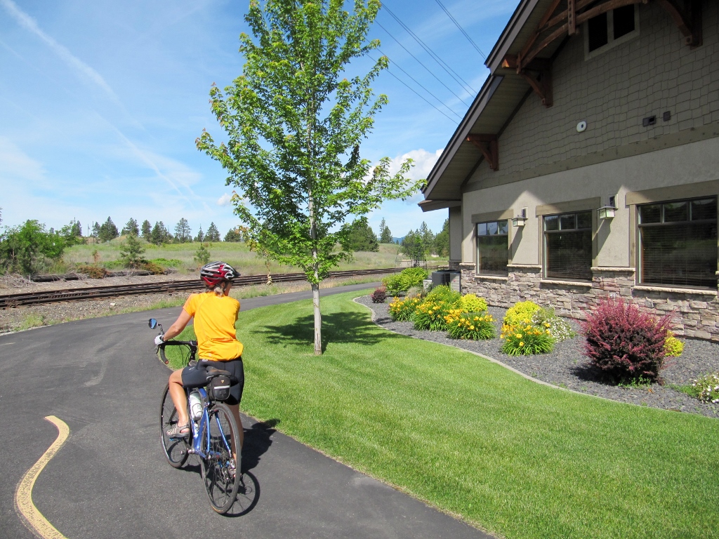
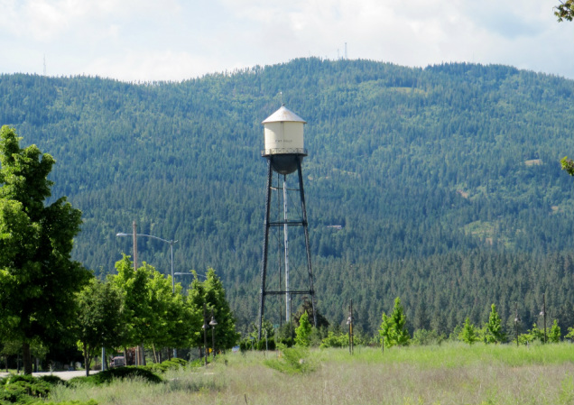
On our first full day (of two) in town, we rode the Centennial Trail, which comprises 24 miles in Idaho, then continues on into Washington State. We were able to access the trail just a couple miles from our hotel, and of course Barry figured out a way for us to bike there. This trail map is a little confusing because it is a mirror image from the typical map: Lake Coeur d'Alene is actually at the eastern terminus of the trail, and the trail heads west into Washington State. I'm not sure why they decided to show it this way. We accessed the trail around mile marker 13 and headed west towards Washington. 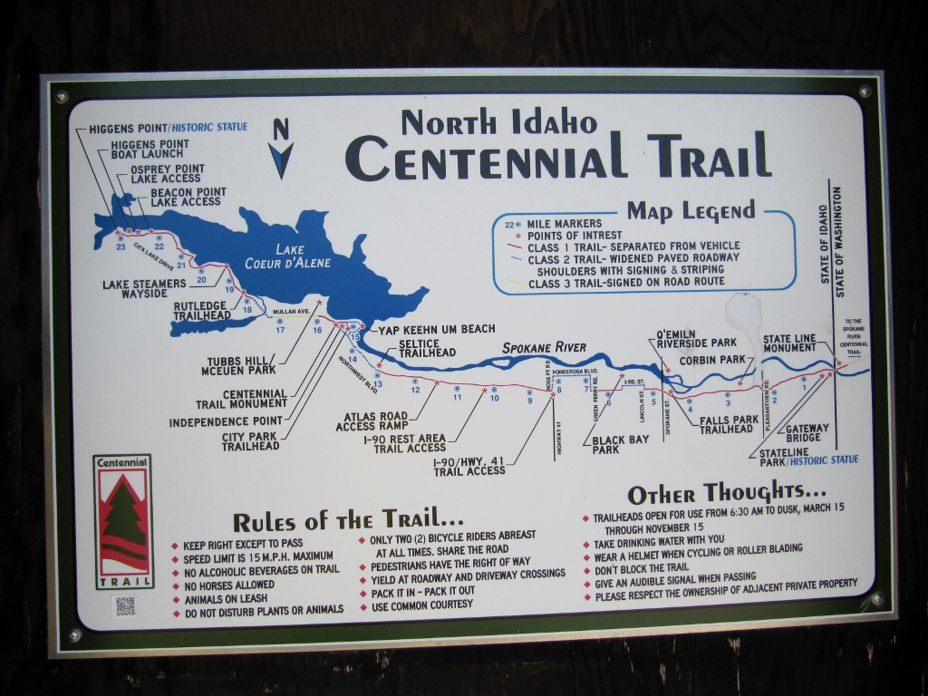 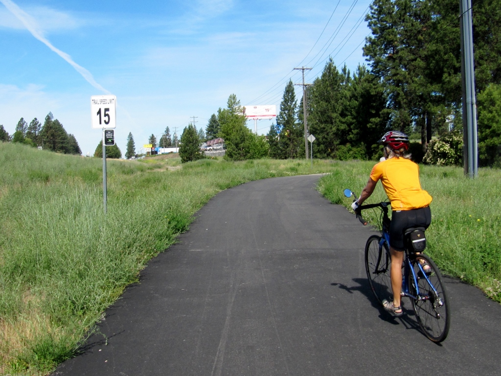 I'm sure we *never* exceeded the trail speed limit of 15 mph... We had to laugh at several grade signs in the early part of the trail. Sure, the percentage grade might be high, but these little descents were so short we were surprised they were signed. I guess they do it in case of very young (or very old!) riders who might be a little iffy with their brakes. Normally when you see these signs, it means you have a long descent ahead. Here, not so much! 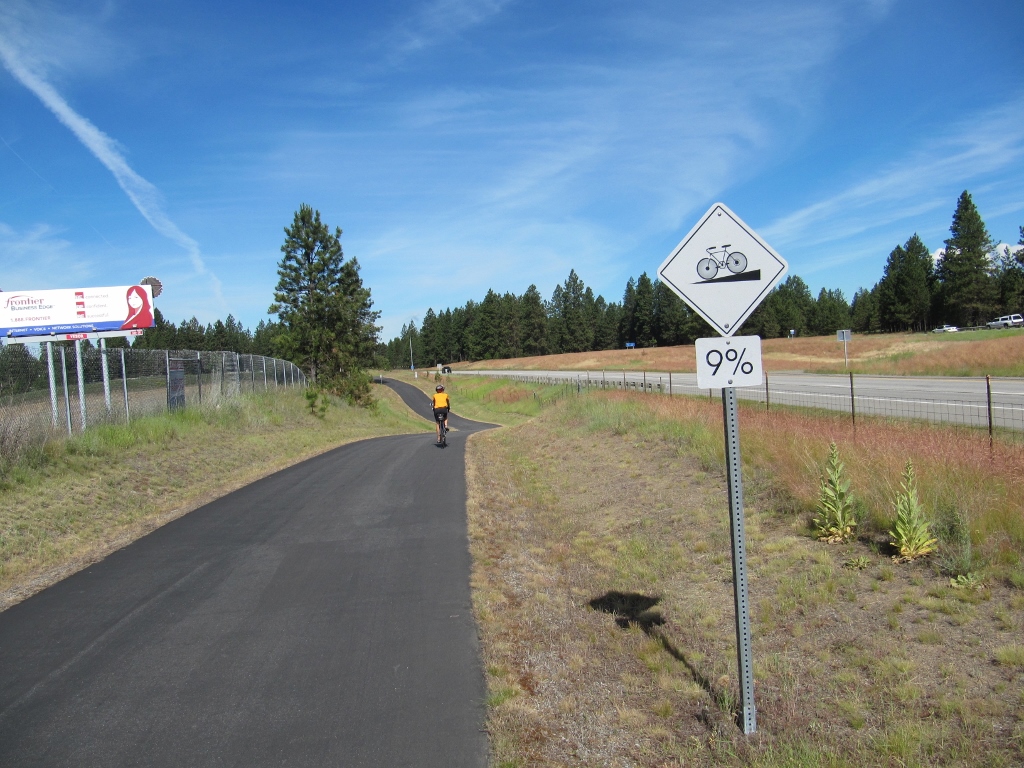 Just a short little 9% descent, then you're right back to flat or climbing trail... Several times, the trail detoured onto roads. Some of the turns on roads could have been better marked; it was easier than it should have been to make a wrong turn or miss a turn and get lost. 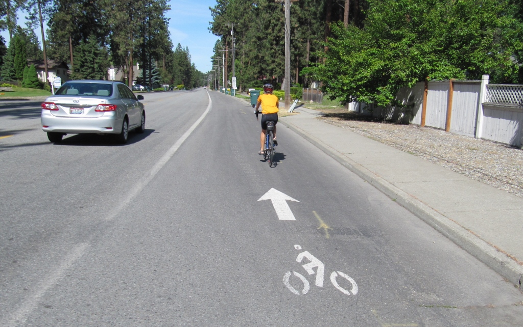 Wish all bike lanes were this wide! The trail traversed a mix of rural and suburban environments.
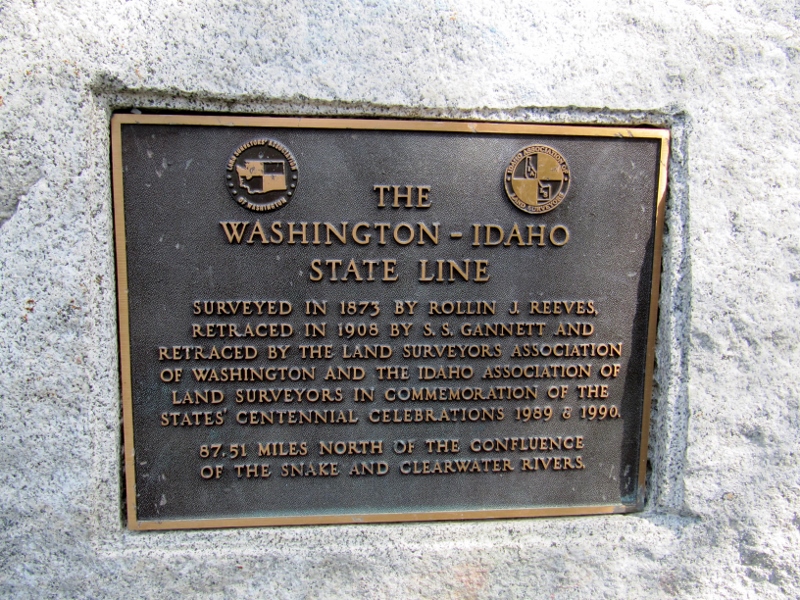
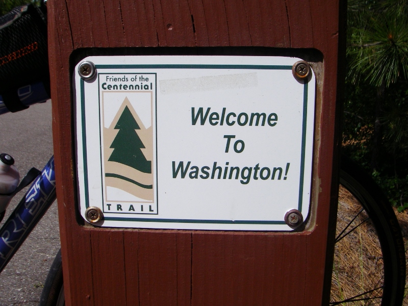
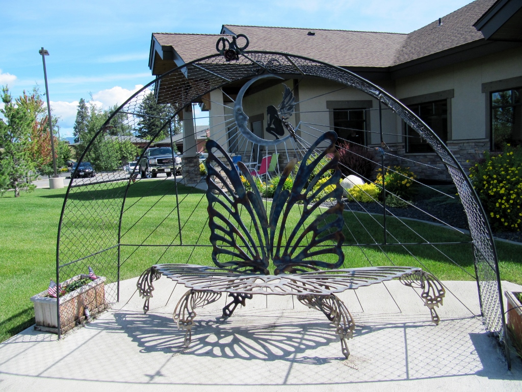 Whimsical sculptural bench and arch along the trail 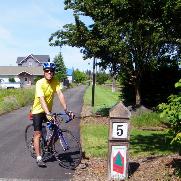 Trail mile marker We thought this was a funny/cute name for a port-a-potty. Naturally, I needed one early on...darn coffee! Very nice to find one right along the trail, and thankfully, it was immaculate. Idaho gets big props for me for that! 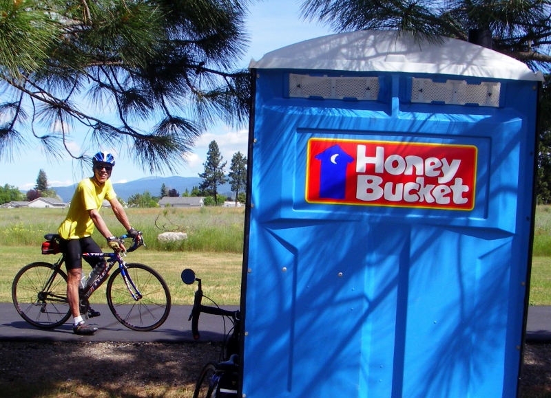 Before we knew it, we were approaching the state line and entered a new state for both of us -- Washington! It was fun to enter a new state on our bicycles rather than in a car, for a change.
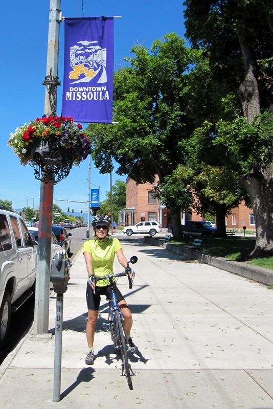
Here I am standing across the state line, mile marker zero on both sides of the trail! 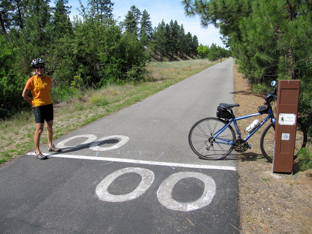 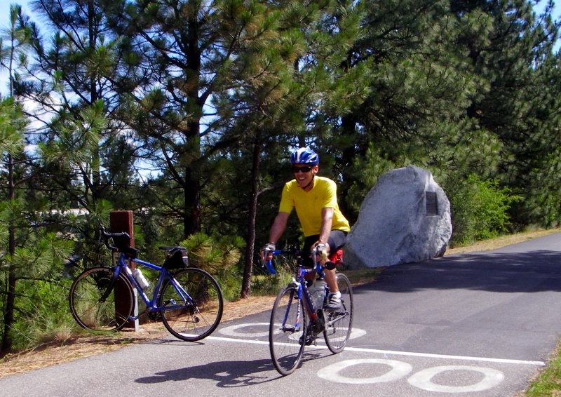 Into Washington we go! The scenery got dramatically better as we continued into Washington and the Spokane River flanked one side of the trail. We started off next to the highway, but the trail soon wound its way into the evergreens, providing much-appreciated shade. The river got prettier and prettier as we went along, and we had to stop numerous times for photos. We were loving Washington already! 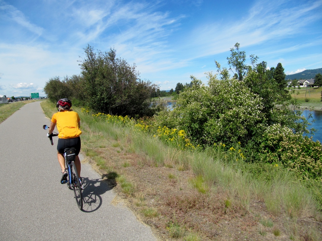 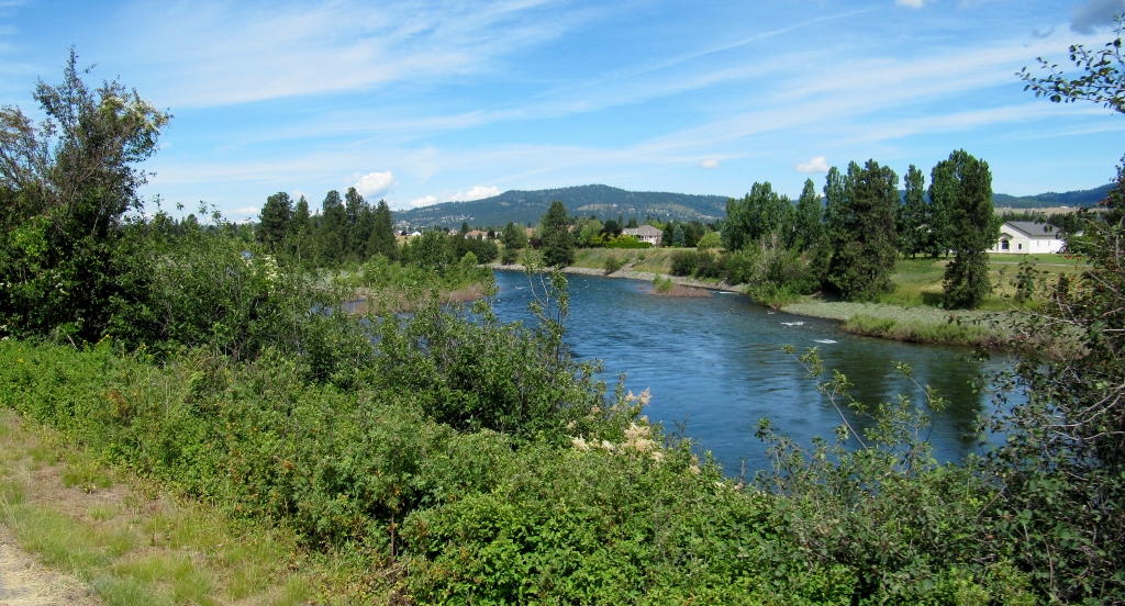 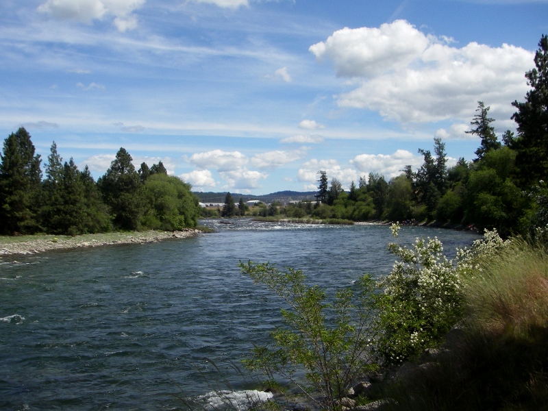 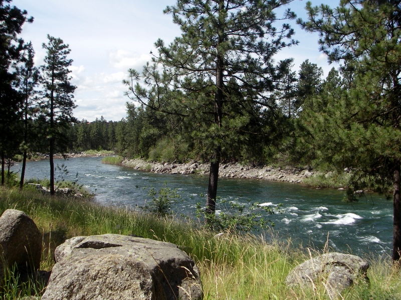 The Spokane River sounded and looked amazing 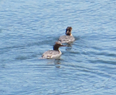 Common Mergansers on the river 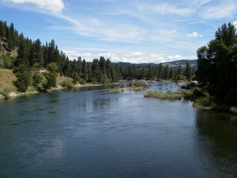 Beautiful Washington State Before we knew it, we were in Spokane. There was plenty to see here and beyond, so I'll save that for the next post. Stay tuned! 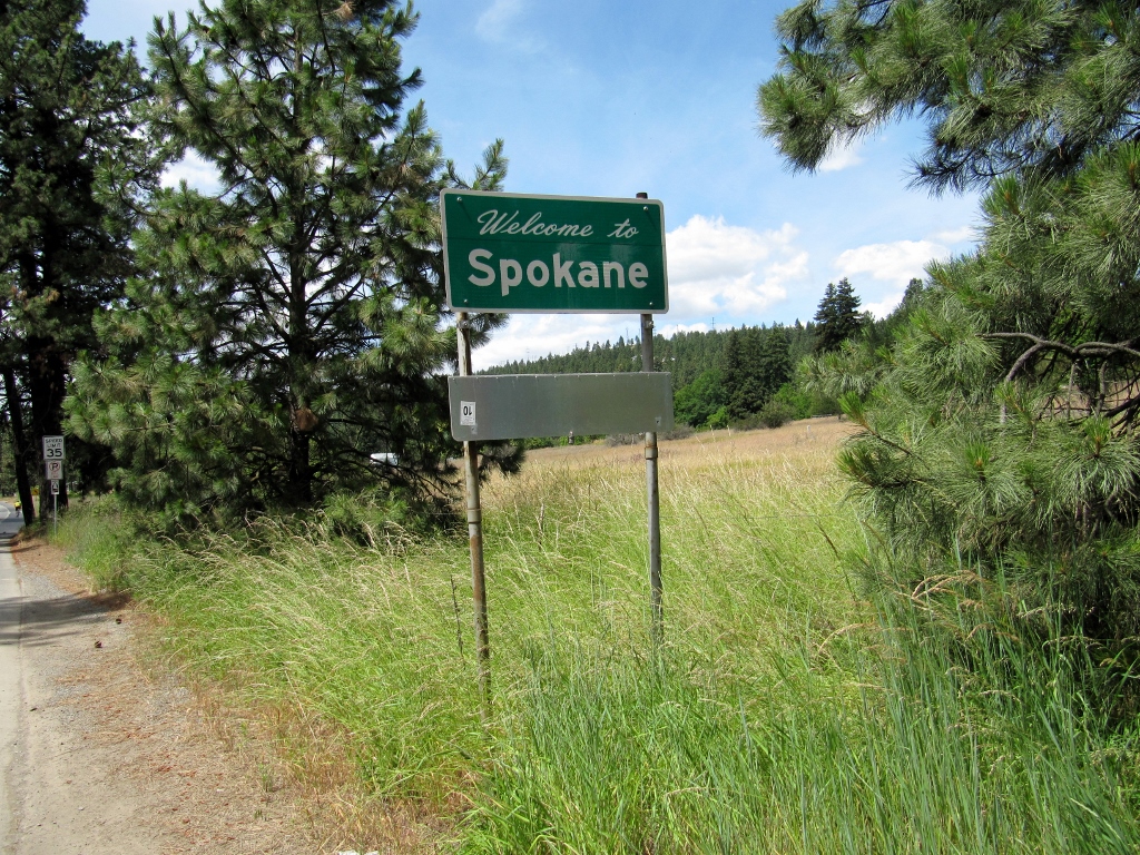 We had one full day to see Missoula, Montana as we passed through on our trip out west. Barry always does a thorough job researching the cycling options in any area we stay in or pass through. Whatever did we do without the internet? Since Missoula was named a "gold" level bike friendly city in 2012, he easily found plenty of bike routes, lanes, and bike paths. We made a day of it with plenty of stops and saw an awful lot of the city in a 41-mile ride. There was plenty of cool stuff to see! We started out riding the bike lane on busy Reserve Street right outside our hotel. The morning was a little chilly, so I had to don arm warmers and a vest. The mountain view featuring snow-capped peaks to the south was excellent. 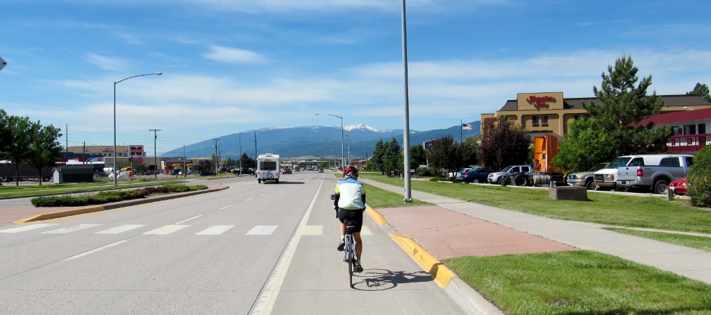
Riding on N. Reserve Street
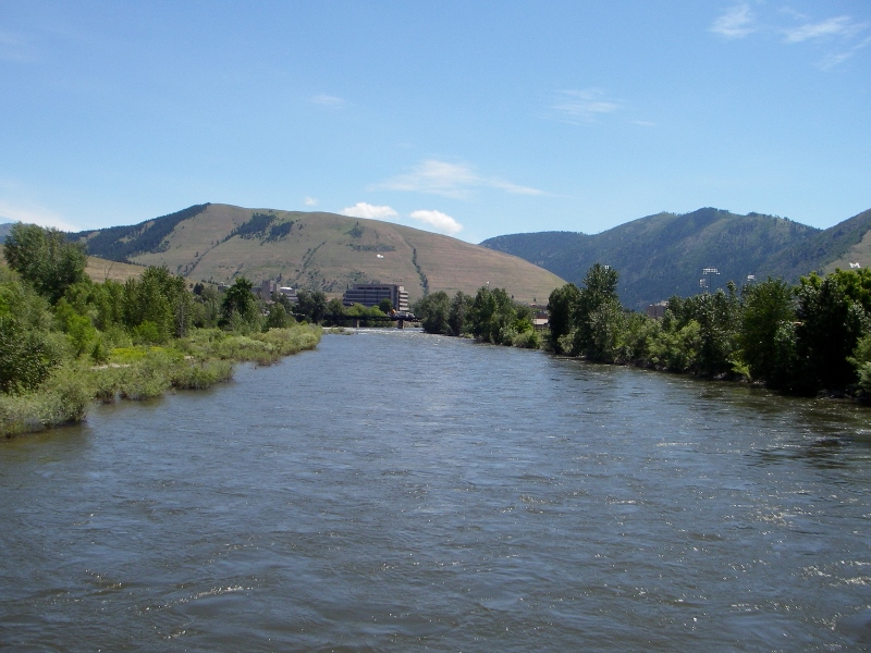
Soon we crossed over the Clark Fork River for the first time. We'd cross this beautiful river many more times during the ride on several different bridges, both pedestrian-only and shared with motor vehicles. The river and Missoula itself were featured in the Oscar-winning 1992 film, A River Runs Through It. I've never seen it, but now I want to! 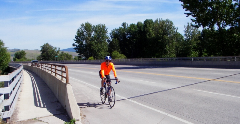
There was a great view from the bridge. 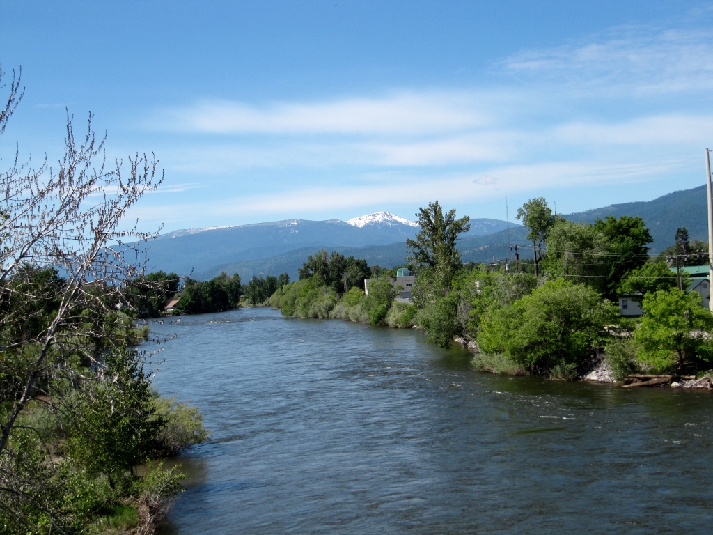
We took a bike path for a short bit and checked out a nice garden to the right. 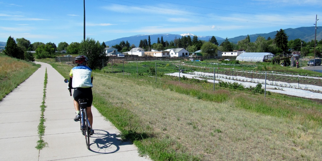
Then back to the road and approached the cute and artsy downtown area. Thanks to the warm sunshine, I've now been able to shed my arm warmers and vest -- sweet! 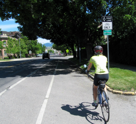
Crossing the river again, downtown awaits on the other side. This was a super bike friendly downtown with marked bike lanes and crosswalks everywhere. Many cyclists and bike racks were in evidence as well. Nice! 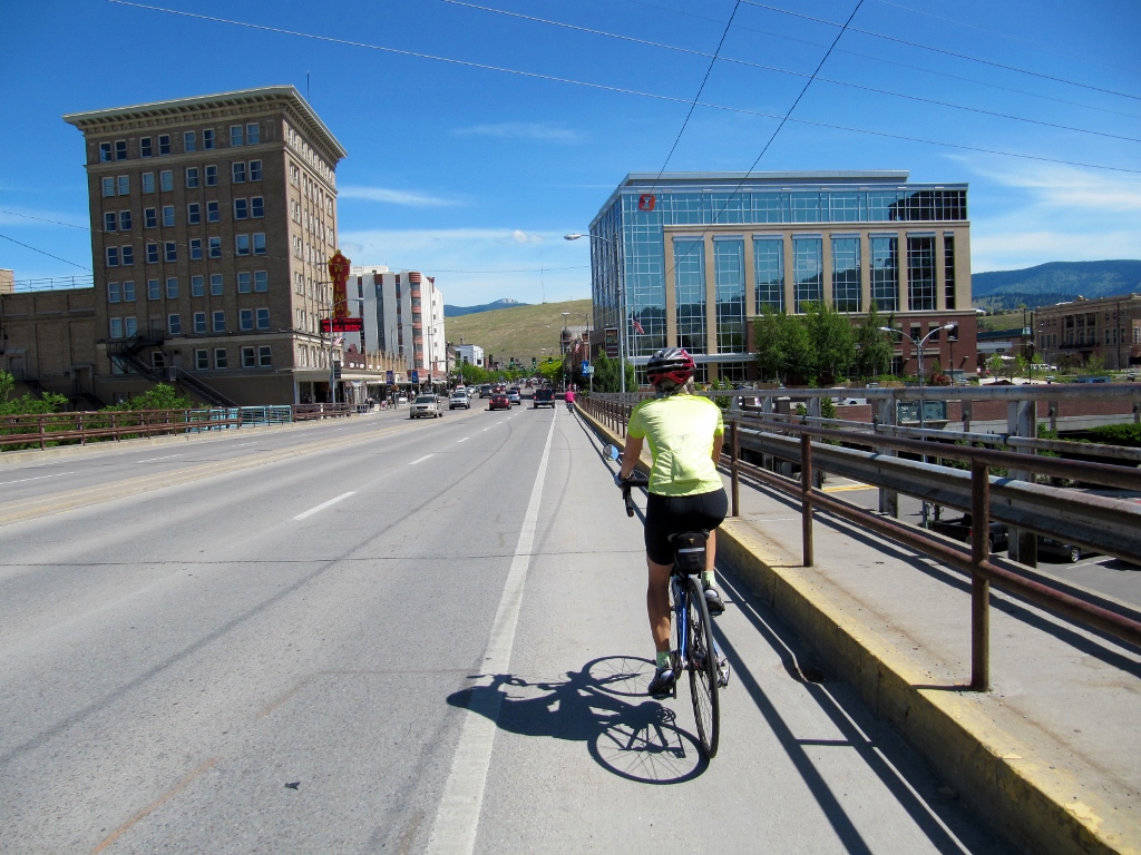
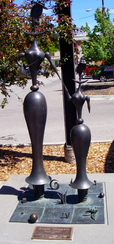
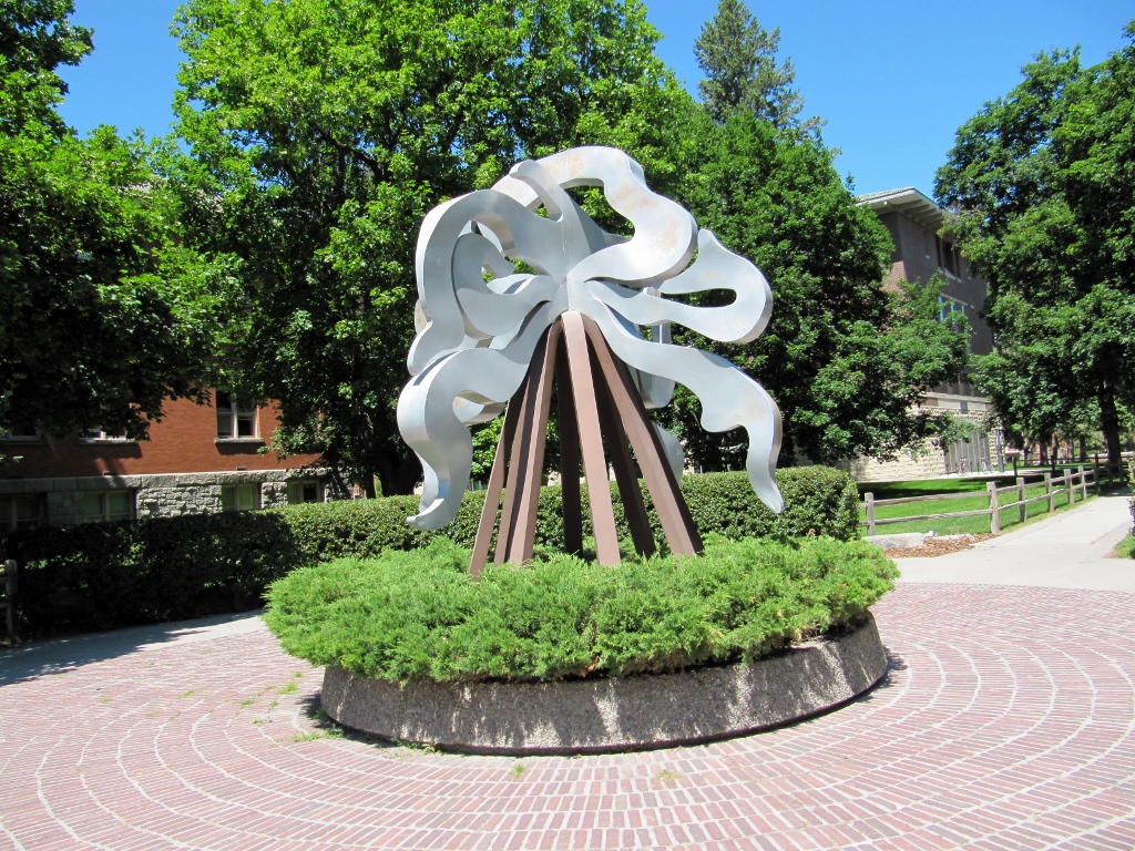
Here's an interesting sculpture downtown. I had no idea what the four x's signified, but found this online (see what I mean about wondering what we'd do without the internet?) Crossings -- N. Higgins. 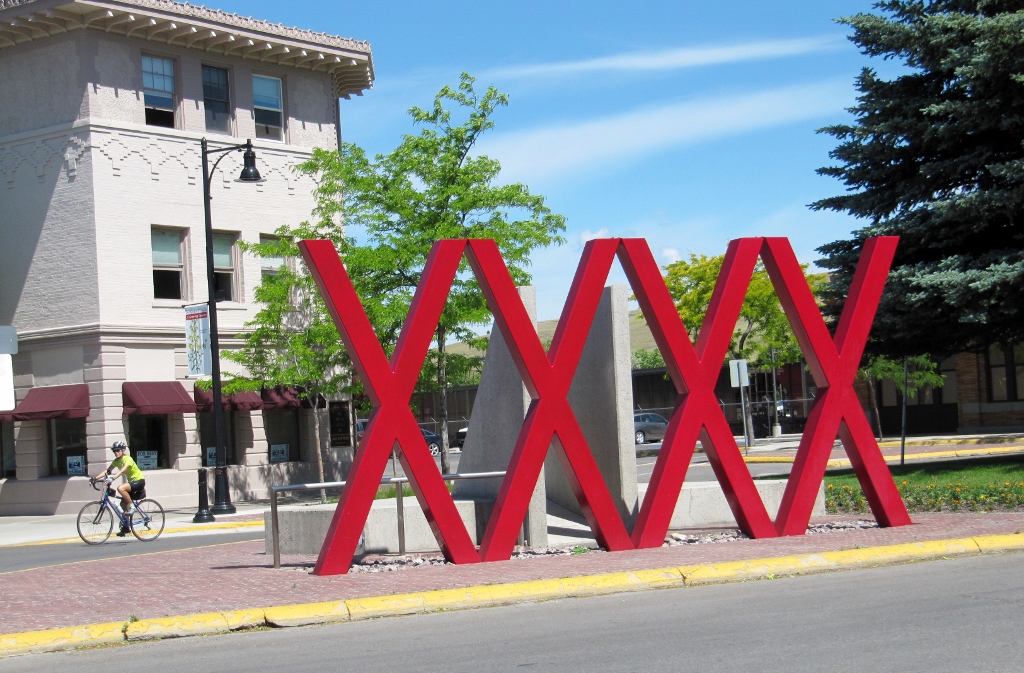
Public art in Missoula, Montana: "Crossings"
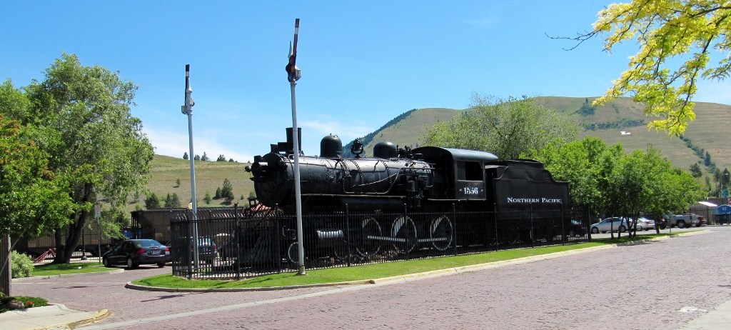
And here's the Northern Pacific Railroad Depot right behind the sculpture. X marks the spot! 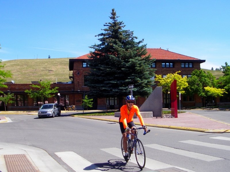
Continuing our exploration of the downtown area, here's more of what we saw. 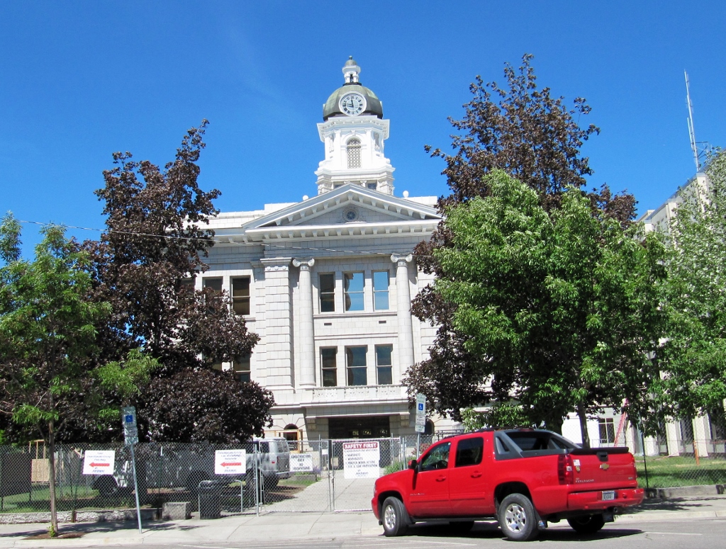
County offices under renovation
"Proper Shoppers" by Missoula artist Tom Rippon, a ceramics professor at UM
I loved this sculpture too. Entitled Wooly Rhinoceros, it was designed by Drummond artist Bill Ohrmann and stands in front of the Art Museum on the corner of Pine and Pattee streets. 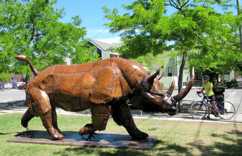
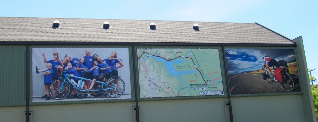
Across from the rhino on Pine Street, we found the Adventure Cycling Association -- we've been members for many years. They have an excellent magazine promoting bicycling (especially cycle touring) if you join. 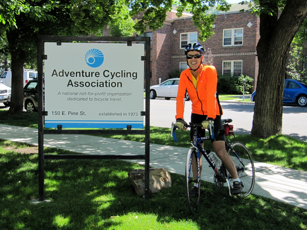
Adventure Cycling Association building
Moving on and in need of a pit stop, we found this lovely park. I love the timberframe architecture of the shelters. 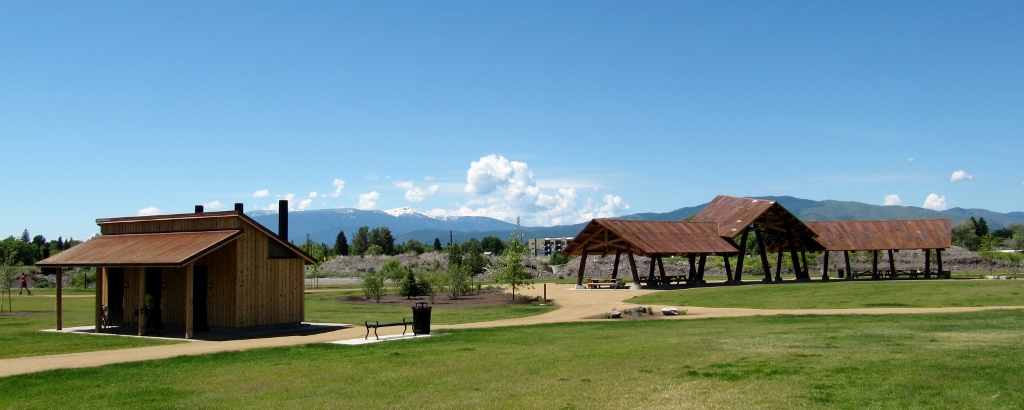

Here's an attractive (well, except for the graffiti) pedestrian bridge over the river, and a nice river view. 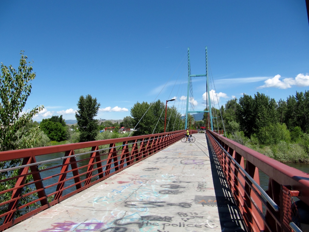
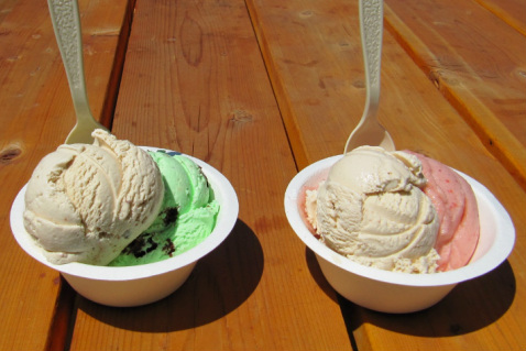
Naturally, when we rode by the Big Dipper ice cream parlor, there was never a question of whether we'd be stopping in. If you're a regular reader of this blog, you know that we love our ice cream! 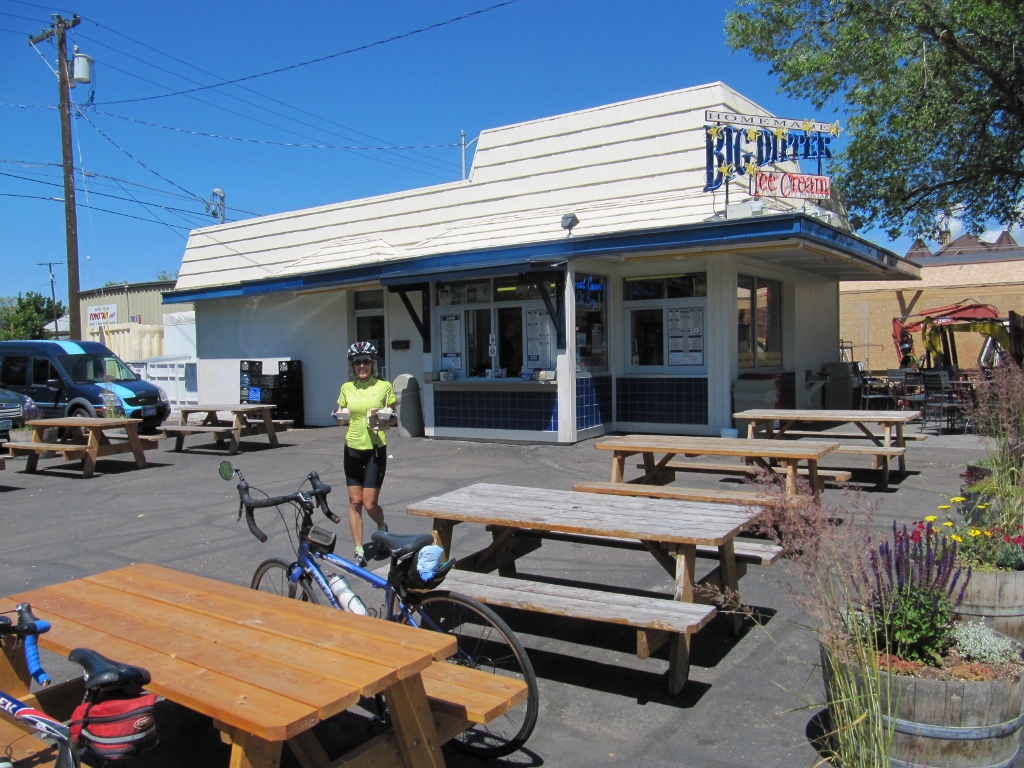
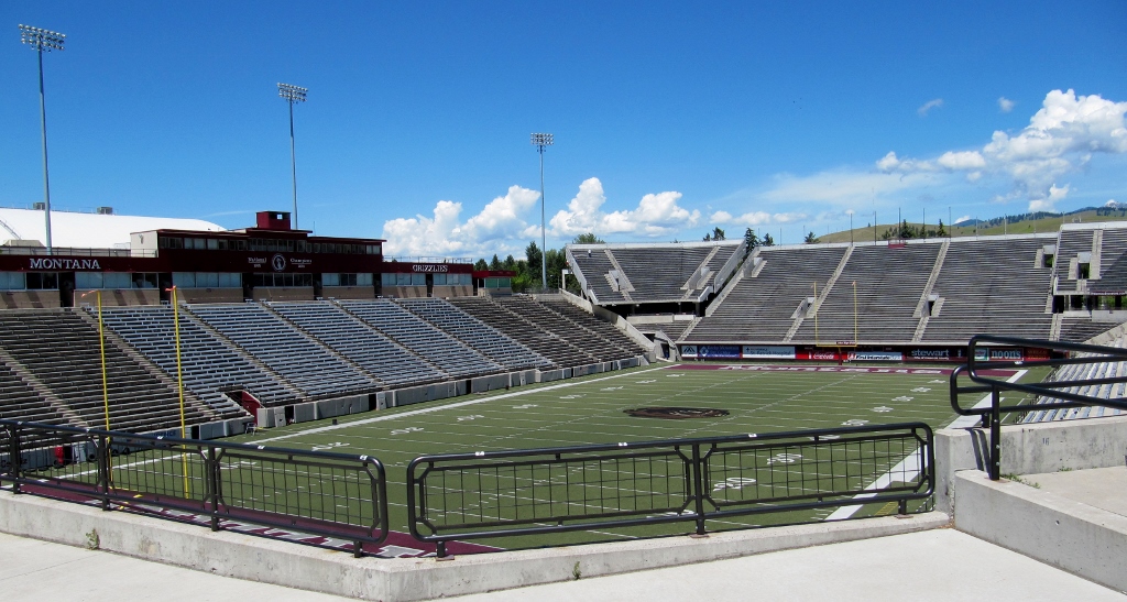
No visit to Missoula would be complete without checking out the University of Montana. This was the perfect time to do it as there was only a sprinkling of people around, perhaps for summer school or doing research. The attractive campus sits in the valley right in front of the large hills surrounding the city. 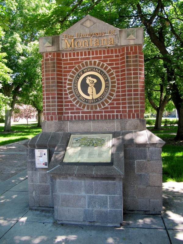
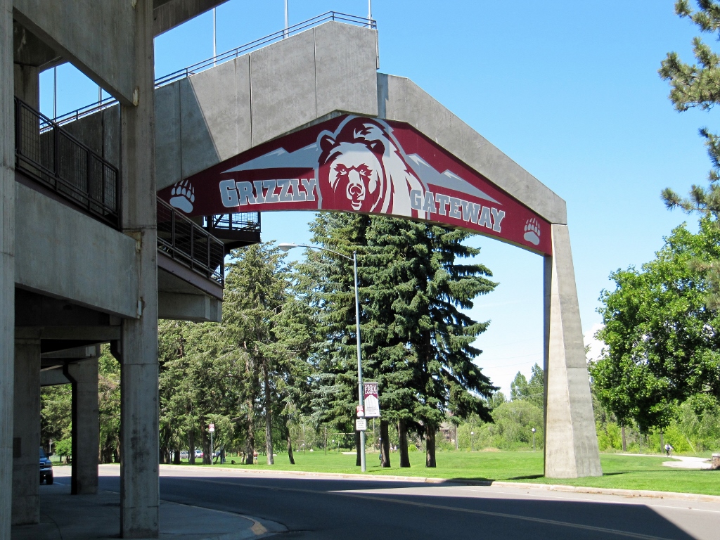
Had to get a photo of Barry in front of the grizzly bear statue in honor of the U of M Grizzlies. 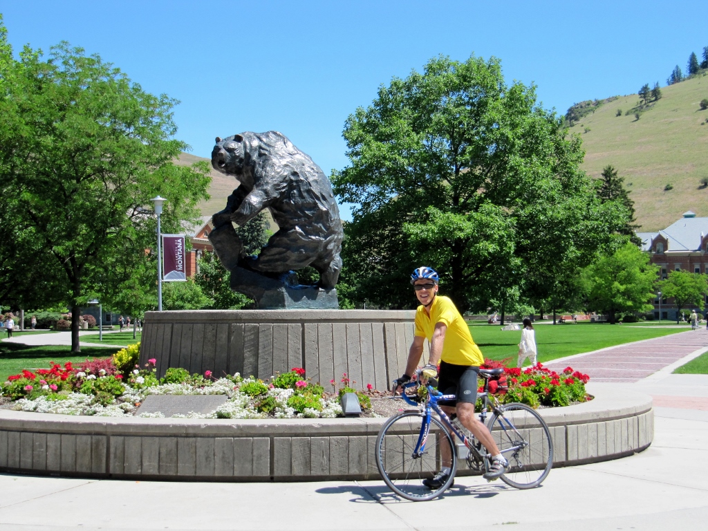
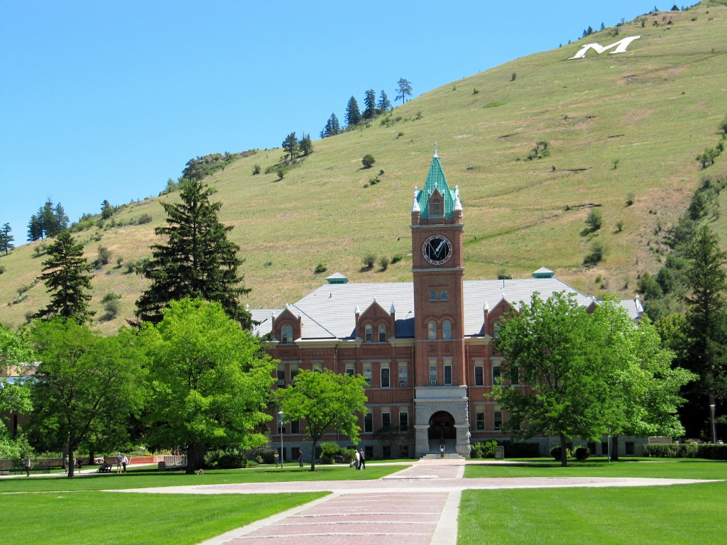
Note the large "M" up the hill beyond a zig-zagging hiking path.
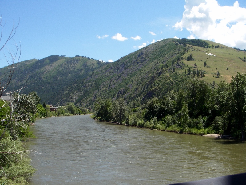
The river flows right by the campus -- very pretty
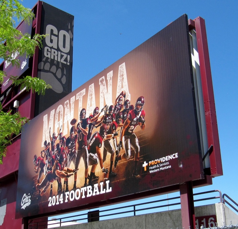
Football is a big deal here, and you can tell they love their Grizzlies.
I, on the other hand, was more interested in the fact that the entire campus, including the grounds, is tobacco-free. Heck, my dorm wasn't even tobacco-free at UNC-CH. How far we have come! 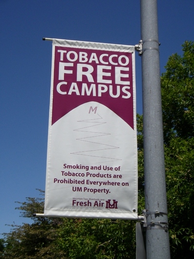
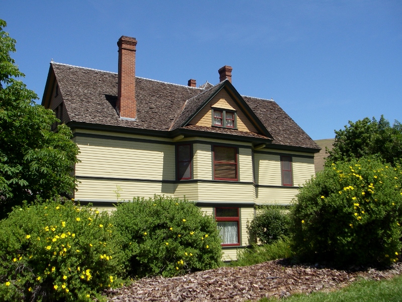
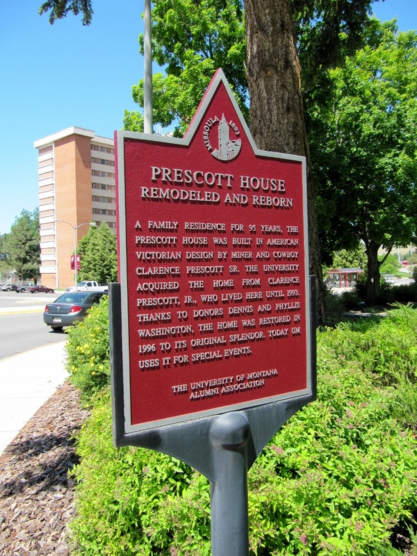
I was also enamored with the Prescott House, formerly a private residence but now owned by the university and used for special events. Charming, no? 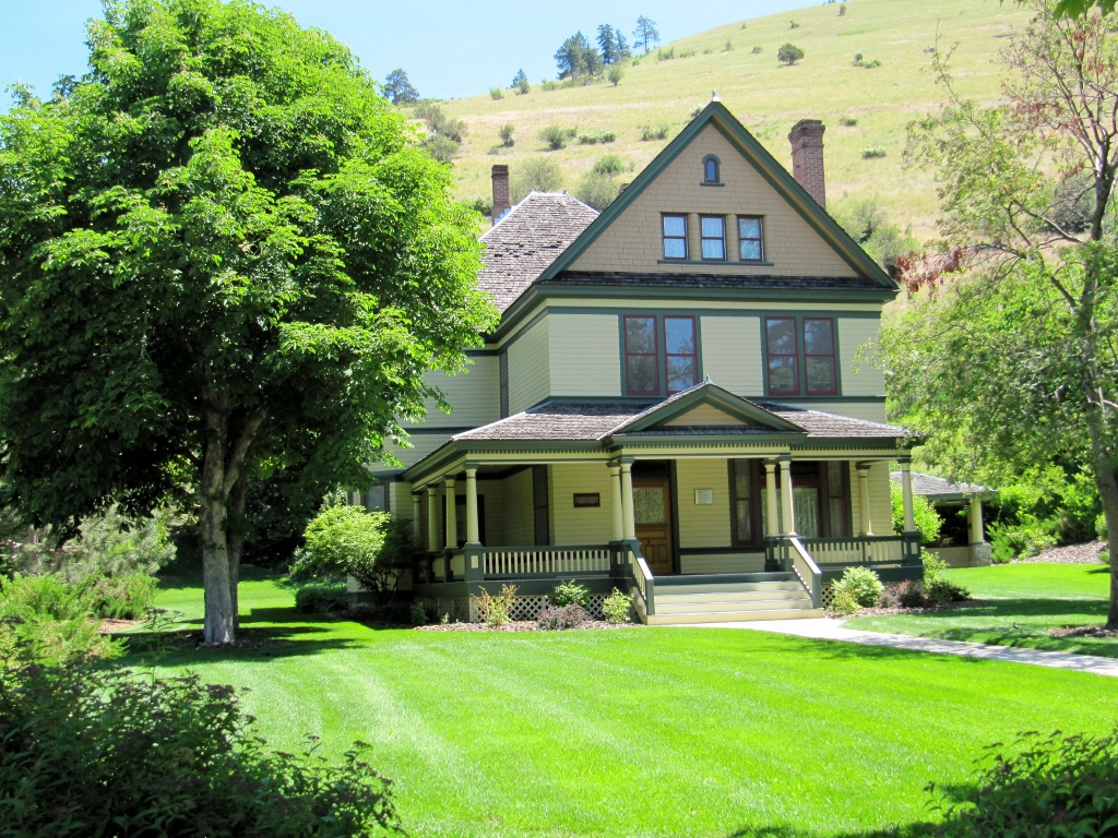
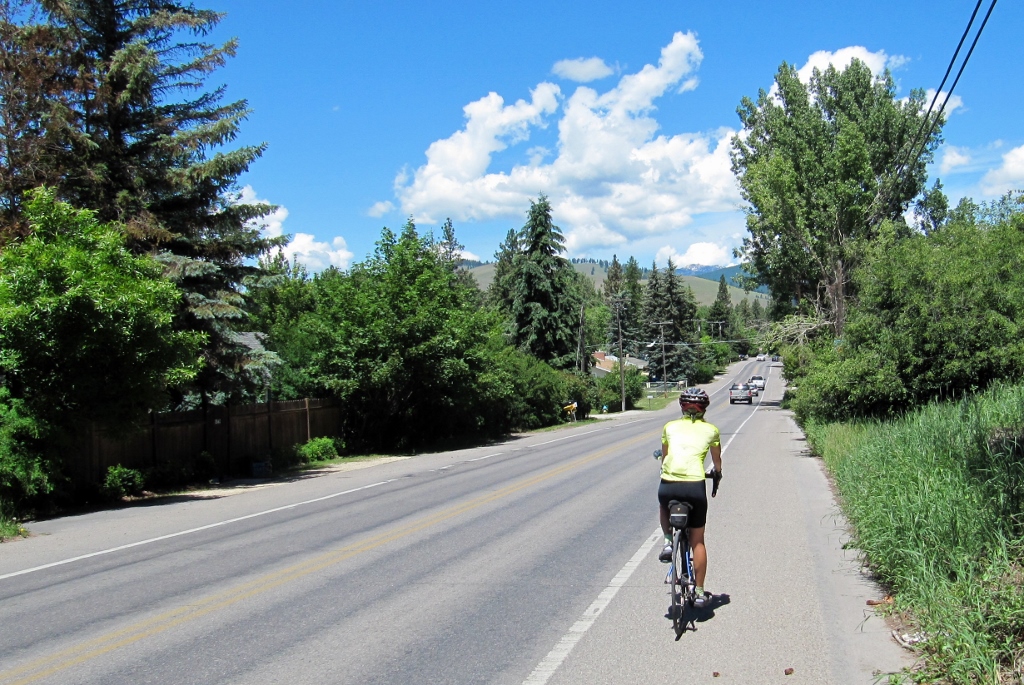
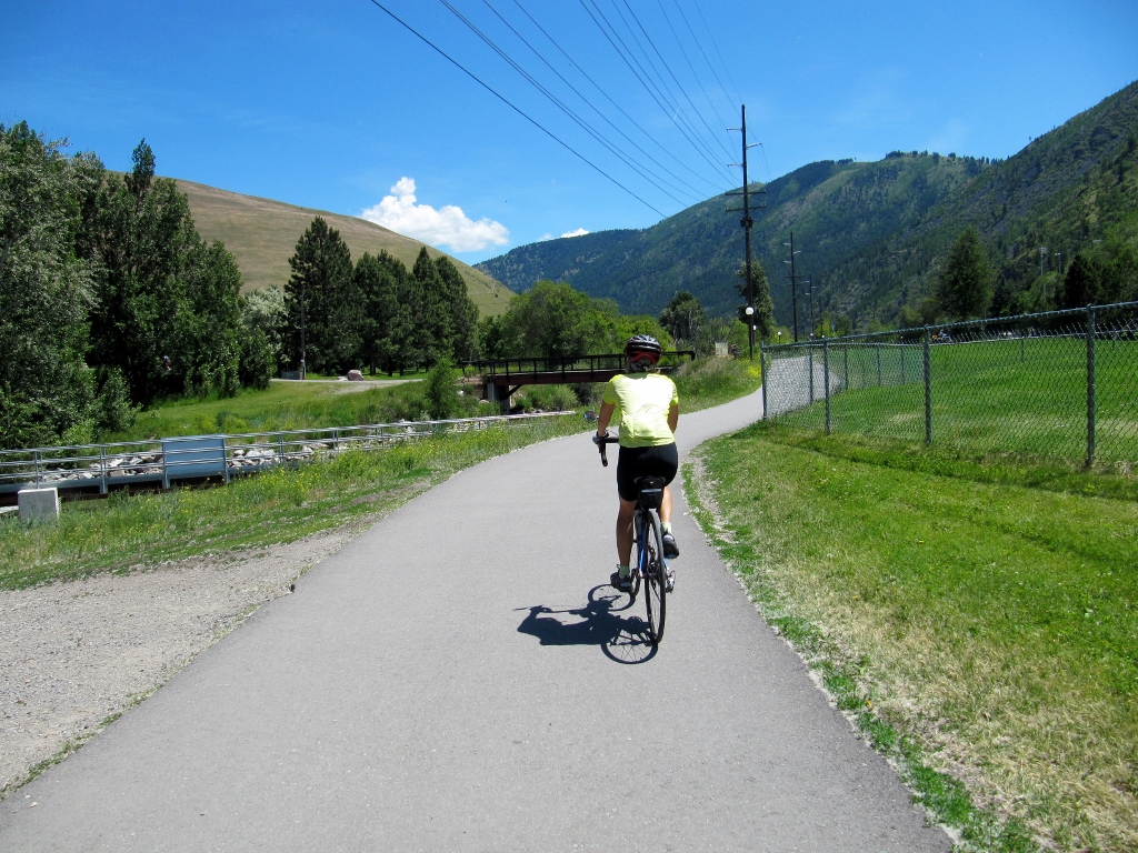
This older bike path we rode was a rail-trail. 
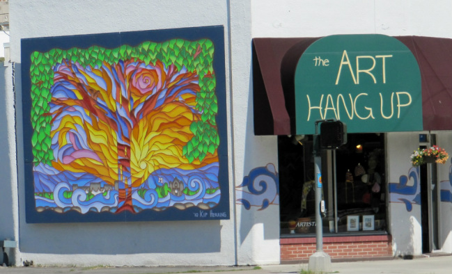
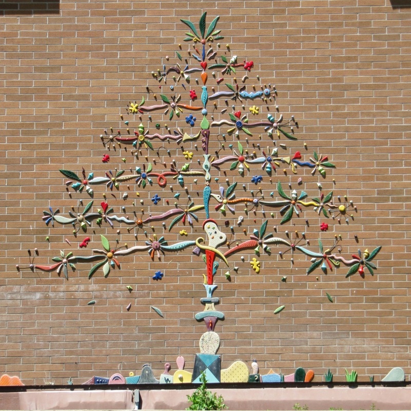
On the back of a building along this bike path, we were stunned to find this exquisite mural. This is one of those "hidden gems" you just don't see if you're driving in a car. We felt so lucky as it was one of the most memorable things we saw all day. Dated 2014, the colors were incredibly fresh and vibrant. It appears to depict native flora and fauna in this area. I had fun trying to identify as many of the flowers as I could, but I certainly don't know them all. 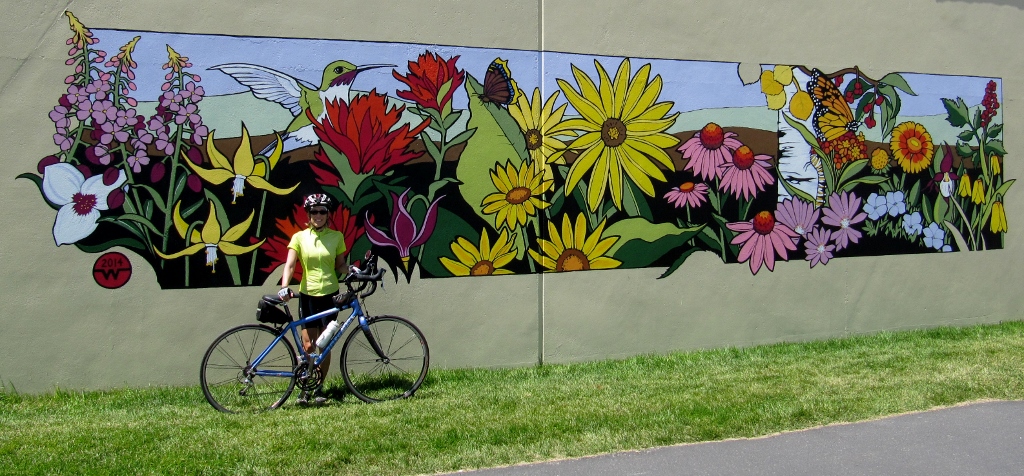
By this time in the afternoon, traffic was picking up when we got back on Reserve Street. Glad to have a nice wide bike lane to get back to the hotel along this busy road. 
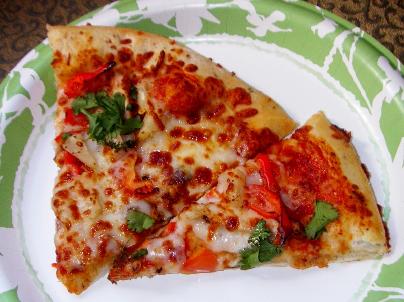
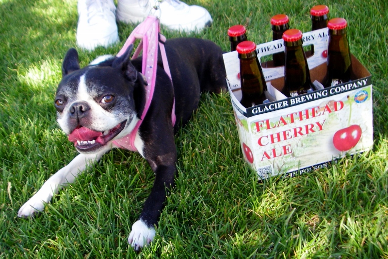
That night we treated ourselves to an excellent "Caribbean" pizza from MacKenzie River Pizza Co. and some cherry ale. We were able to walk to pick up both from our hotel thanks to the pedestrian crosswalks. Thanks Missoula, we wish more cities were as bike and pedestrian friendly as you! 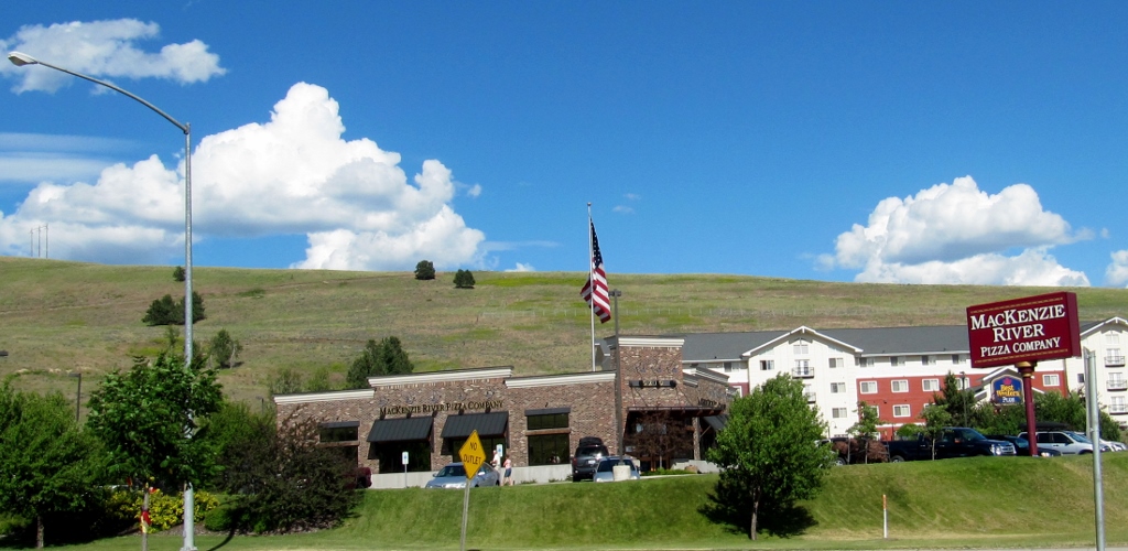
Stay tuned...Idaho is up next!
|
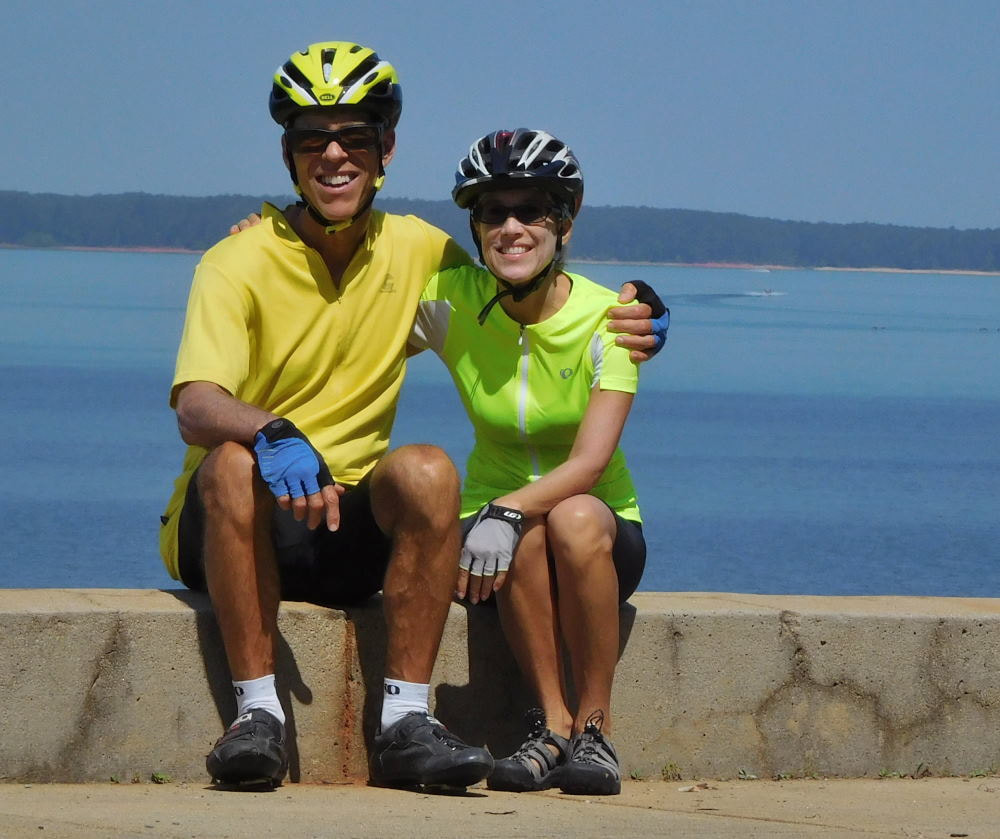
Emily & BarryWe're a long-married, early-retired couple who are currently traveling as nomads with no fixed home base. After years of living in North Carolina (Emily's home state), we spent 18 months living oceanfront on Ambergris Caye, Belize, a year road-tripping the US in a Honda CR-V, a year in Playa del Carmen, Mexico, and are now roaming North America in our 32' motorhome, Pearl, following warm weather whenever possible. 
Paisley, May 2016
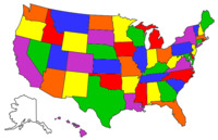
States visited (pre-RV)
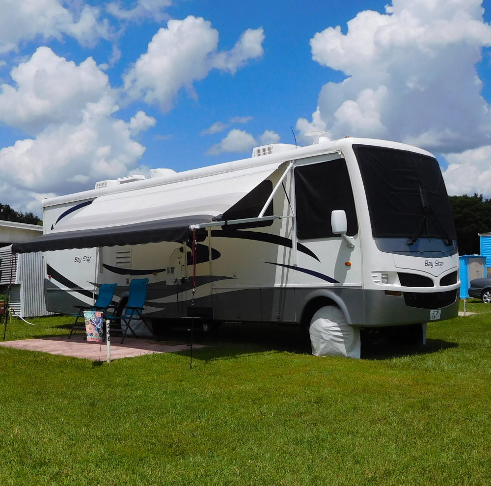
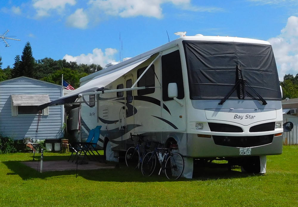
Pearl, a 2007 Newmar Bay Star
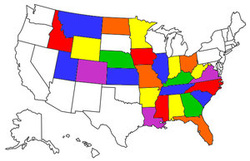
States visited in "Pearl"
Archives
July 2019
Favorite Travel Blogs |
 RSS Feed
