"Pearl" in Winter Garden, Florida
|
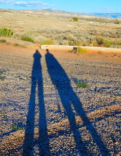
Long shadows in Wyoming
|
|
With the excellent cycling here in Tucson, Barry has been putting in mega miles, so I am doing some solo riding on days he wants to go long miles at a faster pace than I can manage. We mapped out a nice loop that takes in some lower-traffic roads and the very nice paved bike path along the Pantano Wash and comes in at around 16 miles total. There are places where adding on a few miles here and there can increase that total when desired as well. When riding solo, I can stop to take a lot more photos, so this blog post is a bit of a photo essay of this sunny Saturday's ride. Here's the breathtaking view to the north as I leave the condo complex where we're staying. I started pedaling to the east to start the loop. 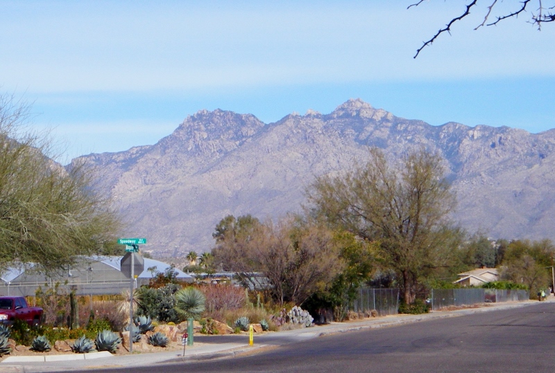
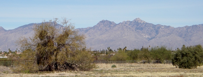
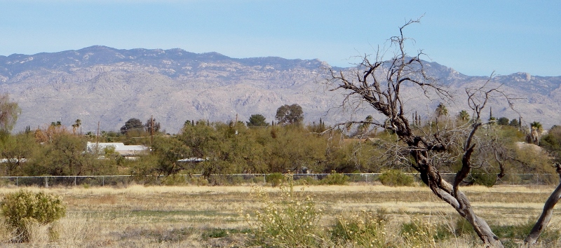
Catalina Mountains
After riding on a few lightly-traveled residential roads, I arrived at the start of the bike path running alongside the Pantano Wash. The park along here is quite interesting. 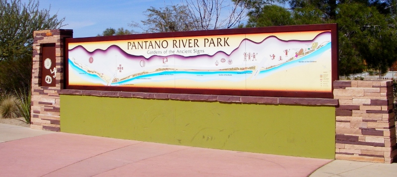
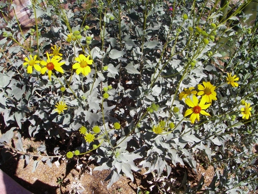
All along the trail are separate gardens labeled with different signs. 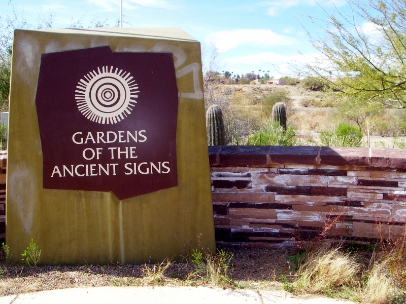
Here are the various gardens along the trail. Each one has its own sign logo, so it's easy to know which garden you're in. 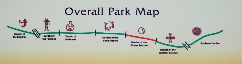
For example:
Each garden has its own sign as well with maps identifying the plants in the garden. Since I was cycling, I didn't really stop to look at individual plants, but it would be fun if you were taking a walk. 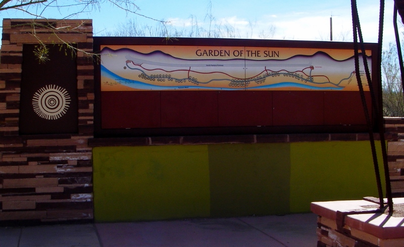
From the research I did, I think this is a Palo Verde tree, the state tree of Arizona. It's distinguished by its green trunk and branches. Trees are just leafing out here now that it's "spring" (a little earlier than we're used to!) Pretty, huh? 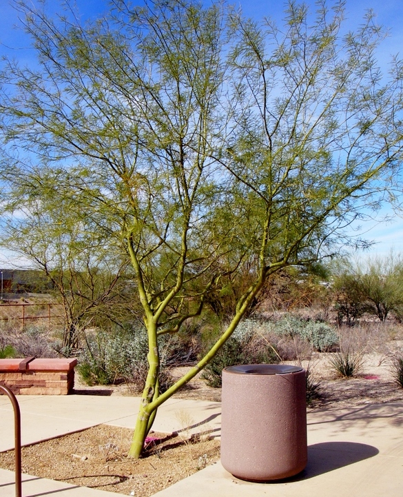
After riding roughly 3.5 miles south on the bike path, it turns east onto a short divided "bike highway", for lack of a better name. This is some fun riding, and bikes rule! Just wish it went on for miles. 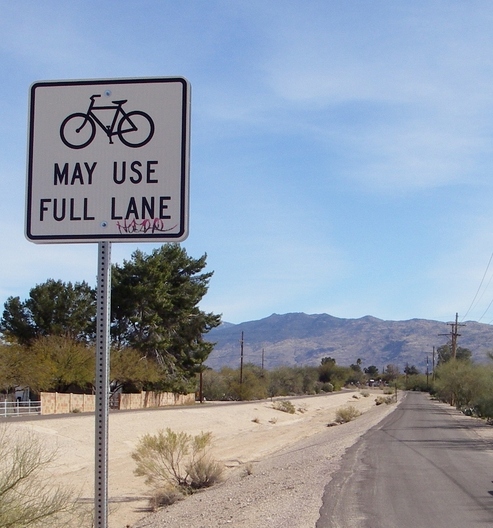
Love this sign!
Here are views towards the north from along the "bike highway". I just can't get enough of the glorious Catalina mountains.
At the end of the "bike highway", I turned to the south again along another paved trail running right beside Harrison. Views to the east were wonderful -- too bad about the power lines. The trail starts to climb a bit along here. 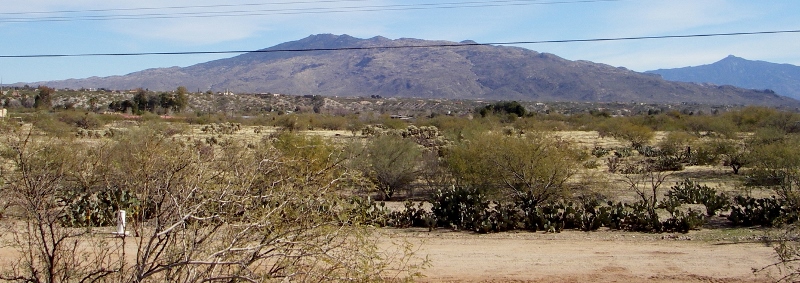
When I reached Irvington Road and the end of the trail, I took a right and started heading west along the road with bike lane. I'm still climbing at this point and am at the southernmost part of my loop. When I then turned right again onto Camino Seco, I could see just how high up I was, and the views were great. I could see all the way back down to some new homes I'd seen alongside the park and bike path earlier. 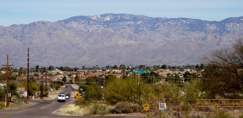
Next I took a little side trip down Escalante Rd. to check out a popular RV park. Not much traffic here! 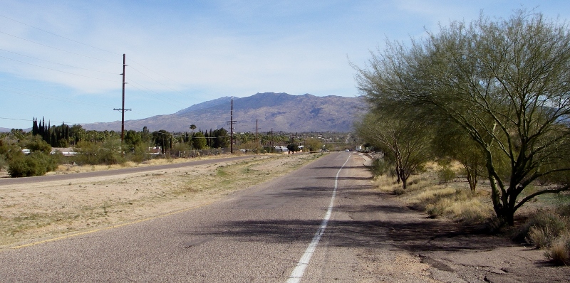
Escalante Rd.
I couldn't see too much of the RV park as it's gated, but it looks pretty nice. Lots of snowbirds here this time of year, and who can blame 'em?! I guess we're officially snowbirds now ourselves! 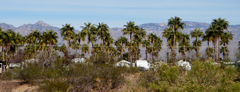
Rincon Country East hiding among the palms
After a fast and fun descent, I pedaled back to the the bike path and had a look at these new homes being built just off Michael Perry park. These are the ones I could see from way up high on Camino Seco, a couple of photos above. Not much in the way of yards but definitely low maintenance and perfect Tucson colors. I got a little bit of extra mileage just riding around the streets of this cute new community. 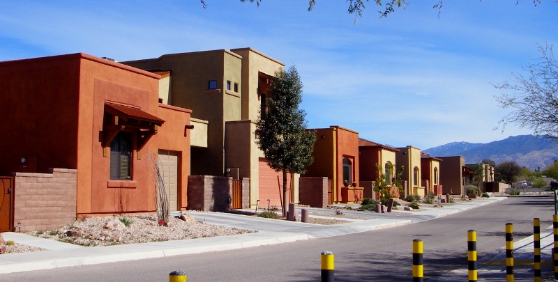
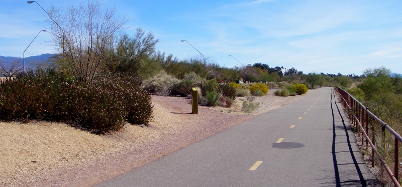
Then it was back onto the bike path heading north and checking out some more scenery along the way. I was surprised how uncrowded it was on a beautiful Saturday afternoon. 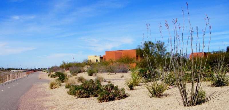
Bike path looking north -- note the lack of crowds!
And to the south -- still no one!
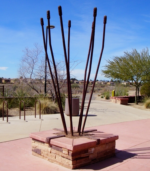
Desert plant sculpture in Pantano River Park
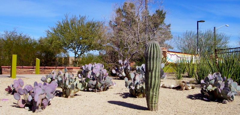
Cacti in Pantano River Park
I mentioned that the park and bike path runs along the Pantano Wash. This area is dry right now, but I found some amazing photos and Youtube videos of how it can get during monsoon season. Serious flash flooding can occur, so you certainly wouldn't want to get caught down there in a heavy rain. This time of year, however, is a different story. 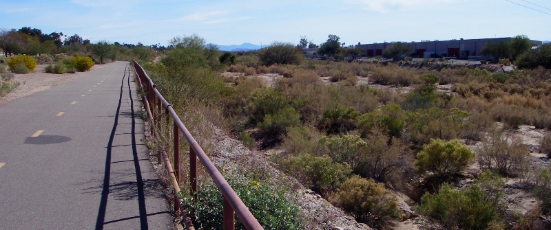
Pantano Wash (right)
This is a bit of a cheat as Barry took the photo of me riding on the bike path below on a different day, but I thought I'd slip it in here since there was no way to get an action shot on this solo ride! 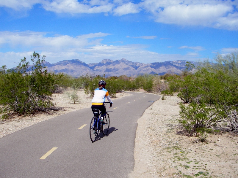
The mountain backdrop looks fake -- but it's real!
Here was my view north today...ahhhhhhhh.... 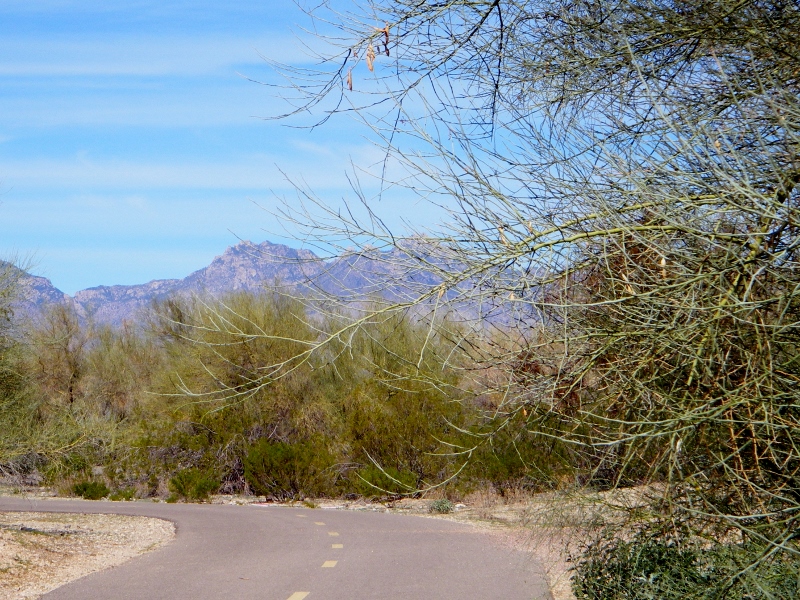
Bike path scenery -- so gorgeous!
Today I rode my mountain bike. She looks right at home out here! 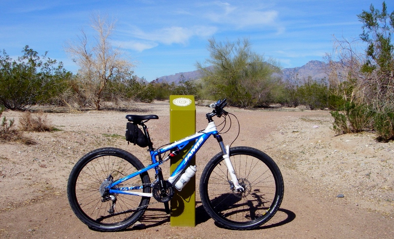
As I turned back on the residential road on the northern terminus of the trail, I noticed this adorable group of Gambel's Quail by the side of the road so had to stop to take a photo. My little camera only has a 3x zoom, so it's not great, but you should be able to make them out at the bottom of the photo. 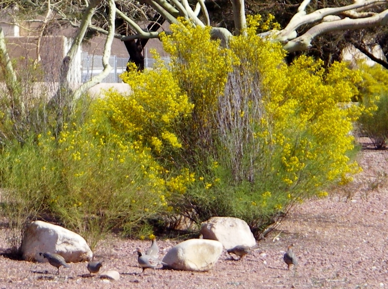
Gambel's Quail are very common here -- we've seen many. Cute birds!
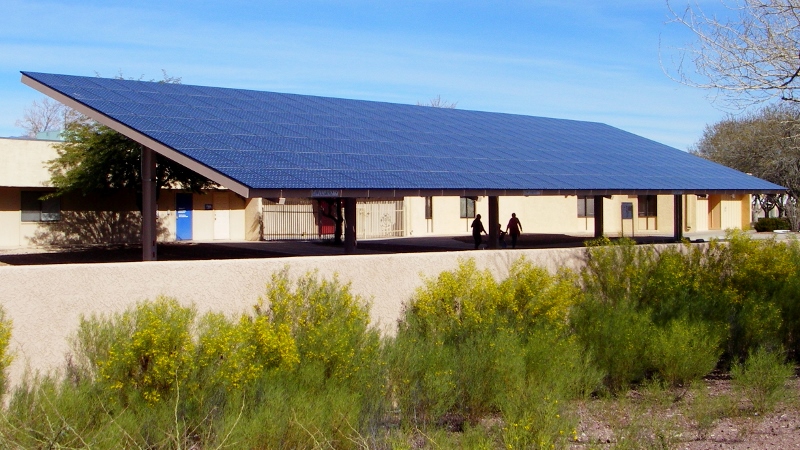
While I was stopped taking the quails' photo, I noticed that the school right next to me had a couple of gorgeous arrays of solar panels. The southwest, with its abundant sunshine, is certainly the place for these. Bet they were churning out some power today! 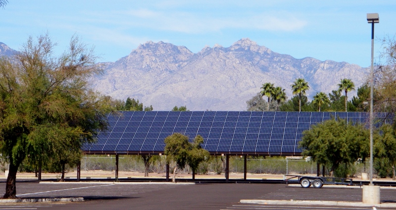
The last bit of the loop took me on busy Pantano Road, which fortunately has a bike lane but is not a good place for picture taking. You have to be on your toes! But I made it back just fine. An enjoyable 18-mile solo ride on a beautiful Saturday.
0 Comments
Leave a Reply. |
Emily & BarryWe're a long-married, early-retired couple who are currently traveling as nomads with no fixed home base. After years of living in North Carolina (Emily's home state), we spent 18 months living oceanfront on Ambergris Caye, Belize, a year road-tripping the US in a Honda CR-V, a year in Playa del Carmen, Mexico, and are now roaming North America in our 32' motorhome, Pearl, following warm weather whenever possible. 
Paisley, May 2016
States visited (pre-RV)
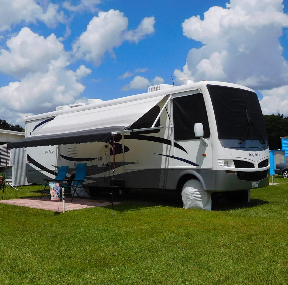
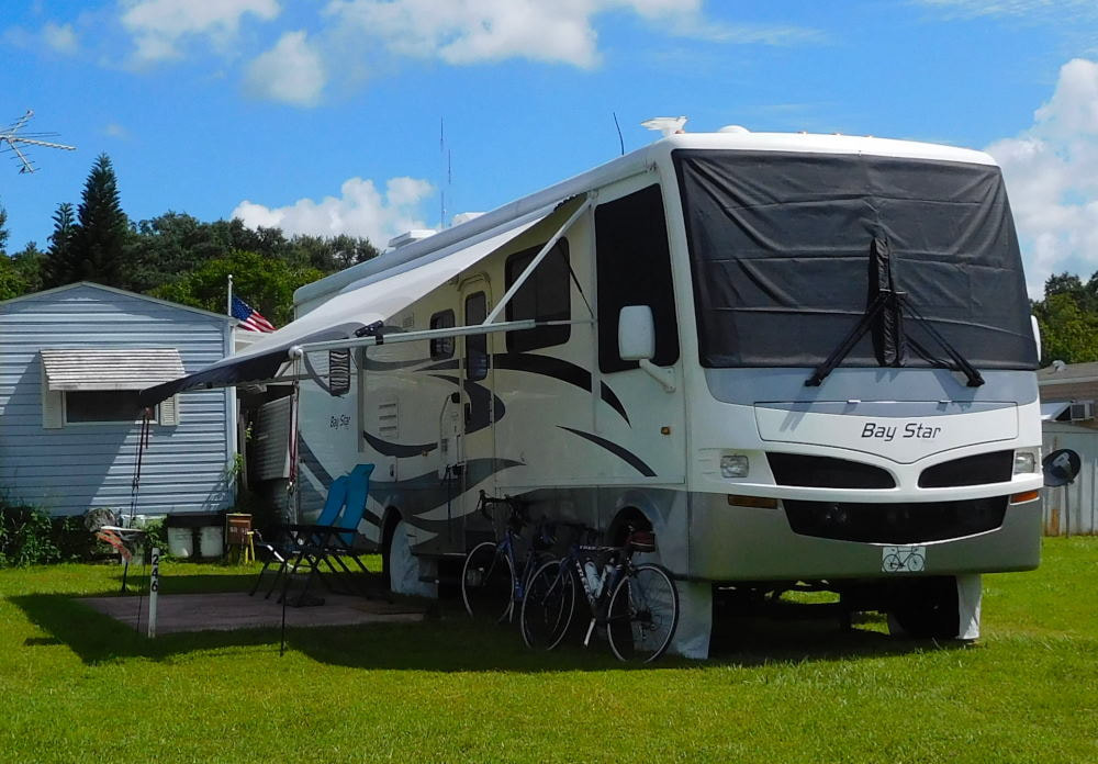
Pearl, a 2007 Newmar Bay Star
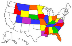
States visited in "Pearl"
Archives
July 2019
Favorite Travel Blogs |

 RSS Feed
