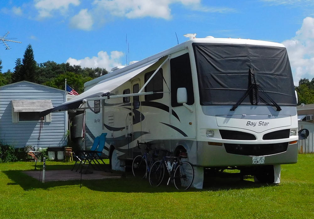
"Pearl" in Winter Garden, Florida
|
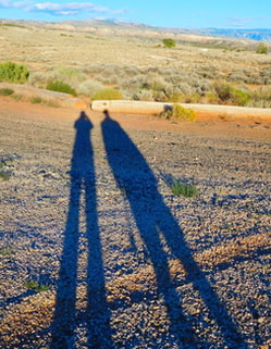
Long shadows in Wyoming
|
|
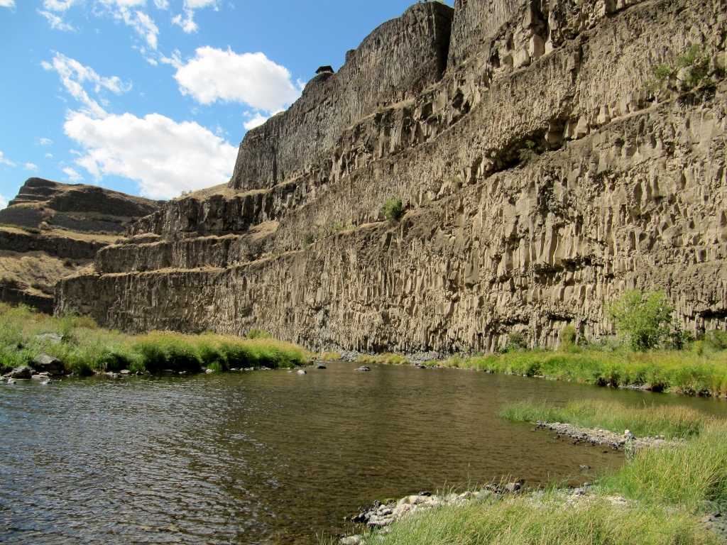
In Part 1, we visited beautiful Palouse Falls State Park, and Barry took a pretty amazing hike to get a closer look. After leaving the park in the afternoon and heading south, we were relieved to see all the smoke from the morning wildfire had cleared out, presenting us with perfectly clear views of the Snake River as we passed over for the second time of the day. It's really shockingly beautiful and so dramatic. 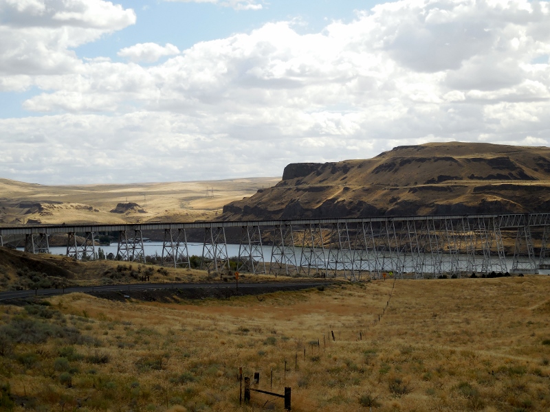
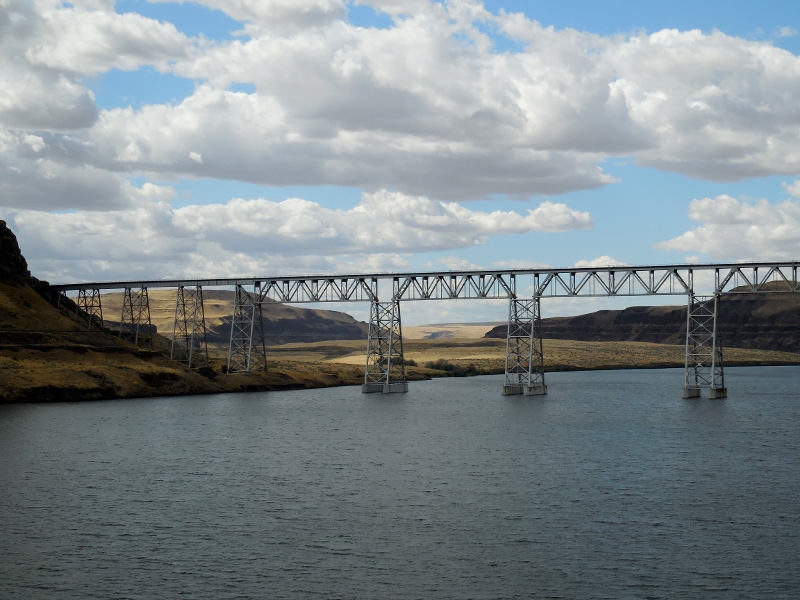
Snake River
Our drive back to Walla Walla took us through the charming small town of Dayton, WA with its beautifully restored historic downtown. We'd planned to stop for lunch, though this would be a late one: 3 pm by the time we actually ate. 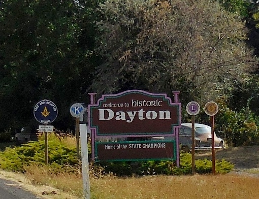
But first, we walked up and down Main Street, checking it out and researching the restaurant options. 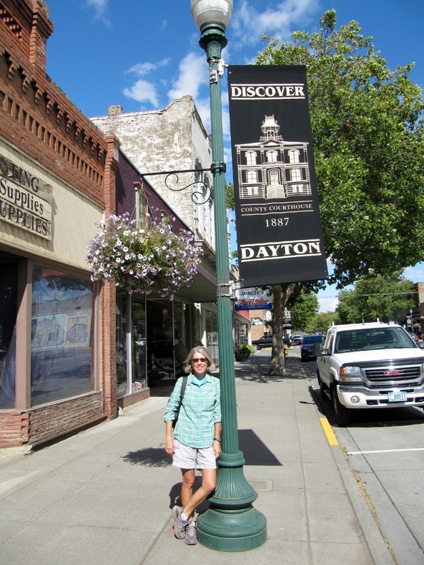
Here's the attractive Columbia County courthouse depicted in the Main Street flag above. 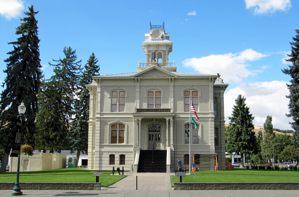
And a couple of nice murals. 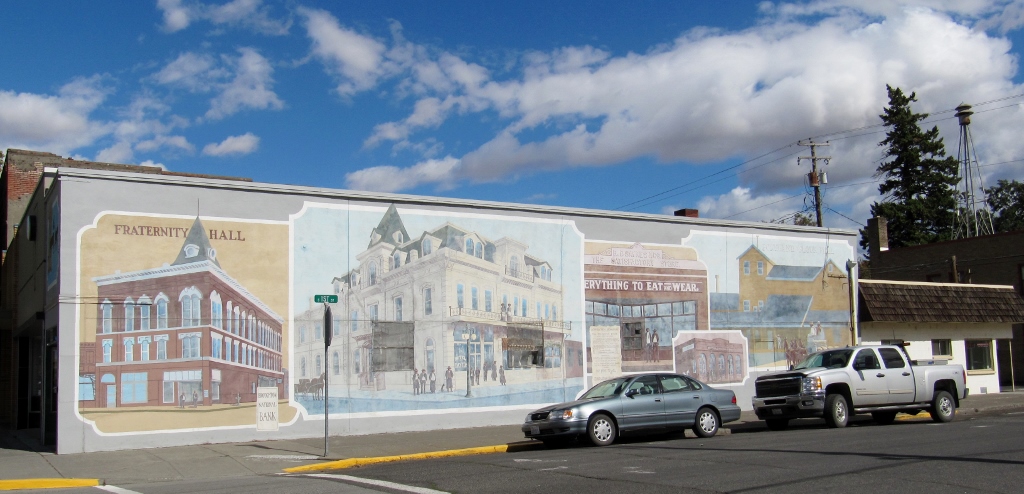
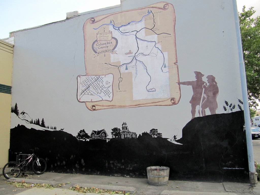
Dayton lies on the historic Lewis & Clark Trail
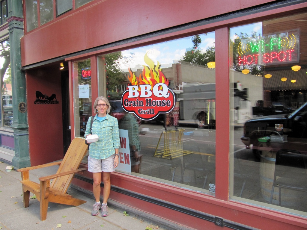
We decided to eat at the Grain House Grill, a barbeque place. We were really hungry by this time, and that sounded so good. I thought the name was a bit odd for a place that served so many carnivorous specialties, but realized that it must refer to the historic use of the building itself. It was charming inside, with exposed brick, lots of wood, and vintage-style lamp fixtures. 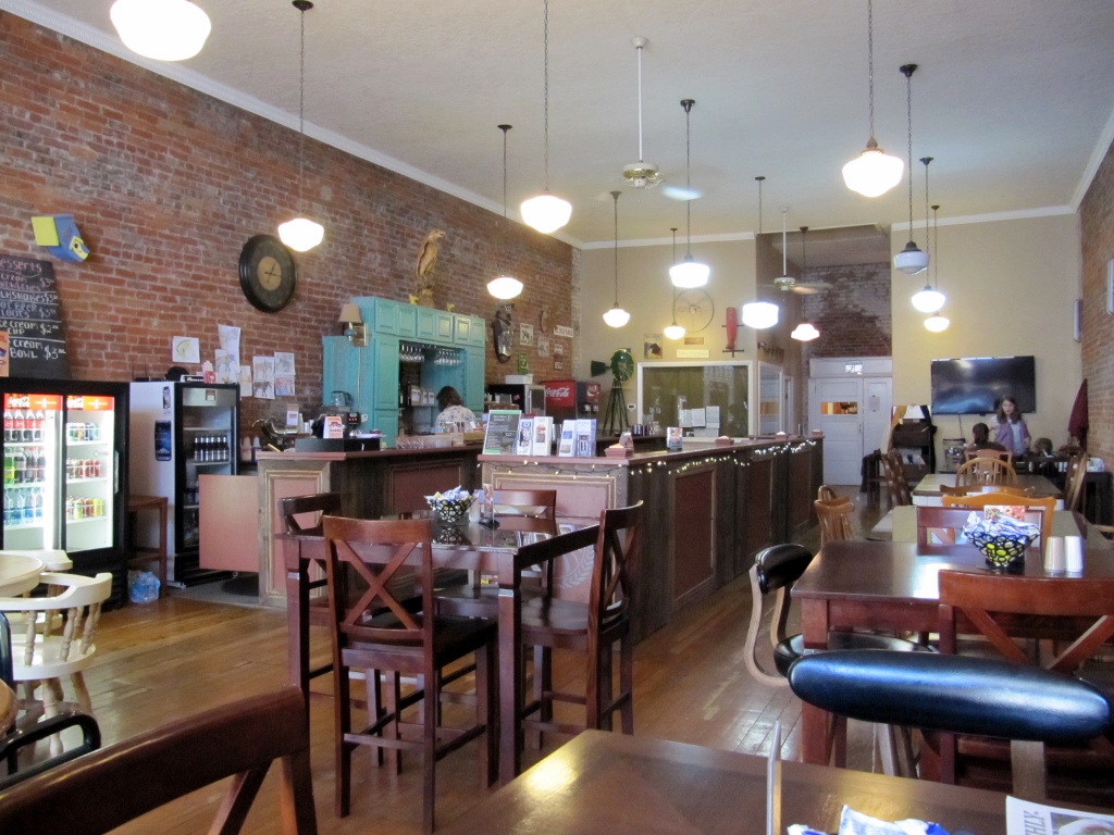
The pork BBQ was yummy, but we were surprised there was no extra sauce on the table -- very odd for a BBQ joint. And of course, no vinegar-based eastern North Carolina sauce would be in evidence here, even in the depths of the kitchen! But still, the pork was good as were the beans. Barry opted for a sandwich, while I went whole hog and ordered the platter. It was huge, so I took home a good portion of it for the next day's lunch. 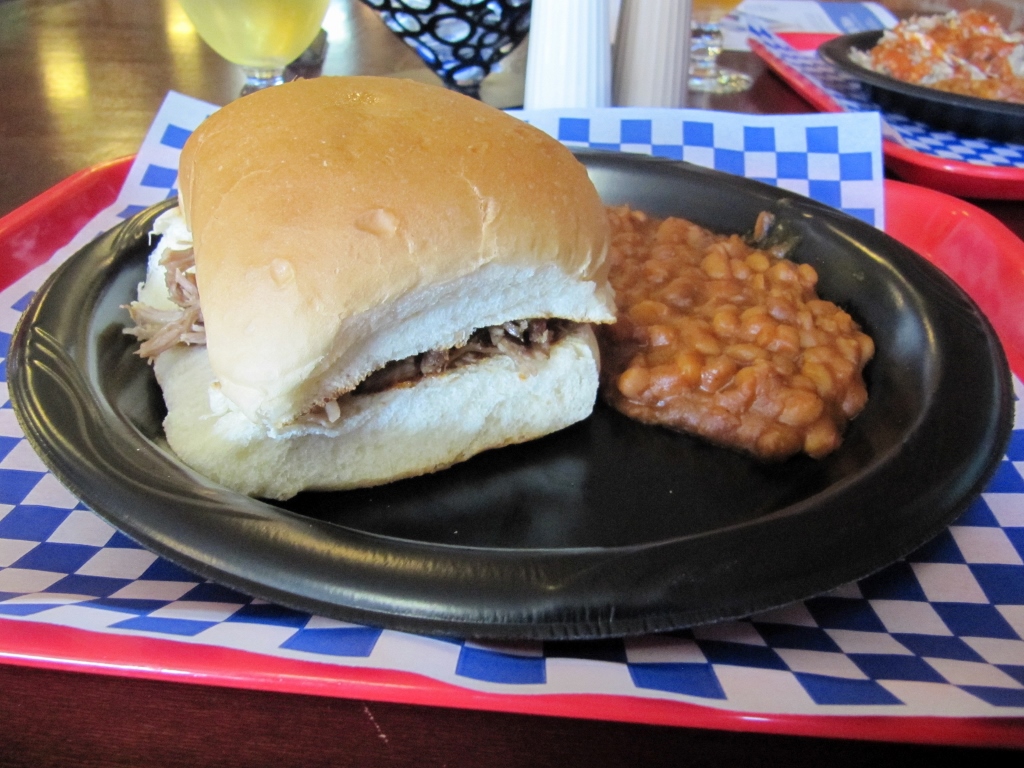
Barry's BBQ sandwich
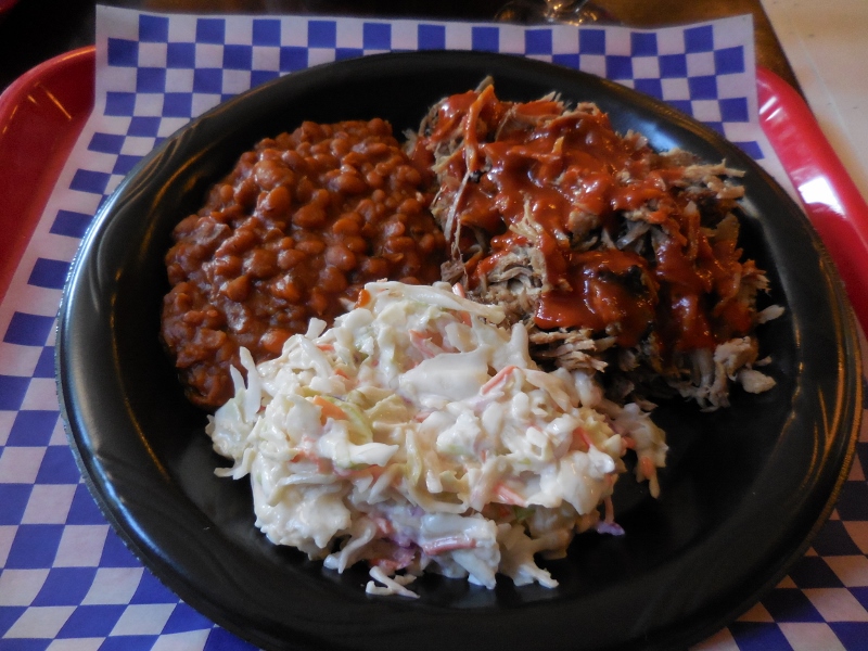
My huge BBQ platter
I think Barry ordered a "light" lunch because he'd previously spied this bakery up the street. So after lunch, we walked up there for dessert. 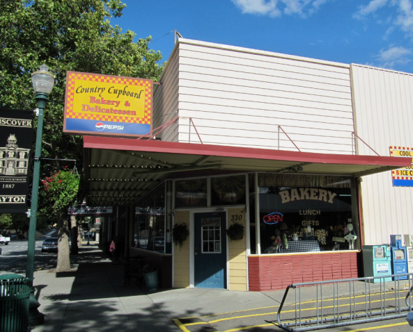
I was too full to eat another bite so ordered a couple of cookies to take back with me. 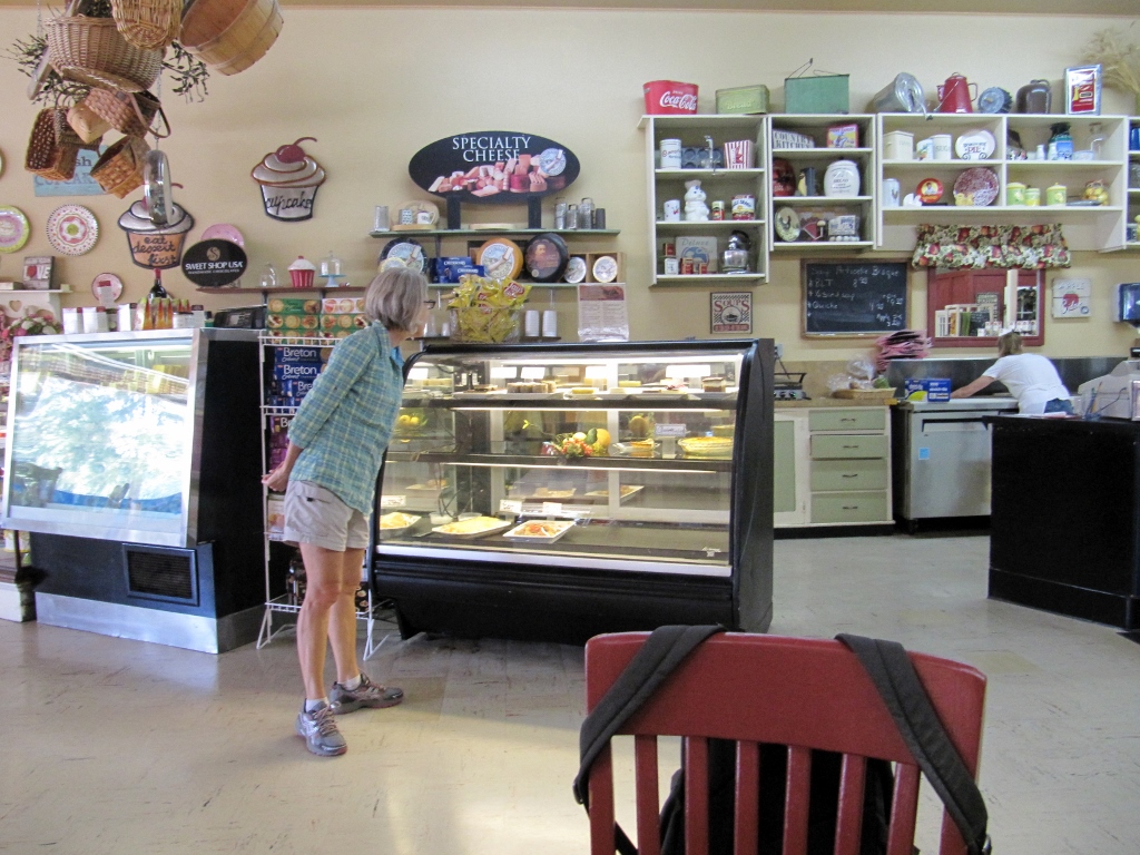
Lots of yummy looking choices
Barry, though, went for the chocolate mousse cake. After his hike, he totally deserved it! 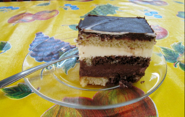
0 Comments
Time for another short road trip! This week on our day off from cycling we took a road trip north up to Palouse Falls State Park and spent a brief time in charming downtown Dayton on our way back. We were concerned on the way up when we saw this huge plume of smoke in the distance. 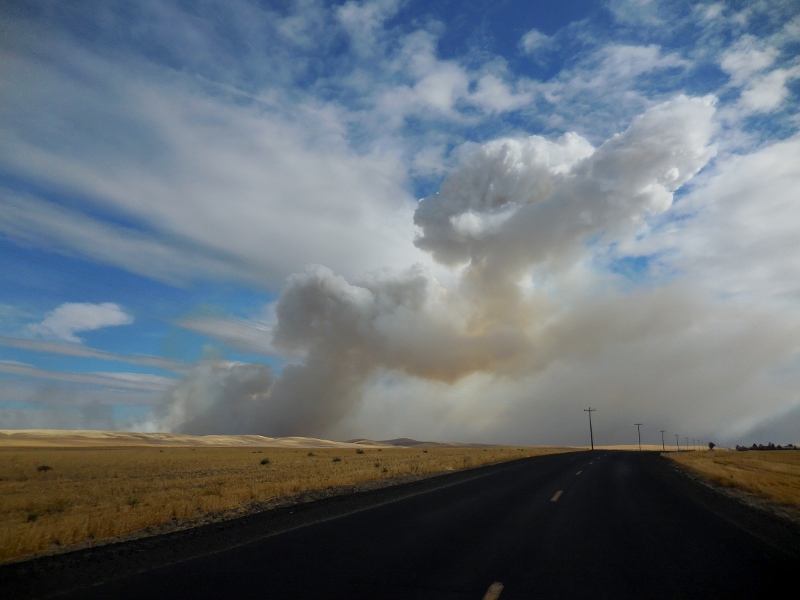
Where there's smoke, there's probably fire...
Not long after, we were smelling and driving through smoke and had very low visibility. We were afraid that we'd barely be able to see the falls, much less get any good photographs. Here was the hazy view greeting us at the Snake River bridge. Not good. 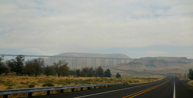
Luckily just a mile or two farther north we left all the smoke behind us. We did find out on the local news later that the smoke came from a rather large wildfire that broke out that morning. The fire fortunately occurred in a grassland with no population, but it did burn about 30 square miles before being contained. By the time we left the park in the afternoon, the smoke was gone. We arrived at the park in the late morning and were the only people there! That didn't last long, but it was nice for a short while anyway. 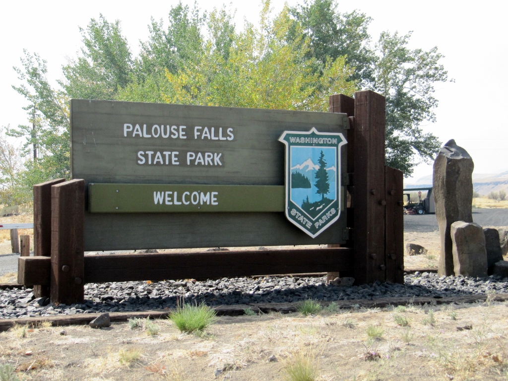
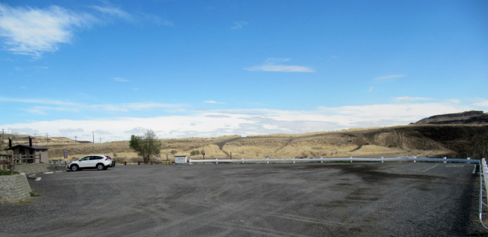
Our lone Honda CR-V
There's a $10 fee per car to park if you don't have a Washington State Discovery pass. We don't, so we paid up at the honor fee station. 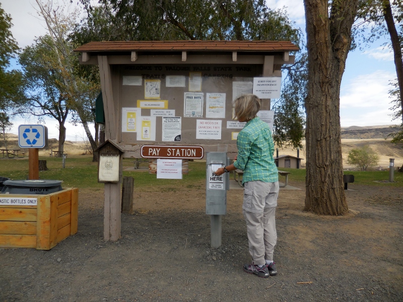
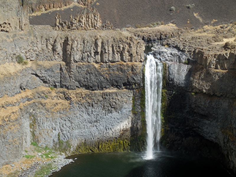
We didn't venture into the picnic and camping area, but there is a small area for primitive tent camping and one pit toilet. There are numerous picnic tables scattered around the park as well. Soon after arriving, we realized that the falls were very close at hand. We're used to parks where you have to hike a bit to see waterfalls hidden in the woods, so this was a bit different. We also quickly discovered that maybe the reason we were the first people at the park was because the light was not great for photographing the falls in the morning. Mid-afternoon looked to be the best time. So, it looked like we were in for a longer stay than I'd first anticipated if we hoped to get some decent shots. Shooting in this direction, the photos were a little washed out at this time of day. No worries -- they get better, but I figured I better give you an early preview of the 200' falls. After all, that is the main attraction here! 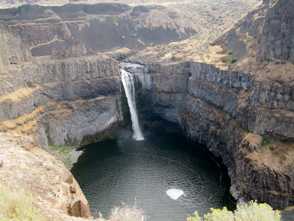
Palouse Falls in the morning
This information board explained how the dramatic landscape here was carved by huge floods at the end of the last Ice Age. 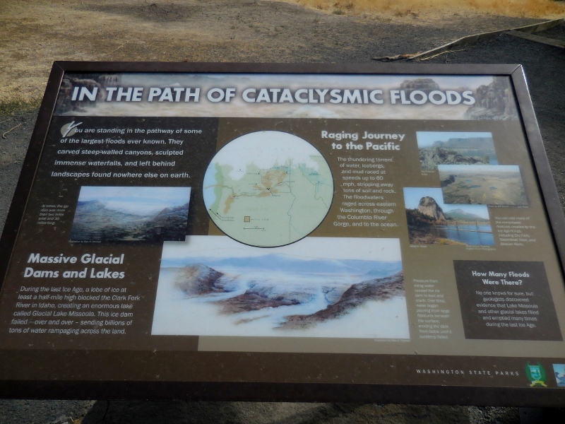
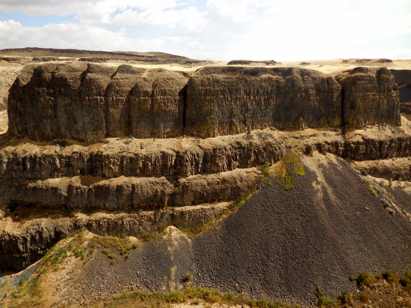
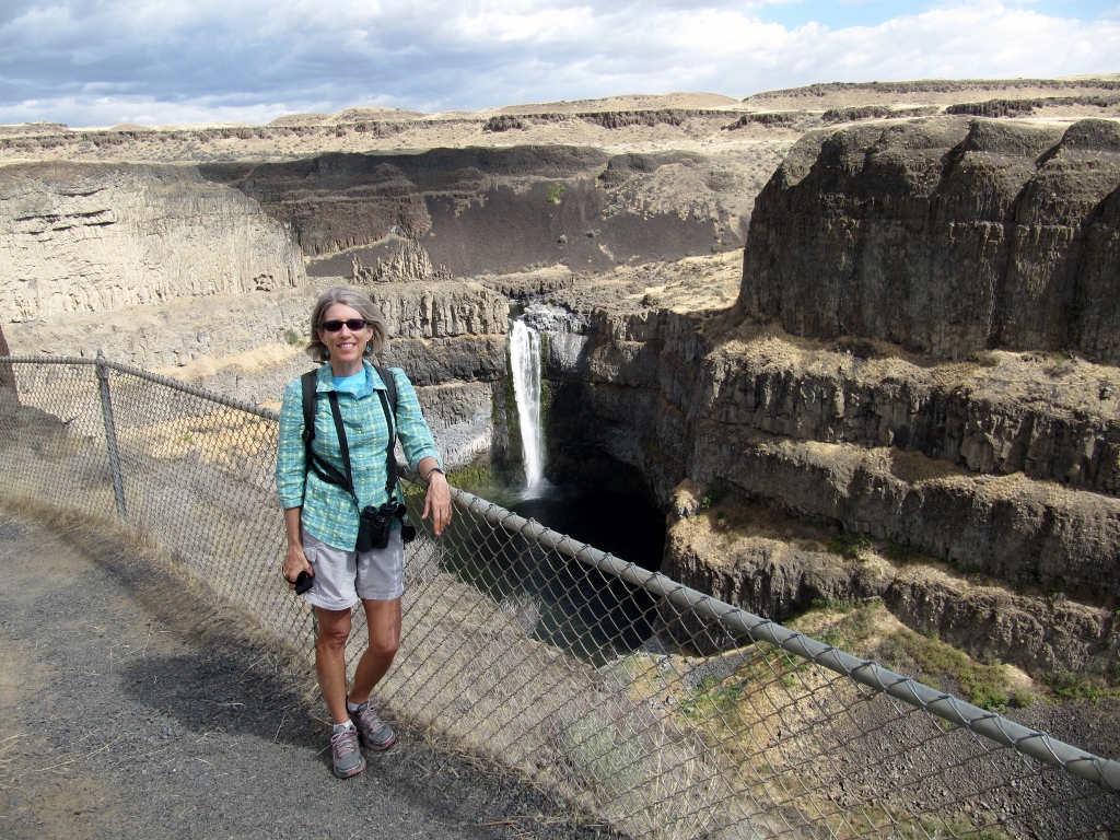
We hiked around on some of the shorter trails near the falls. My only complaint about this park is that none of the trails were marked or rated. It's always nice to know how long and how difficult a trail is. In addition to wider trails that were obviously "park trails" (even though unmarked), we could see where other, narrow trails criss-crossed down into the canyon and closer to the falls. We weren't sure if they were legitimate park trails or just "rogue" trails that determined folks had blazed. We still don't know for sure. The views and sights were pretty anywhere you looked, though. 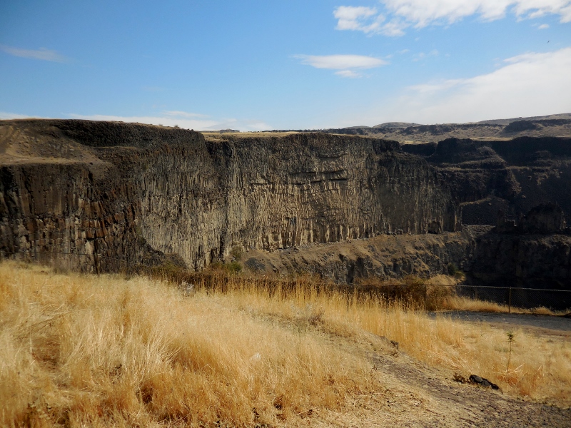
This photo turned out nice even though the the falls were still partially shaded. 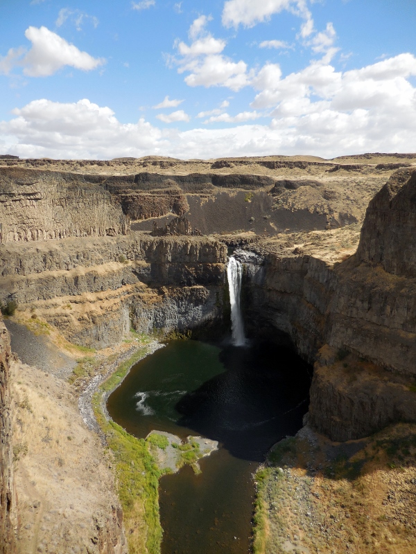
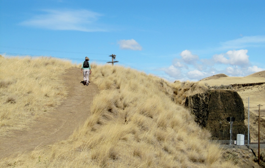
Barry, never one to content himself with a short walk around a park, decided to investigate a trail we found at the west end of the park trail. This is one of those trails we weren't sure was "official" or "rogue" as there were no markings, but we could see that it descended rather sharply down talus into the canyon and appeared to eventually wind around to the falls. Our hiking poles were in the car, and he'd worn his hiking boots, so of course he couldn't resist giving it a try. I decided to pass and take photos from above; after all, this was supposed to be our "rest" day! Here he is, starting down the trail. You'll have to look closely to see his tiny figure in the upper right of this photo. And the all-talus (loose rock) trail dropping steeply down in front of him. Yes, he's an adventurer! 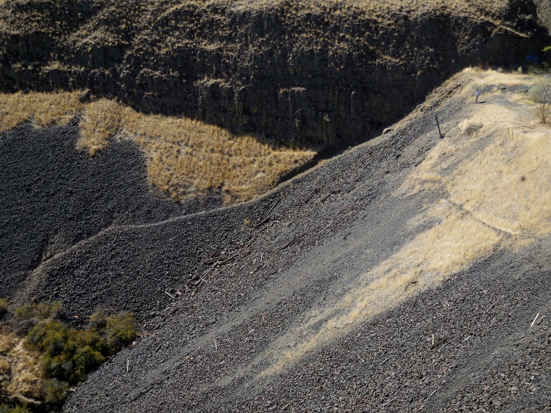
It actually worked out well that I stayed up top so I could take photos of his efforts. I'd brought my binoculars in case of interesting birds (which I didn't see), but turned out they were great for Barry sightings as well. I ended up getting plenty of exercise as I walked back and forth, back and forth looking for him on the trail and taking photos, up and down a hill over and over. My shins were sore the next day! Here's more of his hike as seen from above. Zooming in... 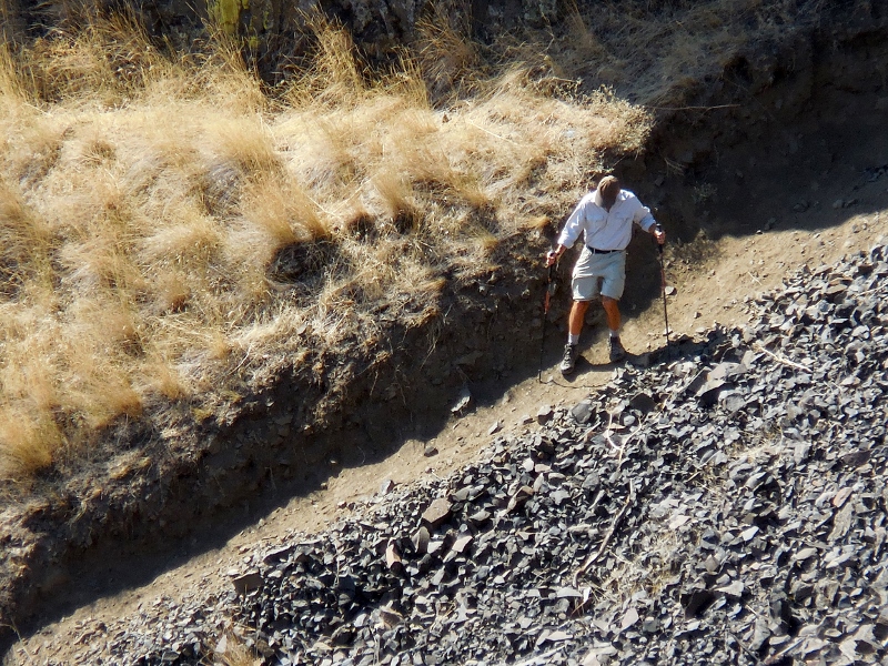
And back out a bit... 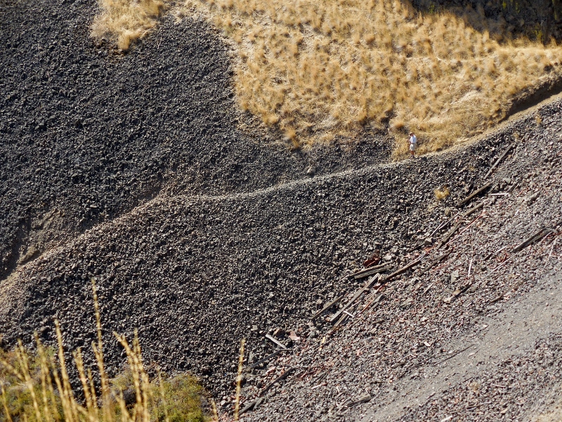
Now's he made it down the rock and onto a flat, grassy area. He's right in the center of this photo. 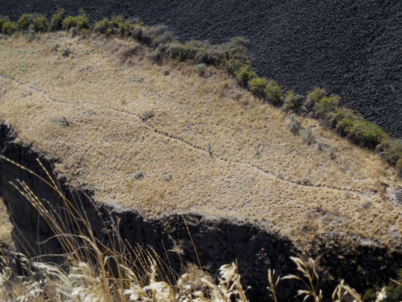
He made it to the foliage down by the river! Can you see him among the greenery? 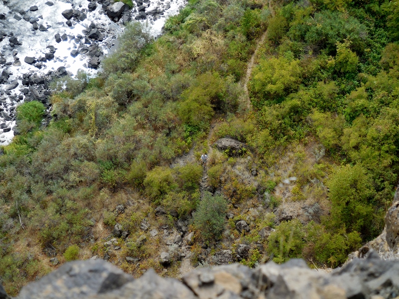
And finally to the little island near the falls! 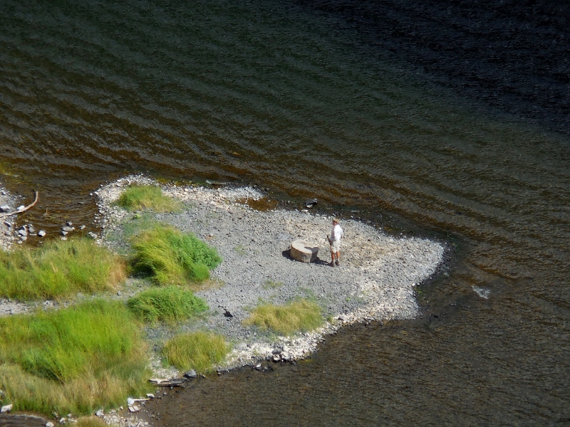
Looking at the big picture; can you see where Barry is on the little island? Impressive, right?! 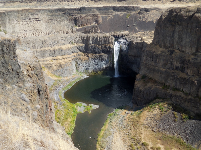
Here are a few shots he took while on the trail. 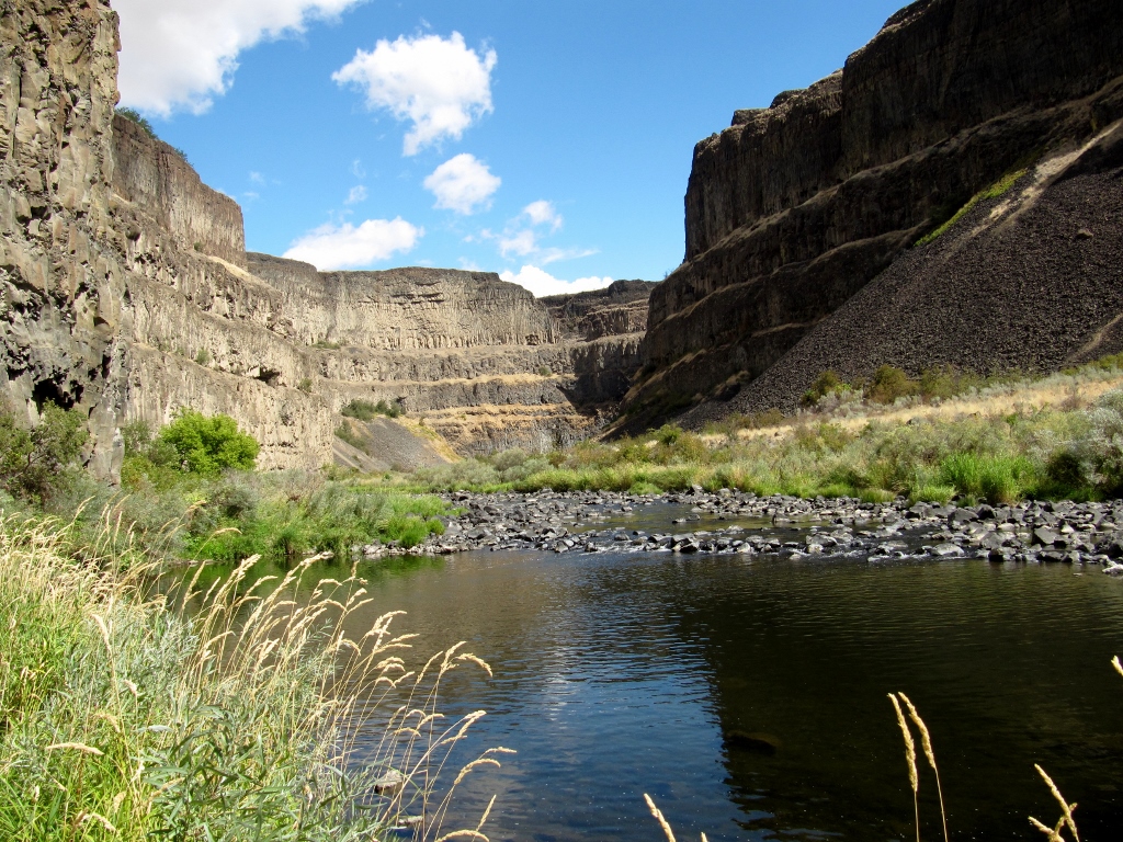
Uhhhh....don't think this trail gets a lot of use! 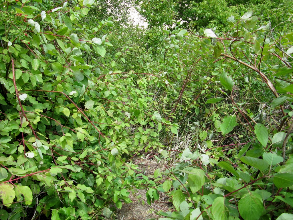
This looks like some pretty tough hiking conditions. One slip and you're in the drink! 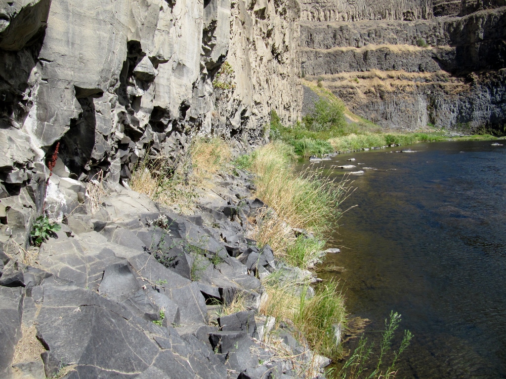
Peek-a-boo waterfall view! 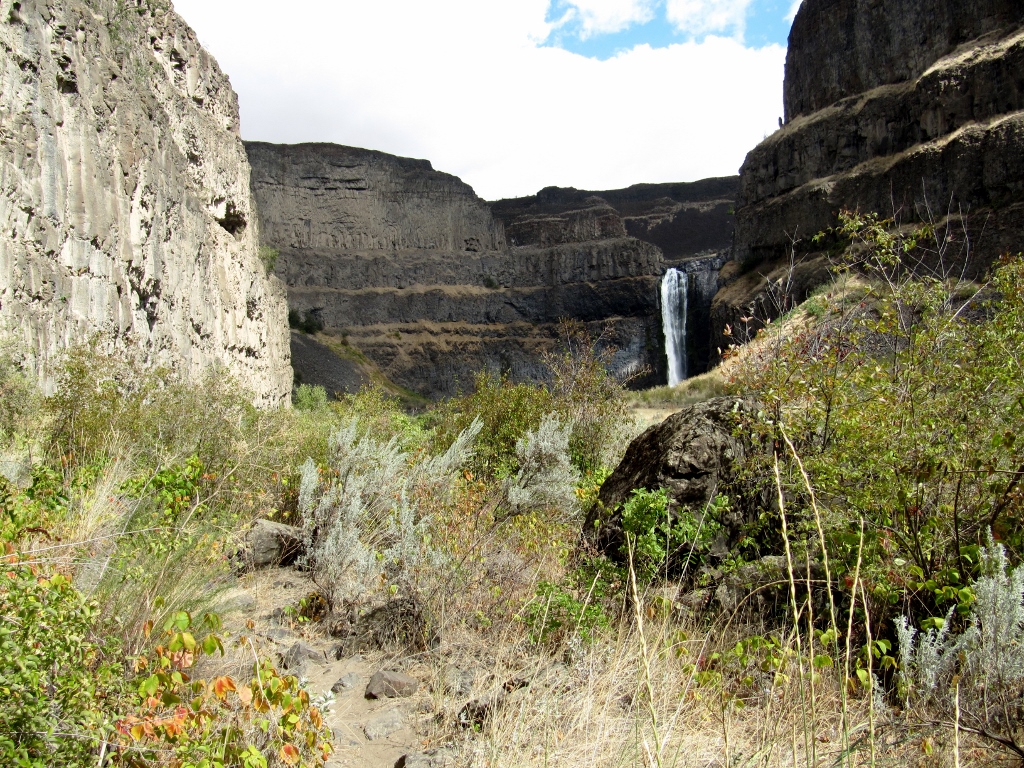
And he's there! 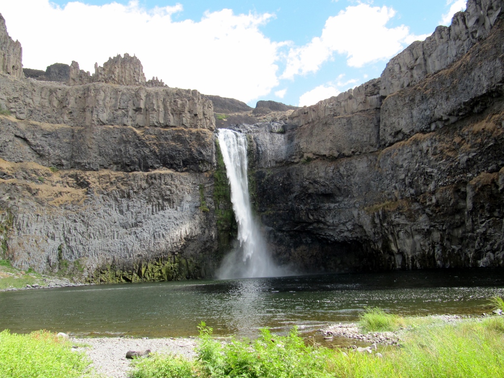
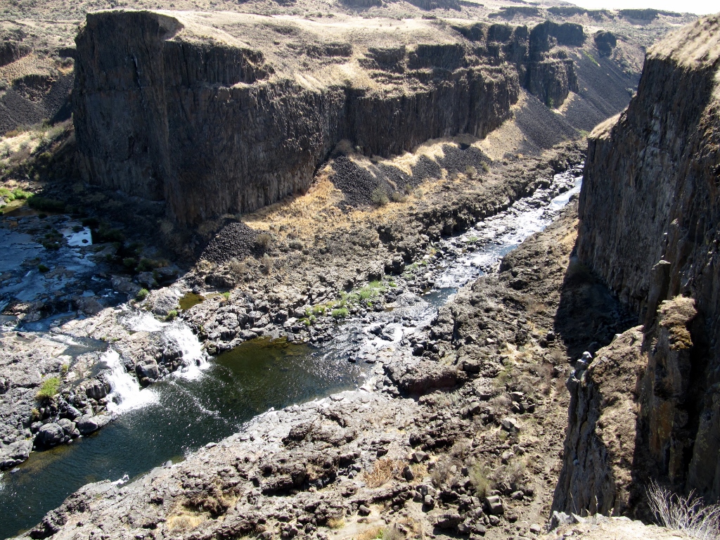
He was able to walk a bit further for a good view of the side of the falls. 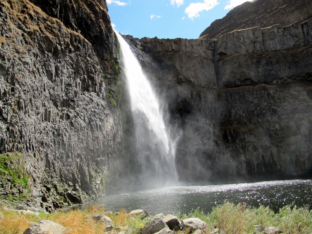
Trail conditions were awfully rough. This was not a long hike, but it took him a fairly long time because of the need to walk so carefully. Fortunately, he did great, with no injuries. 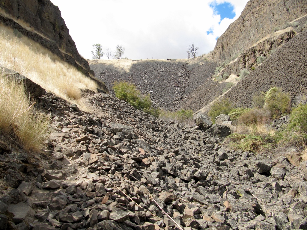
Not very comfy underfoot, I'm sure
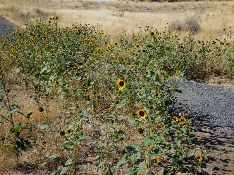
Back to my photos, the sky was getting very dark towards the east, but it never rained where we were. Check out the start of fall color up here! 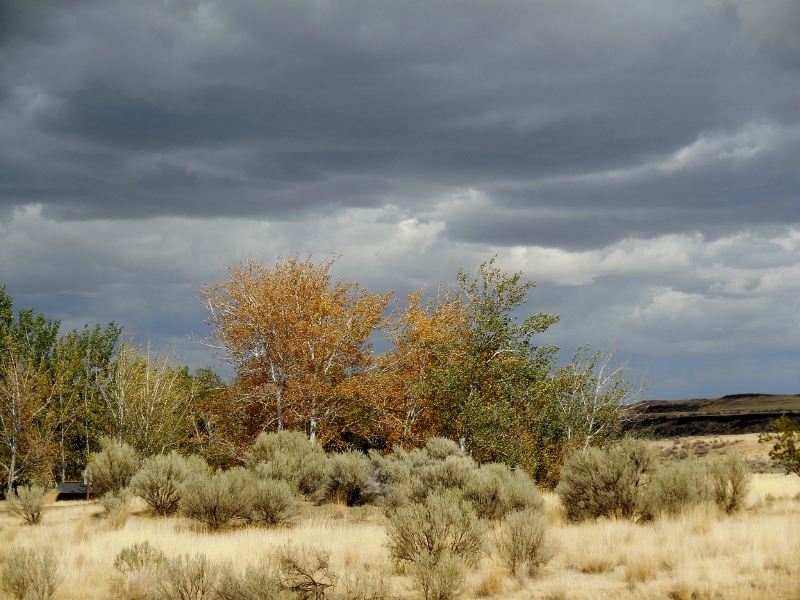
Barry's on his way up -- once again a tiny figure in the middle of the photo. 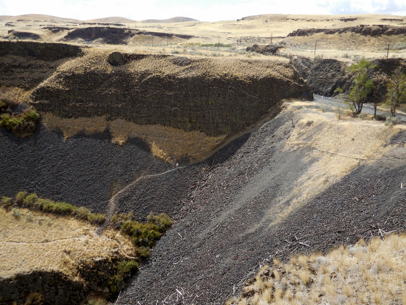
A freight train rumbled by at the top of the trail while he was climbing. 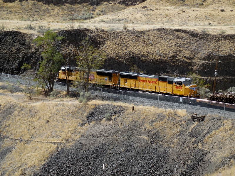
And he made it! 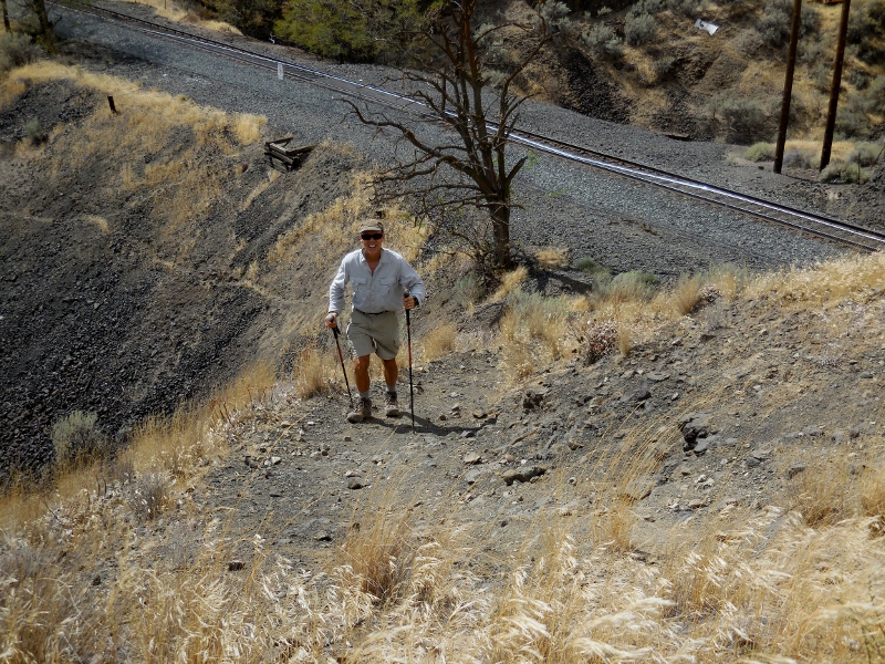
Once he was up, the light was better for a few more photos, so we snapped away before leaving the park. 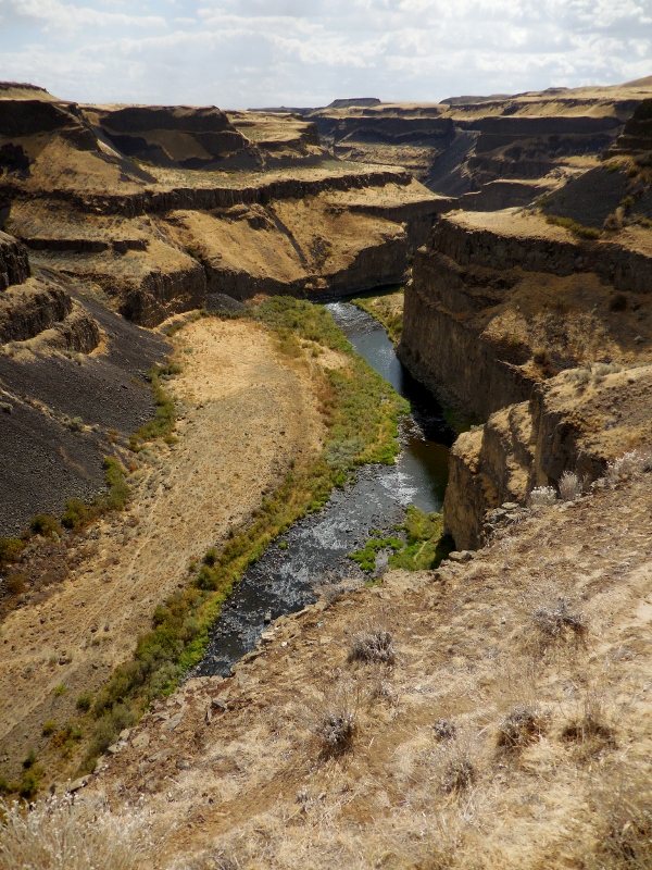
This formation to the left of the falls is aptly named "Castle Rock". Reminds me of the castle at Disneyworld! 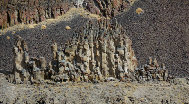
Castle Rock
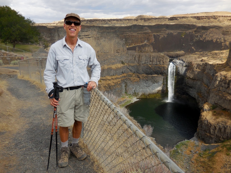
The intrepid hiker!
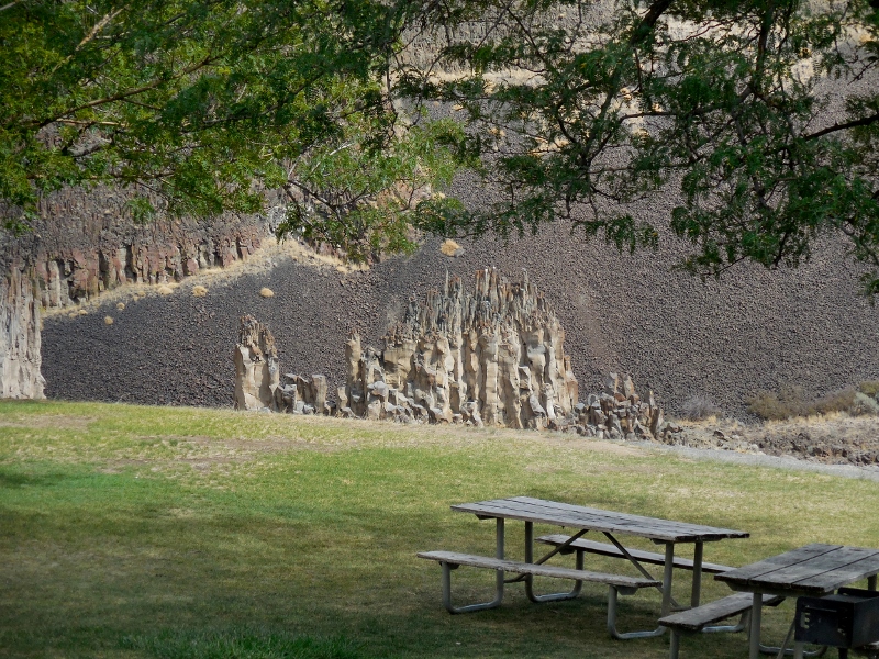
Nice view of Castle Rock beyond a picnic area
A final long view with afternoon sun... 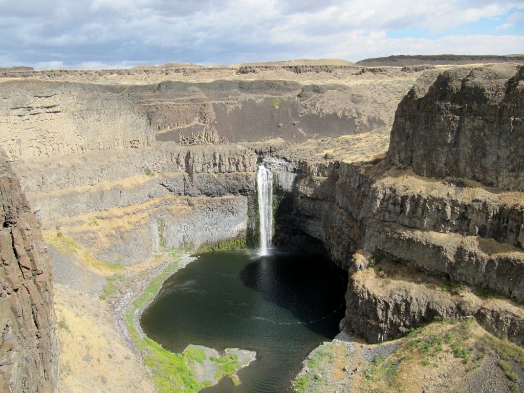
Stay tuned for Part 2 as we head down to Dayton for a look around!
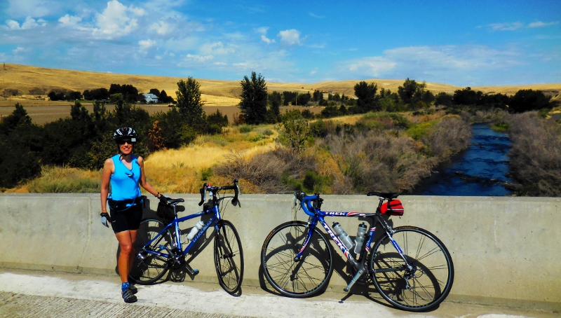
While in the Walla Walla area this summer, we've been doing a ton of road riding, as you know if you read this blog regularly. Most of our rides have stayed in the Walla Walla valley south of Highway 12, with occasional jaunts farther south into the hills beyond Milton-Freewater, Oregon. Recently we've explored a few new roads (to us) north of Highway 12. These are hillier routes but also have almost zero traffic since there's just nothing up there except a few farms and large tracts of land. The first "northern" route we tried was Touchet North Road. We'd ridden to Touchet, a tiny little town west of Walla Walla, numerous times (blog post on this route here) but never north of town. For this ride we simply continued north after stopping at the little convenience store for a rest room break. Here's a map of our approximate route (blue line). We started in College Place and headed west to Touchet, which is right where the blue line crosses highway 12. The new part of our route continued due north of 12. 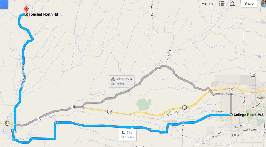
College Place to Touchet North Road
This was an absolutely gorgeous ride. Although there were a few rolling climbs, they weren't too terrible and were totally worth it for the scenery and beautiful shades of greens, golds, and blue sky. 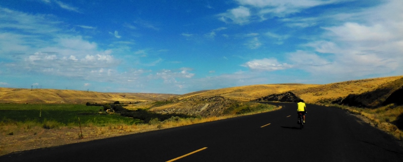
We crossed the historic Johnson Bridge. 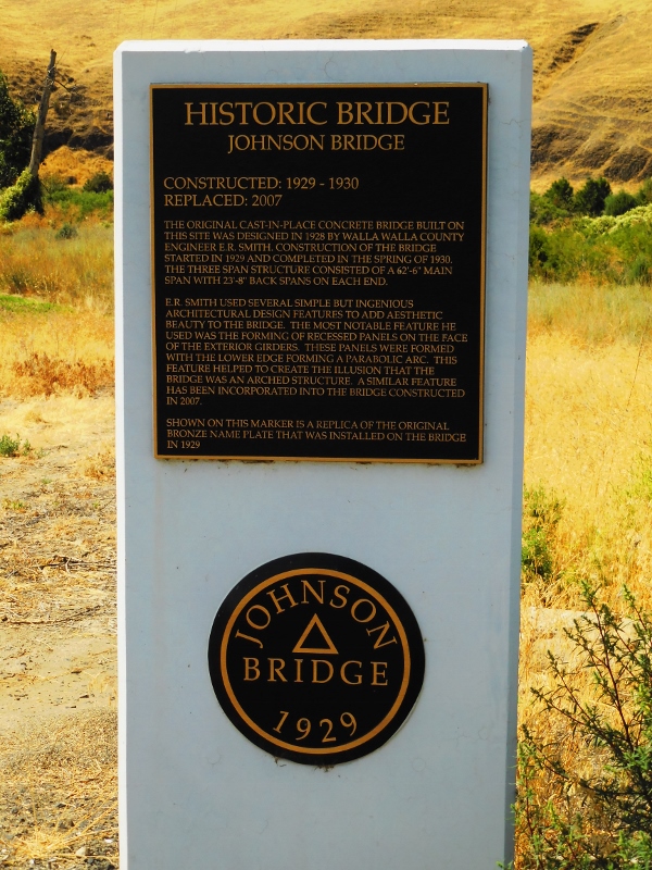
Here's the rebuilt bridge, all spiffy and freshly painted. 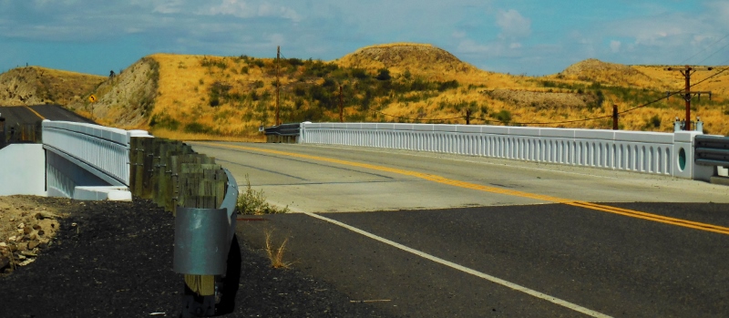
And here's what you see looking down from the bridge -- the Touchet River. Lovely! 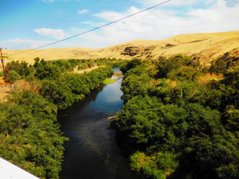
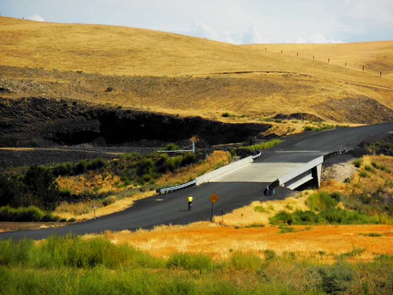
Here's a non-historic bridge just off the Touchet North Road where we took a short break before turning around, about 10 miles north of Touchet. 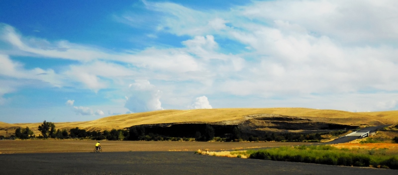
There's another nice view of the Touchet River from this bridge. 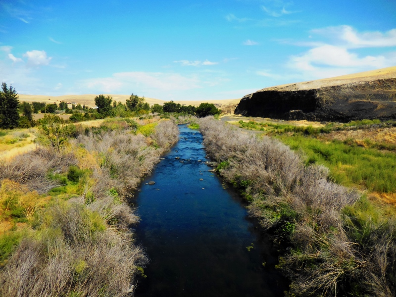
And this charming farm in the distance. 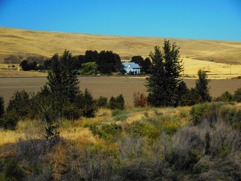
On the way back to Touchet, we split up since Barry was riding faster than me. He missed out seeing this Kingfisher on a wire, looking down at the water for fish. 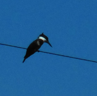
Another day a couple of weeks later, we decided to try heading north of Highway 12 again, this time from the tiny town of Lowden. Here's a map of our route from College Place, heading west to Lowden (designated by "L'Ecole No. 41" on map), then northeast into the hills, south to Walla Walla, and west to return to College Place. 
College Place to Lowden and beyond
There's not much in Lowden, not even a convenience store. But there are two wineries. This one, L'Ecole No. 41, is in an old schoolhouse that has been beautifully preserved. Since we had no capacity to carry wine with us on our road bikes (and certainly didn't want to take on any extra weight), we had to give it a miss this time...darn! 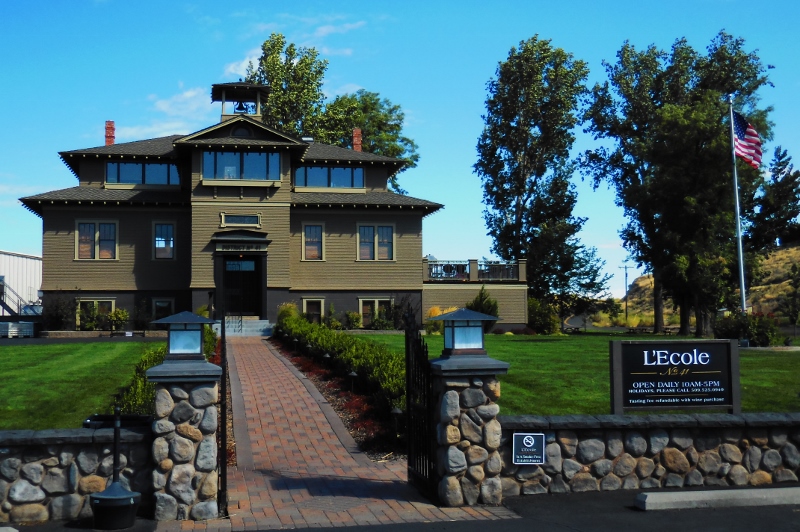
L'Ecole No. 41
Passing the winery and heading northeast, we began a gradually uphill grind that was fortunately not too steep. We were lucky at this point in the ride to have a strong tailwind as we'd fought a stiff southwest breeze when riding west. The terrain and scenery was similar to the Touchet North ride, with a few farms dotting the otherwise empty land. We went miles and miles without seeing a car. Nice! 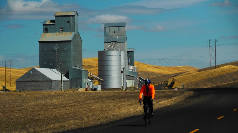
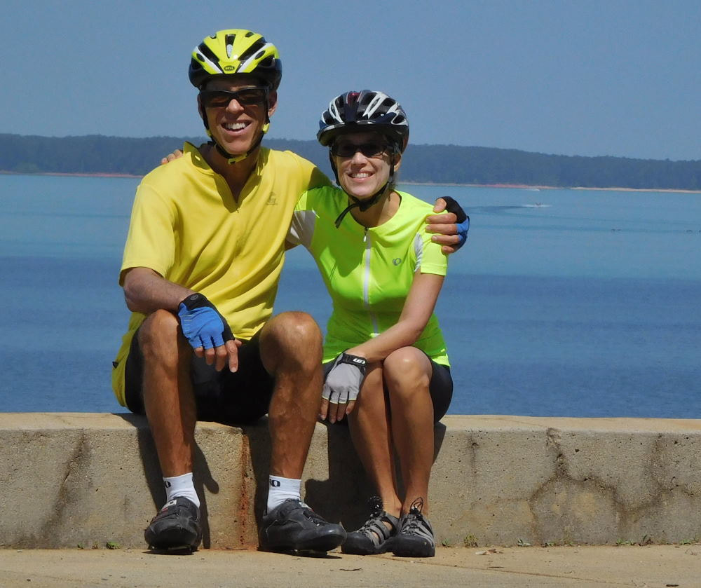
Barry would hit mile 10,000 for the year 2014 on this ride. He's a machine! 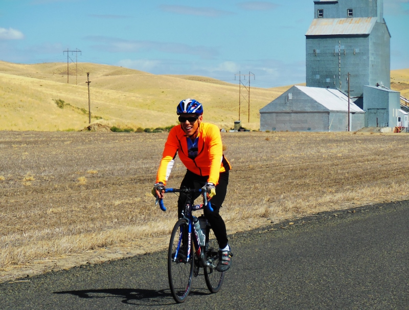
My 10,000 mile man!
Looking south and east, the Blue Mountains in the distance were lovely -- not to mention this impossibly blue sky filled with white puffy clouds. 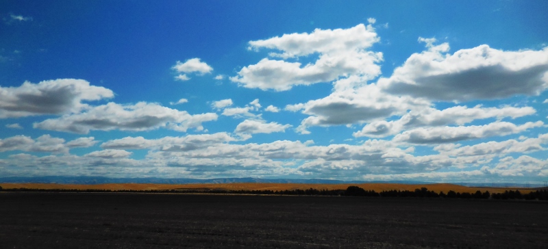
Zooming in a bit...so beautiful. You can see how they got their name "Blue Mountains". 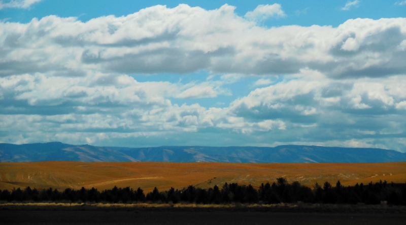
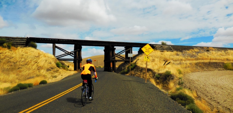
We took one rural road after another, still heading generally northeast, before making a right turn to begin heading south to Walla Walla on Lower Waitsburg Road. Although we thought it was going to be all downhill after the climbing we'd already done, in reality Lower Waitsburg was very rolling, with the toughest climbs we'd done all day. With the wind now back in our faces, this was a difficult stretch. We did like the "Bikes on Road" signage, however. This is a popular road for Walla Walla cyclists, though our first time riding it since we've been staying farther south and west in College Place. 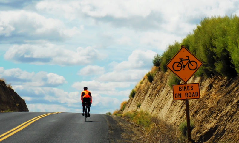
Climbing on Lower Waitsburg Road
Between the hills and wind, I was getting really tired by this point in the ride (approximately 40 miles in). Barry was sweet enough to stay with me and let me draft off him to help me get through it. Fortunately, once we got back to Highway 12 and crossed it heading south, things got a lot easier. There are many more trees and buildings in town that help block the wind, so it doesn't build up such a velocity as out in the farmlands and plains. Right after crossing Highway 12, I stopped to take a short break by the side of the road and found this sign. We knew that Walla Walla had received this honor, and after staying in this area for two months, we can agree with it -- this is a very friendly city. And we love that! 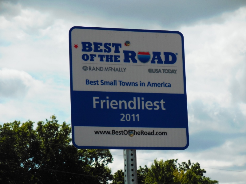
We'd hoped to stop in at Grandma's Kitchen for lunch as we headed through downtown Walla Walla but found it closed on Sundays. So instead, we headed over to the Cenex gas station just west of downtown. A Cenex? Let me explain: our farmer friend Jennifer had told us that on Sunday mornings only, a chef there makes wonderful beignets. Unfortunately, we were too late for those as it was lunchtime by now, but I did nab this delicious homemade pastry that I presented to Barry in honor of his 10K mile achievement. Although I've never actually had a beignet, I don't think this is one, but it surely was good (yes, he shared a little!) 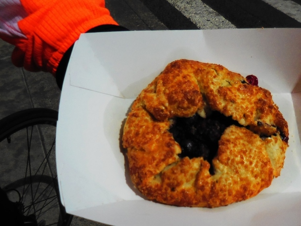
All in all, we decided that this ride was one of the most difficult ones we've done in this area, so we may or may not do it again, but it was definitely worth doing once. And if the wind had been lighter, it wouldn't have been quite so tough.
Seems that wind is going to be with us here most days until we leave here later this month; it's just a part of fall. And fall comes early here. It's just about time for these warm weather loving "birds" to start heading south, but we have a few more adventures left before we go, so please stay tuned! |
Emily & BarryWe're a long-married, early-retired couple who are currently traveling as nomads with no fixed home base. After years of living in North Carolina (Emily's home state), we spent 18 months living oceanfront on Ambergris Caye, Belize, a year road-tripping the US in a Honda CR-V, a year in Playa del Carmen, Mexico, and are now roaming North America in our 32' motorhome, Pearl, following warm weather whenever possible. 
Paisley, May 2016
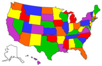
States visited (pre-RV)
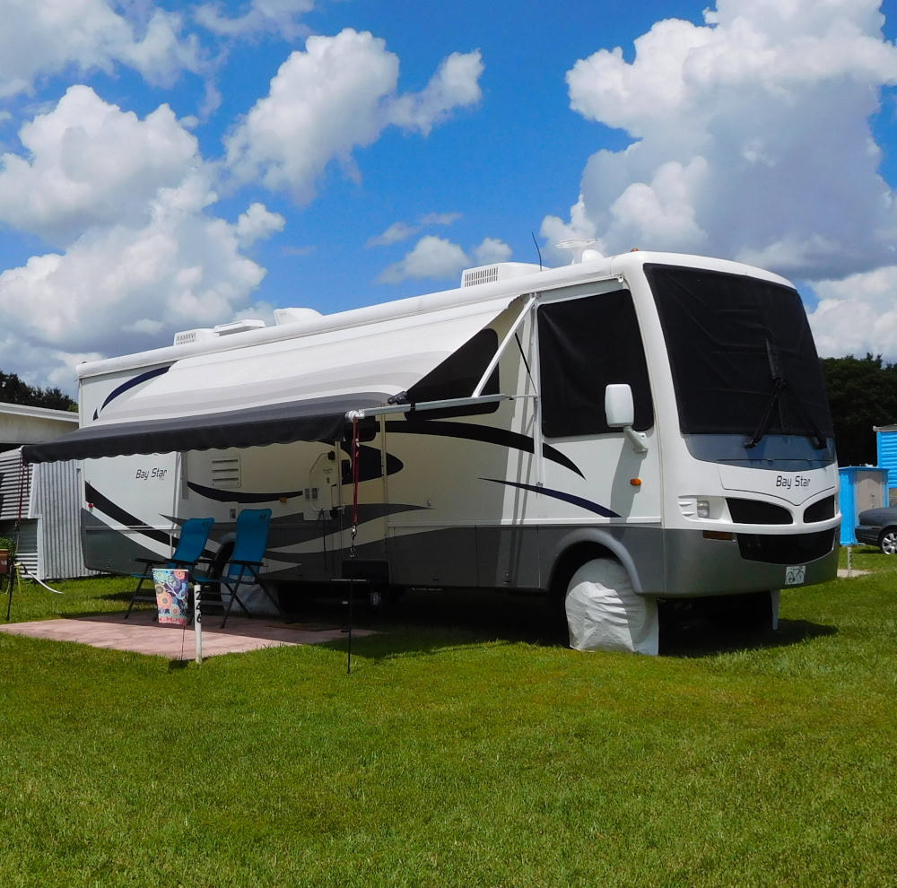
Pearl, a 2007 Newmar Bay Star
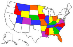
States visited in "Pearl"
Archives
July 2019
Favorite Travel Blogs |
 RSS Feed
