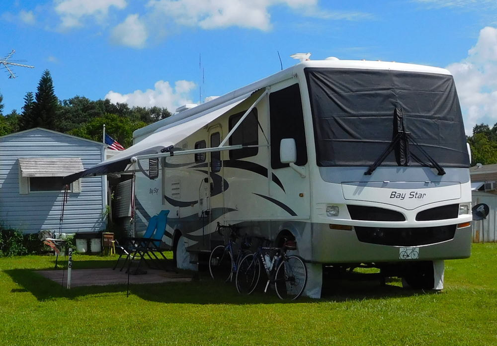
"Pearl" in Winter Garden, Florida
|
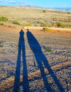
Long shadows in Wyoming
|
The picture-perfect weather continues here in Tucson, with temperatures taking a turn to the even warmer side this week. We're talking shorts weather! So, we are taking full advantage of our escape from winter by riding as often as we can. On Thursday we rode the Collossal Cave - Pistol Hill loop route, a favorite of Tucson cyclists. This ride on the east side of Tucson includes some amazing mountain views, not-too-terrible climbs, and a long, fun descent of Freeman Road near the end. Here's a map of the route as well as the out-and-back elevation profile. 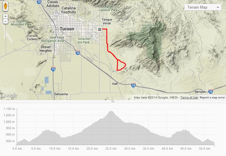
There are bike lanes pretty much the whole way, and we're able to ride over to the start from the condo where we're staying, since it's on the east side of the city. Did I mention it was a beautiful day for a ride? Temperatures were above normal for this time of year, and I believe this is the first day we started out without any extra clothing besides bike shorts and short-sleeved jerseys. 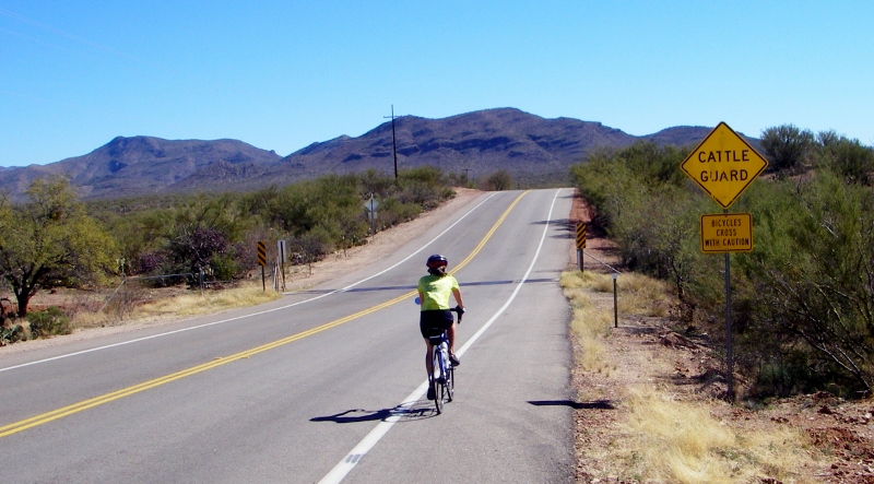
There is open-range cattle out here, but we've never seen any of them -- yet!
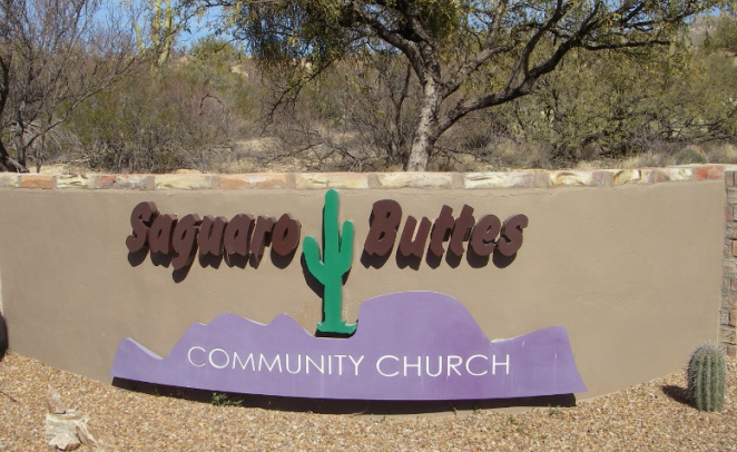
Funny church name!
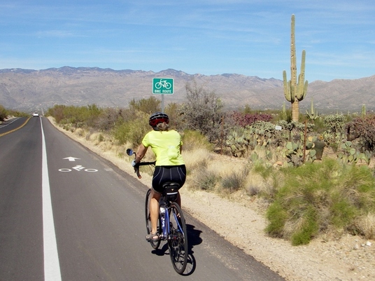
The route takes us right by Saguaro National Park East, which we plan to visit while we're here. The saguaro is the largest cactus in the US and just says "west" to me. I love these cacti, and love that they are protected in this national park. 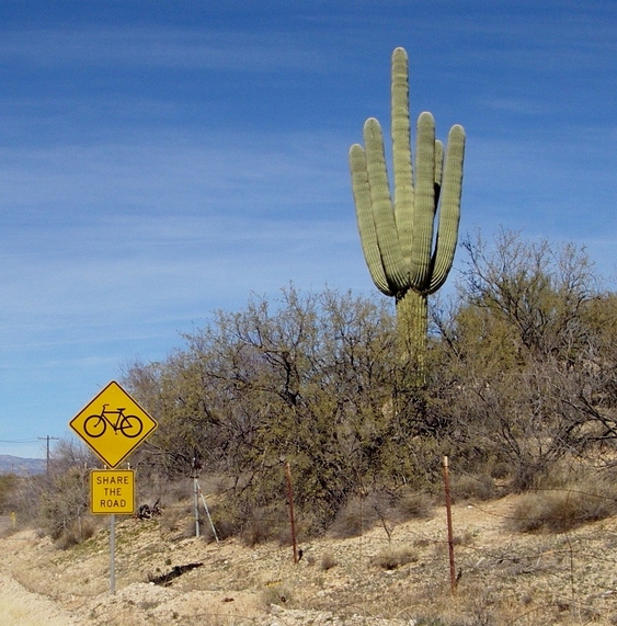
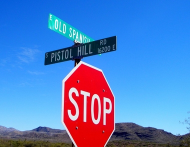
One of our favorite signs, seen frequently in Tucson, and a handsome saguaro cactus
Lots of gentle climbing on the way up towards Collosal cave -- nothing too taxing
At the end of Old Spanish Trail is the Colossal Cave Mountain park (and a fee station), but we didn't continue in. The road gets very steep beyond this sign, so I was happy to turn around -- but we still had the Pistol Hill climb ahead of us. 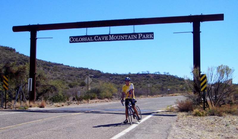
After a nice little descent, we took a left turn to start climbing Pistol Hill. I had been intimidated, but it really isn't bad at all; I just downshifted into my granny gear and spinned easy on up. 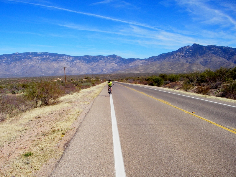
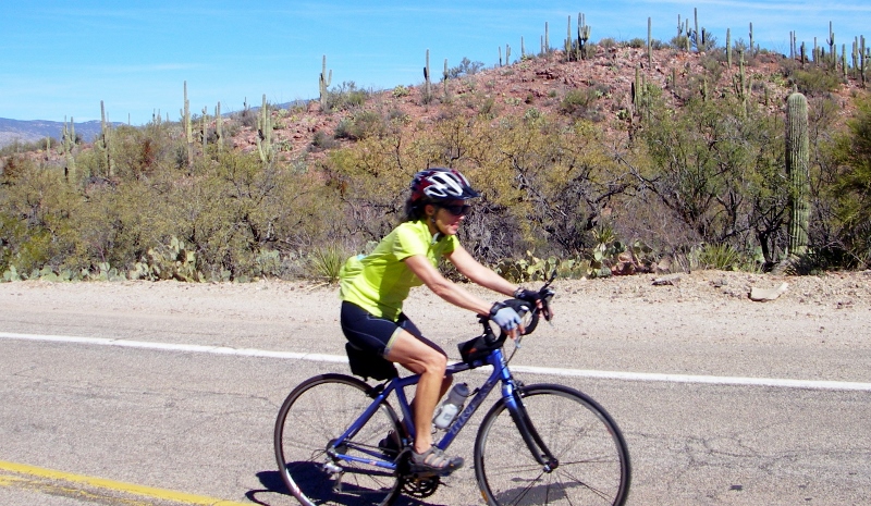
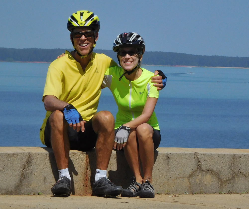
Barry beat me to the top and caught my picture coming up
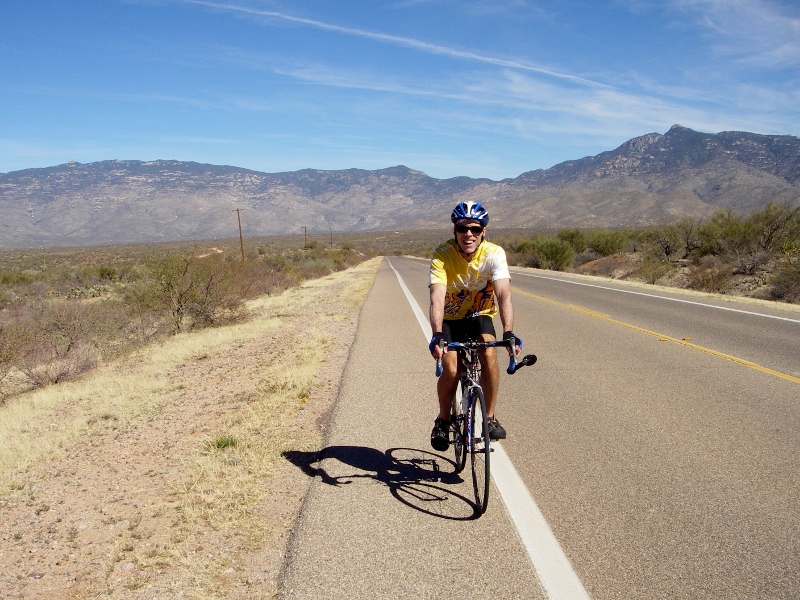
Had to get Barry's photo coming up too!
The view from the top was killer, but a photo just can't do it justice. And the hill looks totally flat here. Trust me, it's not. 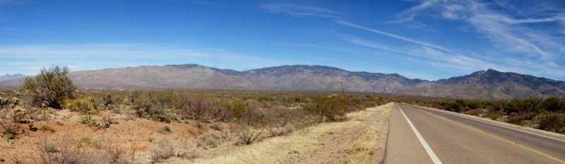
Once you reach the top of Pistol Hill, your reward awaits: miles of gentle descent. This is why we ride, folks. Oh, and for the post-ride goodies, of course! Here I am signaling to take a quick granola bar and water stop on the way back. 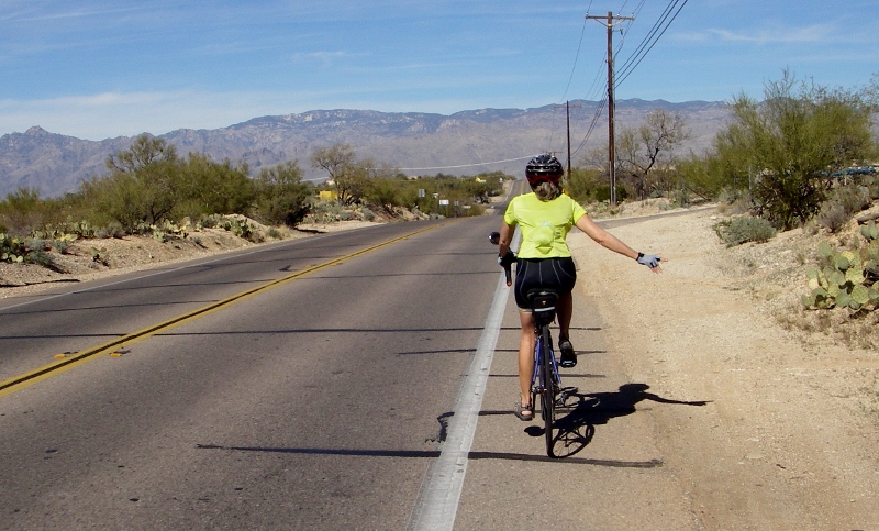
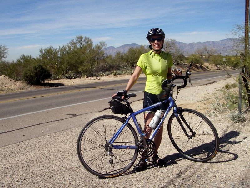
At the rest stop
After taking in some calories and passing the Saguaro National Park on the way down, we headed north onto Freeman Road. This lovely stretch of pavement runs north/south right alongside the national park land boundary on the east, so we had great views of the mountains to the east and straight ahead. Freeman is smoothly paved, unlike many of the other roads in the city, which are buckled and bumpy, and it has a wide bike lane. And heading north, a huge bonus is that it's all downhill for 3.7 miles, with only one stop sign. It was a rare and delightful treat to ride. This is when you feel like a kid on your bike again! 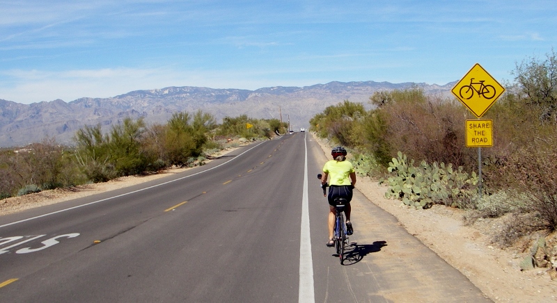
Wheeeeeeeeee!
Loving the ride on Freeman Rd.
Finally we reached the bottom and turned west onto Speedway, a major east-west artery through the city. Fortunately it's not too terribly busy this far east, and we didn't have too far to go to return to the condo. We stopped briefly only to take a photo of this attractive monument along the way. 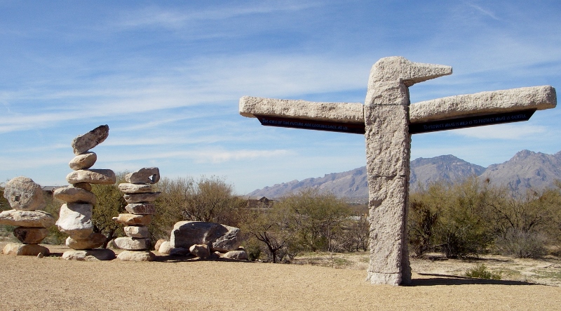
The total route was around 43 miles round-trip from the condo. We'll definitely repeat this one another day!
0 Comments
Leave a Reply. |
Emily & BarryWe're a long-married, early-retired couple who are currently traveling as nomads with no fixed home base. After years of living in North Carolina (Emily's home state), we spent 18 months living oceanfront on Ambergris Caye, Belize, a year road-tripping the US in a Honda CR-V, a year in Playa del Carmen, Mexico, and are now roaming North America in our 32' motorhome, Pearl, following warm weather whenever possible. 
Paisley, May 2016

States visited (pre-RV)
Pearl, a 2007 Newmar Bay Star
States visited in "Pearl"
Archives
July 2019
Favorite Travel Blogs |
 RSS Feed
