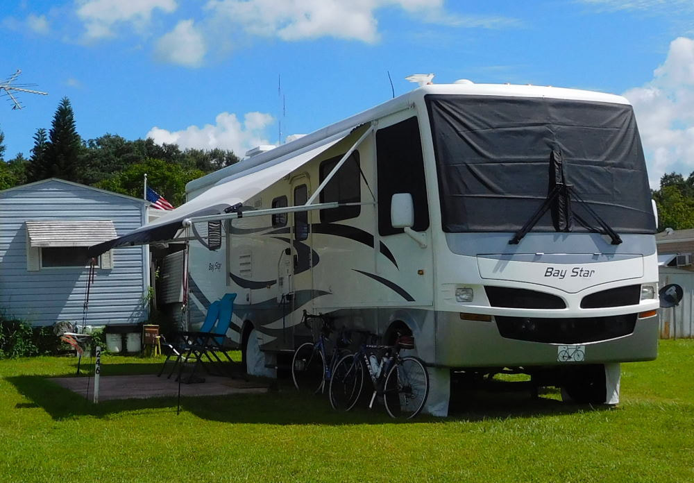
"Pearl" in Winter Garden, Florida
|
Long shadows in Wyoming
|
|
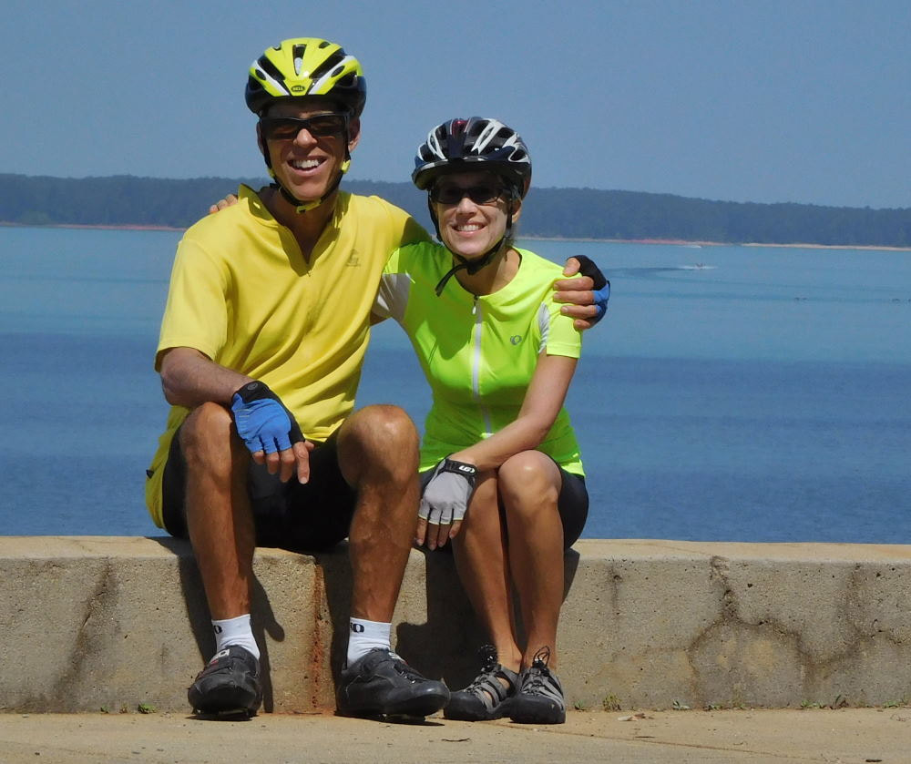
Whew! This was one busy day for us, and we packed a ton of sight-seeing as well as fitness activities into it. There's a lot to see and tell, so I've divided this one into two posts. This map will help you follow along on our adventures. 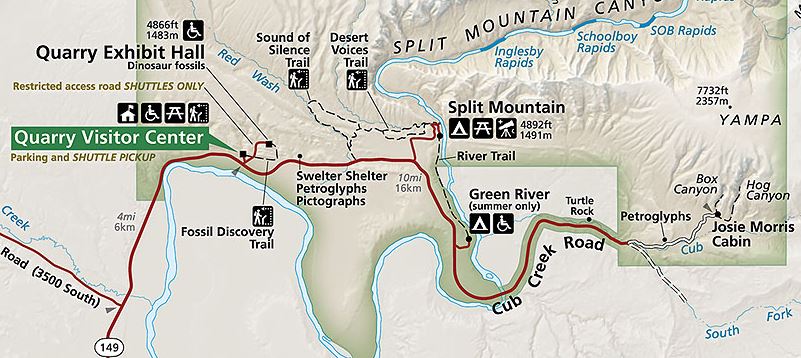 We started the day by pulling out the mountain bikes, since we knew we'd be riding on gravel for part of the way. Cub Creek Road out of the Green River Campground to the east starts out paved but eventually turns to gravel, and we were on the way to see the Petroglyphs and Josie Morris Cabin. You can see their locations on the right side of the map above. 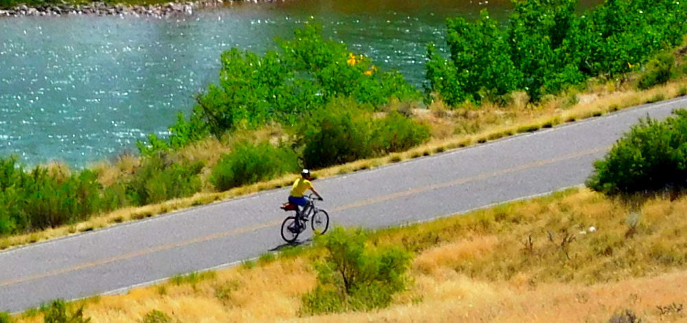 Barry climbing out of the Green River Campground We got a beautiful day for it and started early enough that we beat the crowds. In fact, we had our first two stops entirely to ourselves! A park ranger pulled up as we were leaving Josie's cabin and told us that mid-summer, the parking lot would get so full sometimes, that they'd have to hold cars back on the road and let them in only as space cleared. What a difference for our visit! But first, the petroglyphs. There aren't a huge number of them here compared to some other spots we've visited in the past, but we still enjoyed checking them out. The Freemont people lived in this area approximately 1000 years ago and made these drawings. 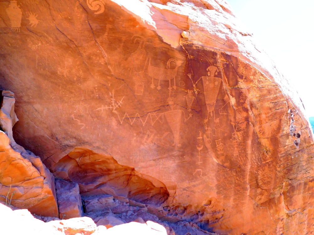 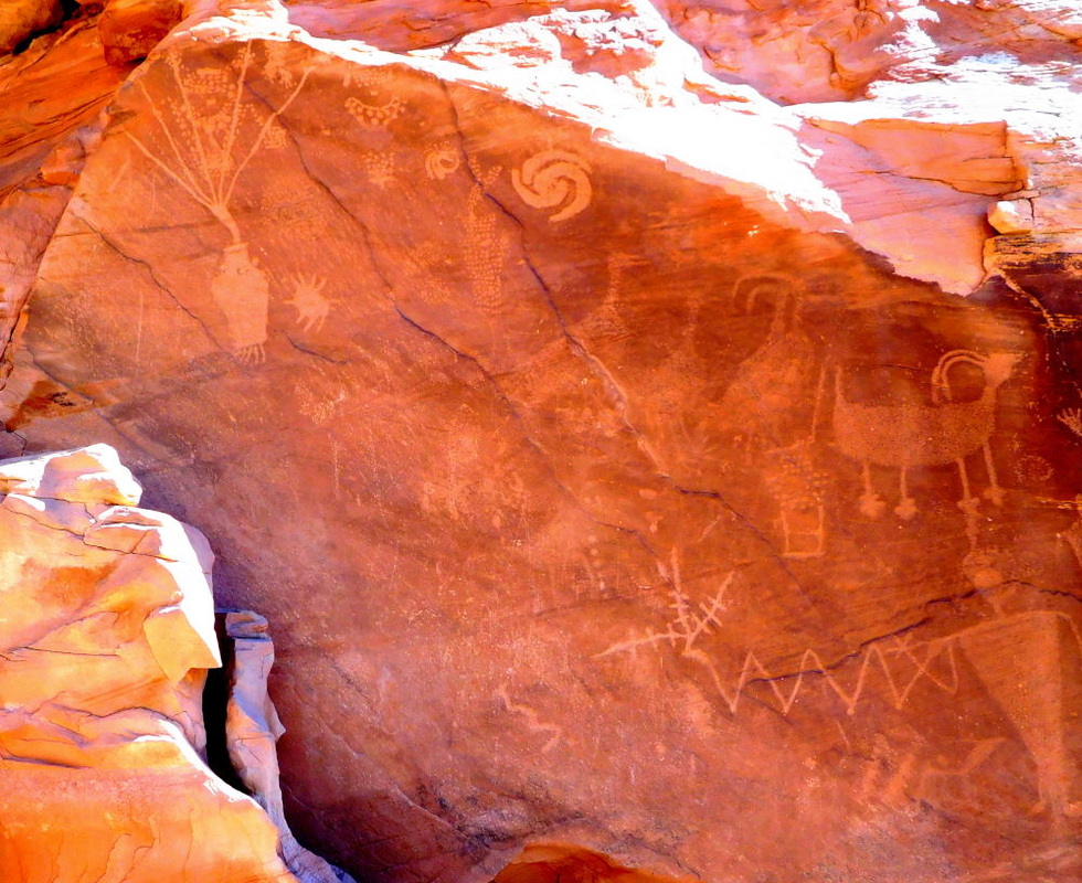 After seeing this main spot, we hopped back on the bikes and riding along, I spied some additional petroglyphs of lizards along another rocky face down a short trail. The camera's zoom got me a good shot from the road. 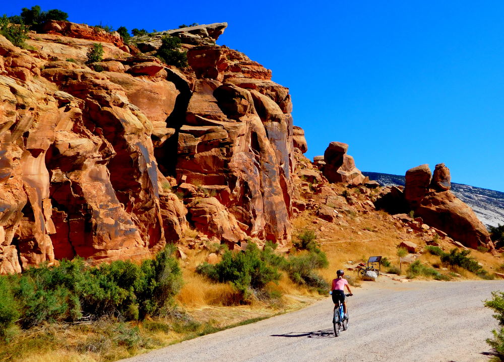 The ranger mentioned there being four lizards on this wall, but I see at least seven in this photo, plus a few human-like figures! 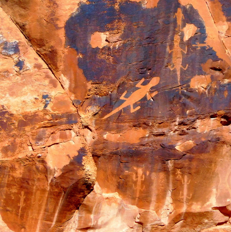 Josie Morris Cabin.Continuing down the gravel road a few more miles brought us to Josie Morris' cabin and homestead. Josie lived in this beautiful and secluded spot for over 50 years, raising cattle, keeping chickens, and living off the land. It was fascinating to see her homestead and imagine what her life must have been like there with no utilities or indoor plumbing, especially during the harsh Utah winters. She must have been one tough cookie! 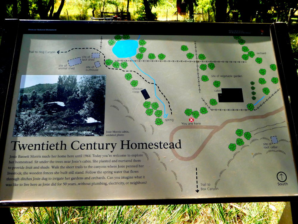 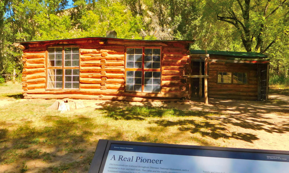 This house is just the right size for yours truly! I guess Josie was a petite lady too. 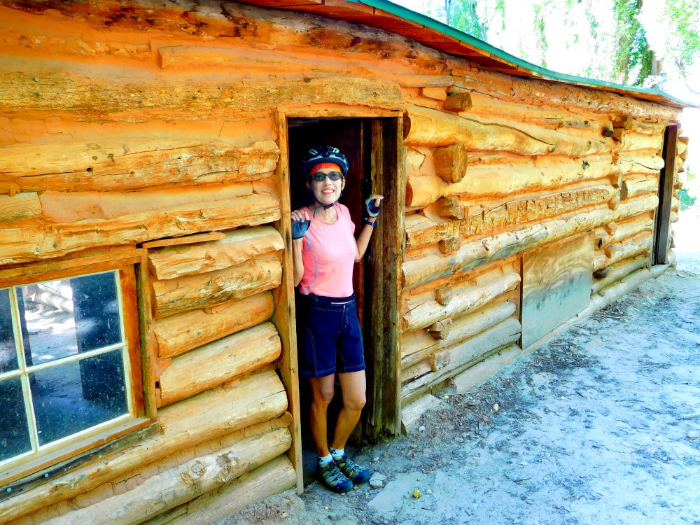 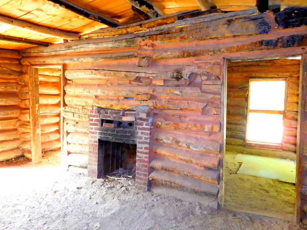 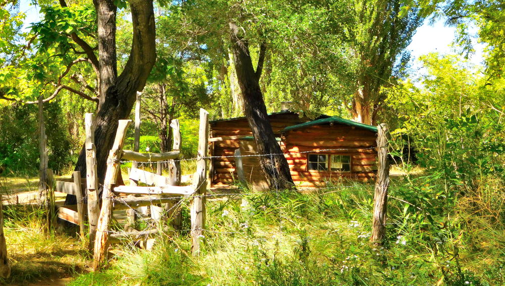 Here's what is left of the hen house. 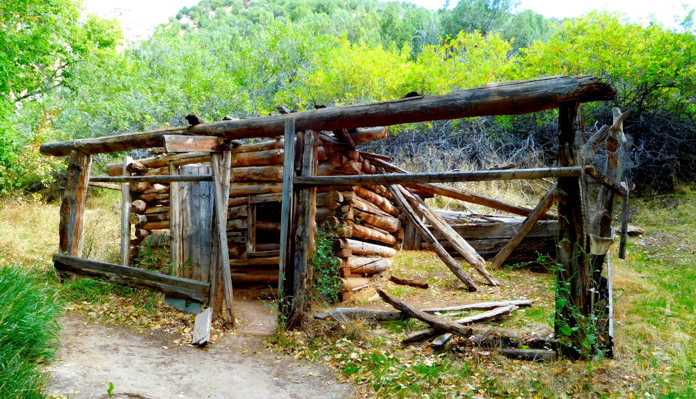 There were two short hiking trails accessible from the homestead, Hog Canyon and Box Canyon. These trails both led canyons enclosed on three sides, and the sign explained that Josie corralled her cattle in them. We decided to hike to Box Canyon. 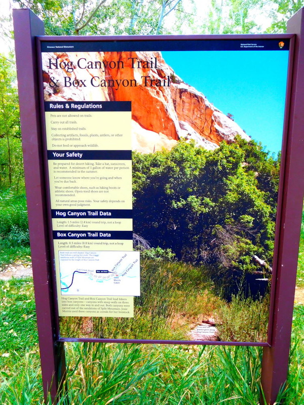 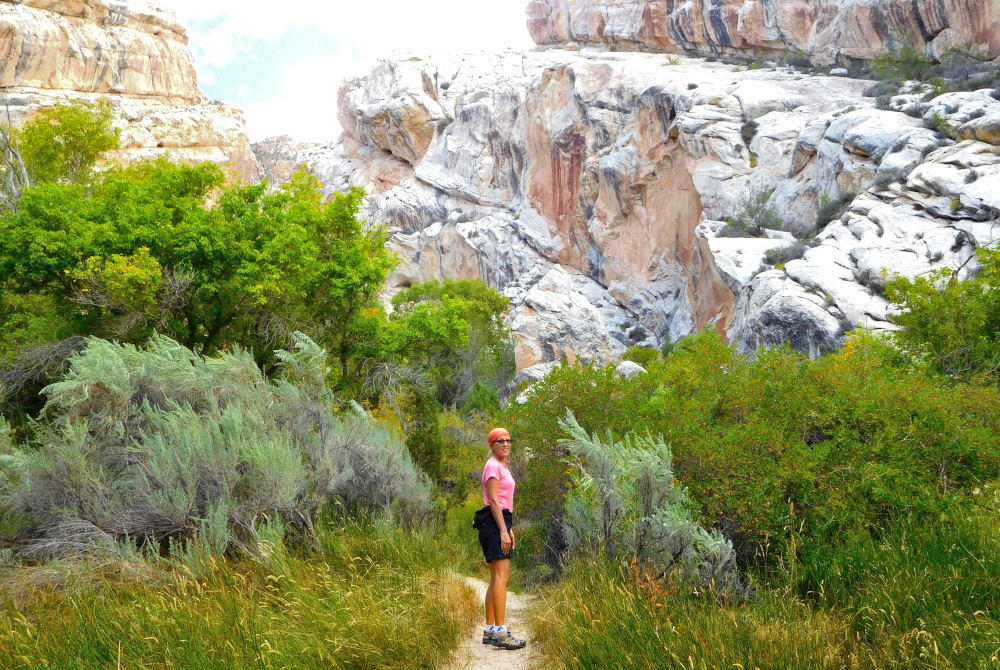 Box Canyon After our hike, it was time to remount our steeds, er, grab our bikes, and head back towards the park visitor's center. Before seeing the dinosaur bones, we need to make one more quick stop at another spot to see petroglyphs (marked "Swelter Shelter" on the map above). 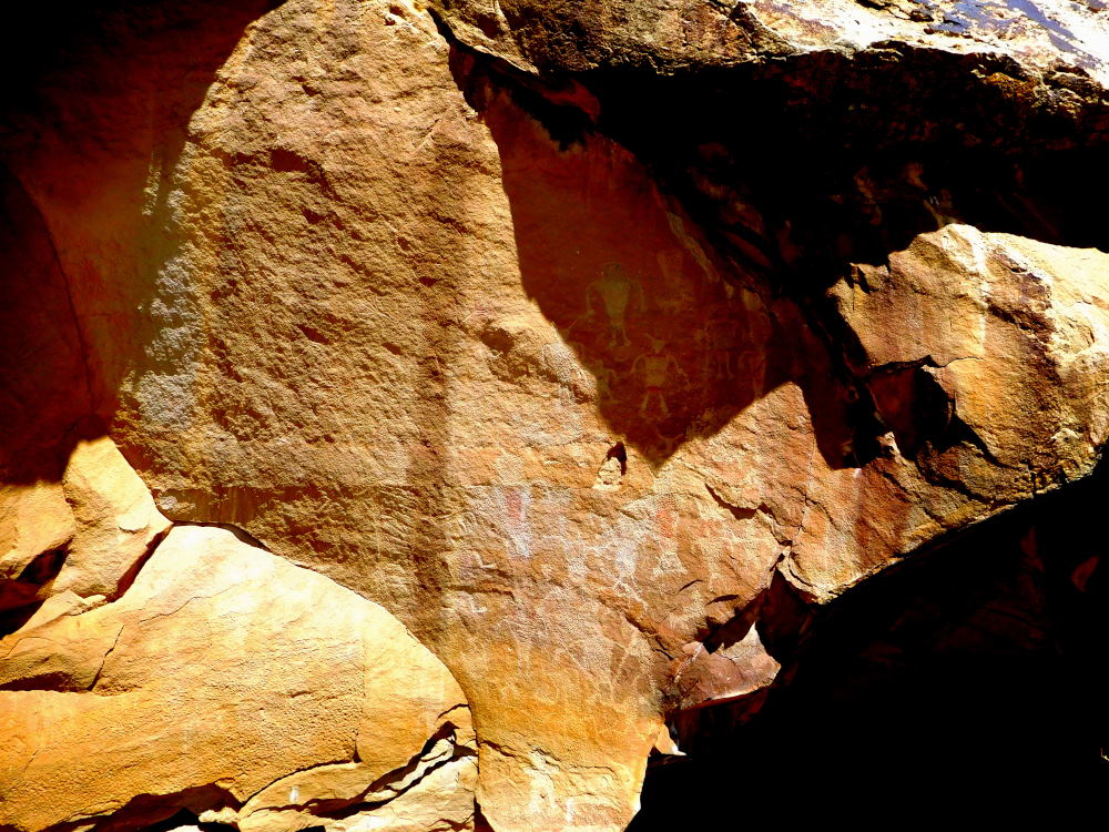 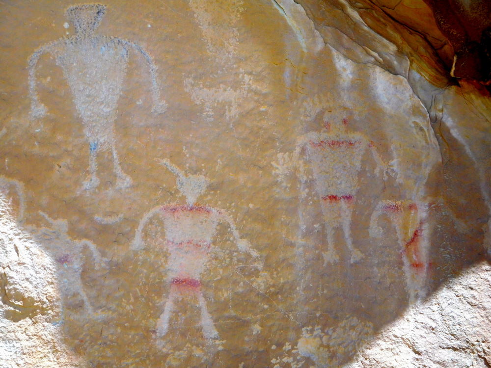 So far, everything we'd seen had been amazing, but the best was yet to come. Stay tuned for Part 2 in which we finally see what gave this national monument its name and reason for being: dinosaur bones!
0 Comments
Leave a Reply. |
Emily & BarryWe're a long-married, early-retired couple who are currently traveling as nomads with no fixed home base. After years of living in North Carolina (Emily's home state), we spent 18 months living oceanfront on Ambergris Caye, Belize, a year road-tripping the US in a Honda CR-V, a year in Playa del Carmen, Mexico, and are now roaming North America in our 32' motorhome, Pearl, following warm weather whenever possible. 
Paisley, May 2016
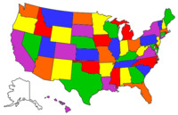
States visited (pre-RV)
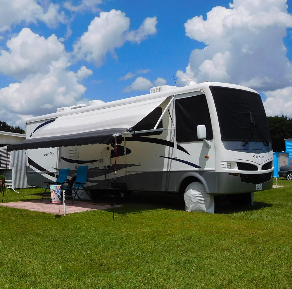
Pearl, a 2007 Newmar Bay Star
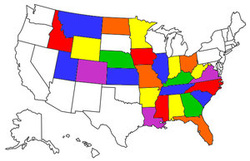
States visited in "Pearl"
Archives
July 2019
Favorite Travel Blogs |
 RSS Feed
