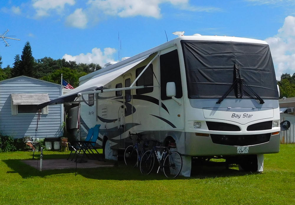
"Pearl" in Winter Garden, Florida
|
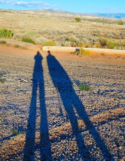
Long shadows in Wyoming
|
|
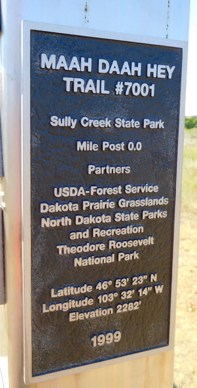
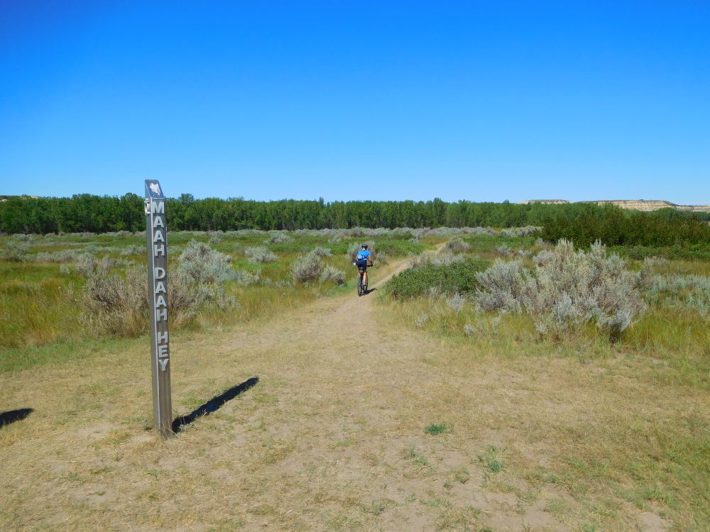
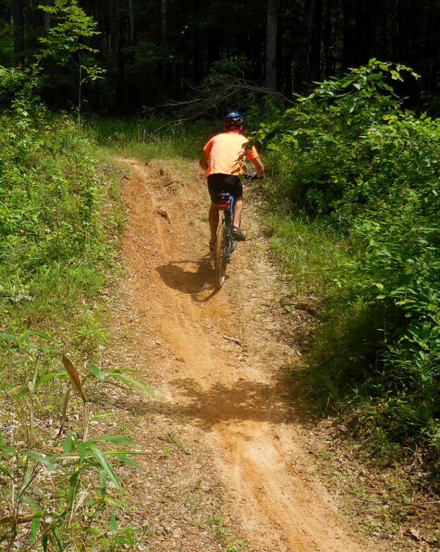
One of the highlights of our time in North Dakota back in 2013 was mountain biking part of the well-known Maah Daah Hey trail. Here's our blog post from that day. Although our single-track skills are not very advanced (understatement of the year award!), we hoped to tackle a bit more of the trail on this visit, and Barry especially wanted to ride more of the Buffalo Gap Trail, which intersects the Maah Daah Hey. Despite our best intentions, this was one of those days where every attempt ended up being thwarted. We first rode our mountain bikes over from the Cottonwood Campground in Theodore Roosevelt National Park to Sully Creek State Park south of Medora. The section south of town has some pretty serious climbs, but our research had shown that we could pick up the newest section of the Maah Daah Hey (nicknamed "the Deuce") there. 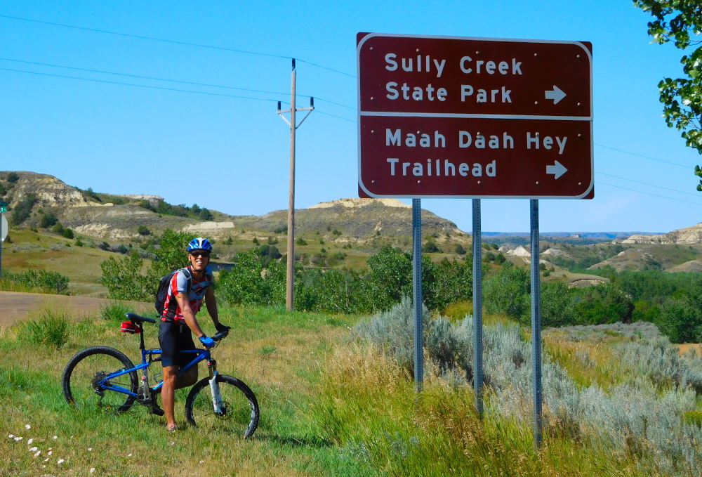 When we arrived at Sully Creek State Park, we first took some photos and rode a short, easy section of the trail until it got way too sandy, approaching the river. 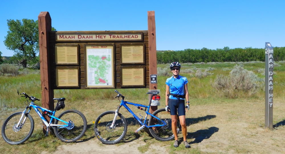 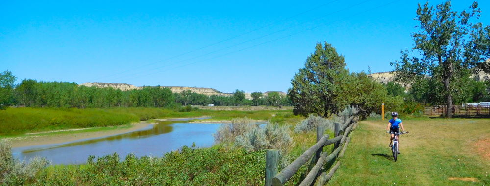
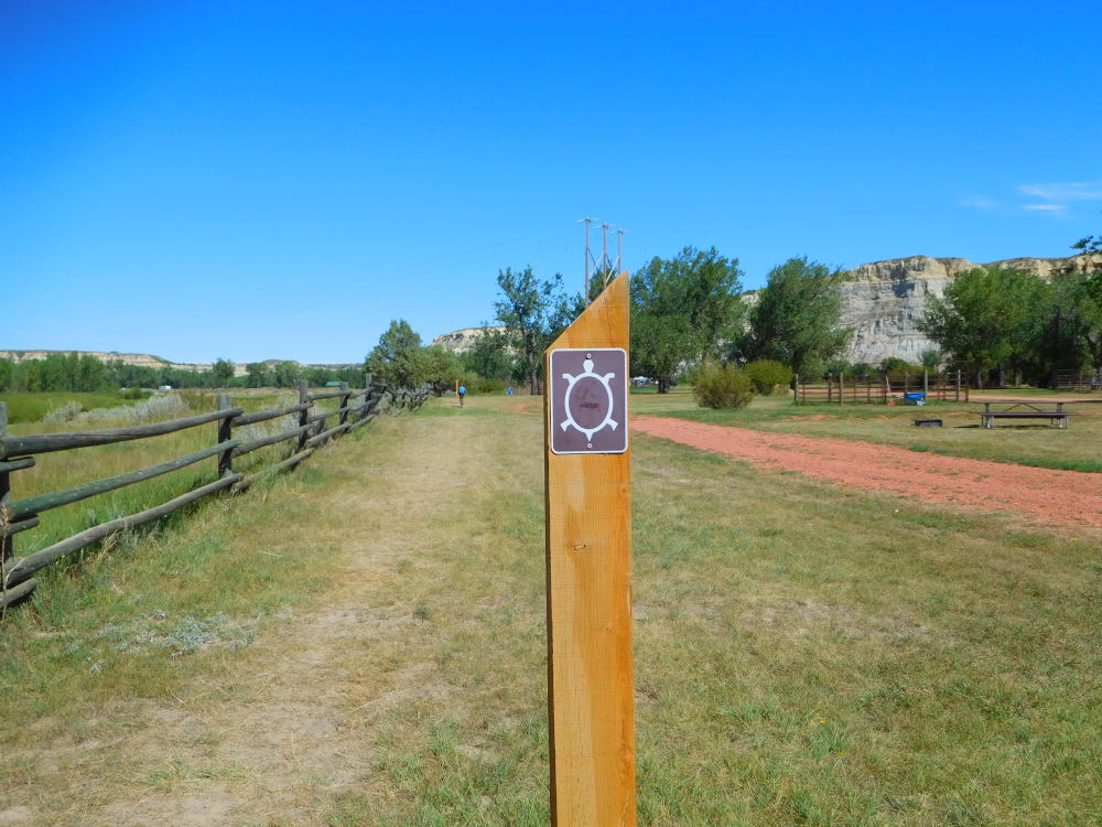
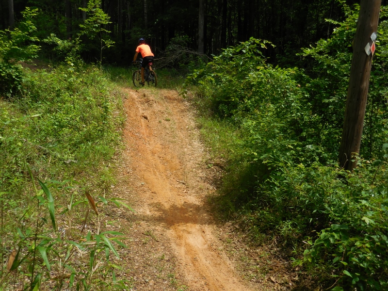
We did find the trailhead for the ""Deuce", but with the grasses grown up high on either side of the narrow trail and an immediate plunging descent which we couldn't see the bottom of, we quickly determined that at least this section of trail was above our skill and comfort level. 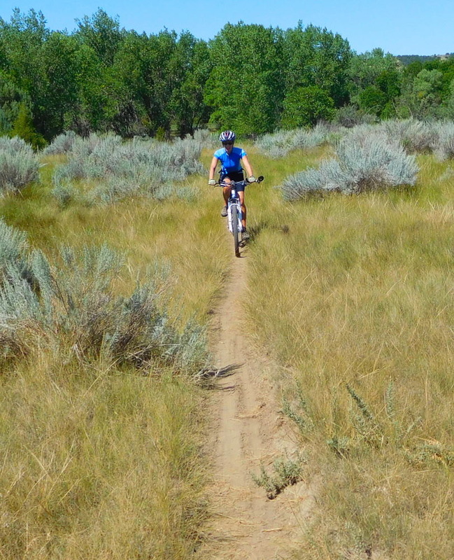 It started out manageable but quickly got tougher 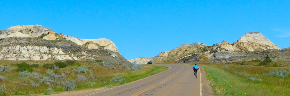 A hilly ride back to Medora 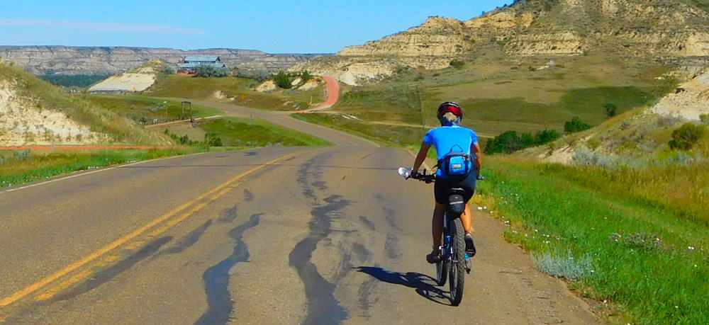 Great scenery from up high on a hill So, we retreated back to Medora and thought we'd ride some of the trail we'd done on our first visit. That part is easily accessible from the road on the western end of Medora. 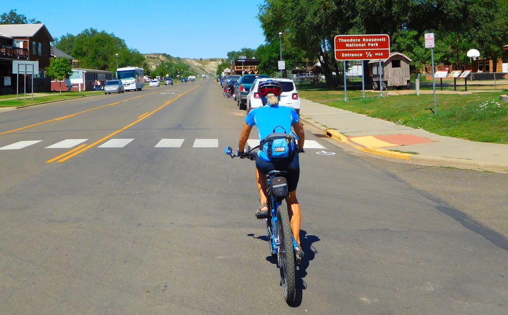 Riding through Medora Starting out, the trail was just as we remembered and not impossible for us. We tackled a couple of small creek crossings when, around the next bend, we saw a larger creek and some cattle blocking the way. We stopped and watched for a few minute as more and more cows came around the bend of the trail up ahead. Ultimately, they decided to graze and bathe right in our path, and we didn't feel comfortable proceeding, so we turned around and backtracked the short distance back to Medora. 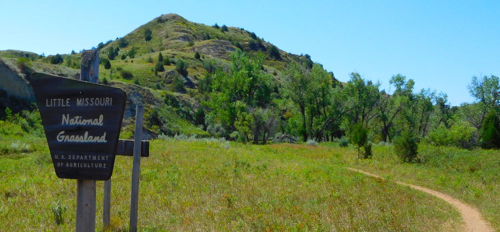 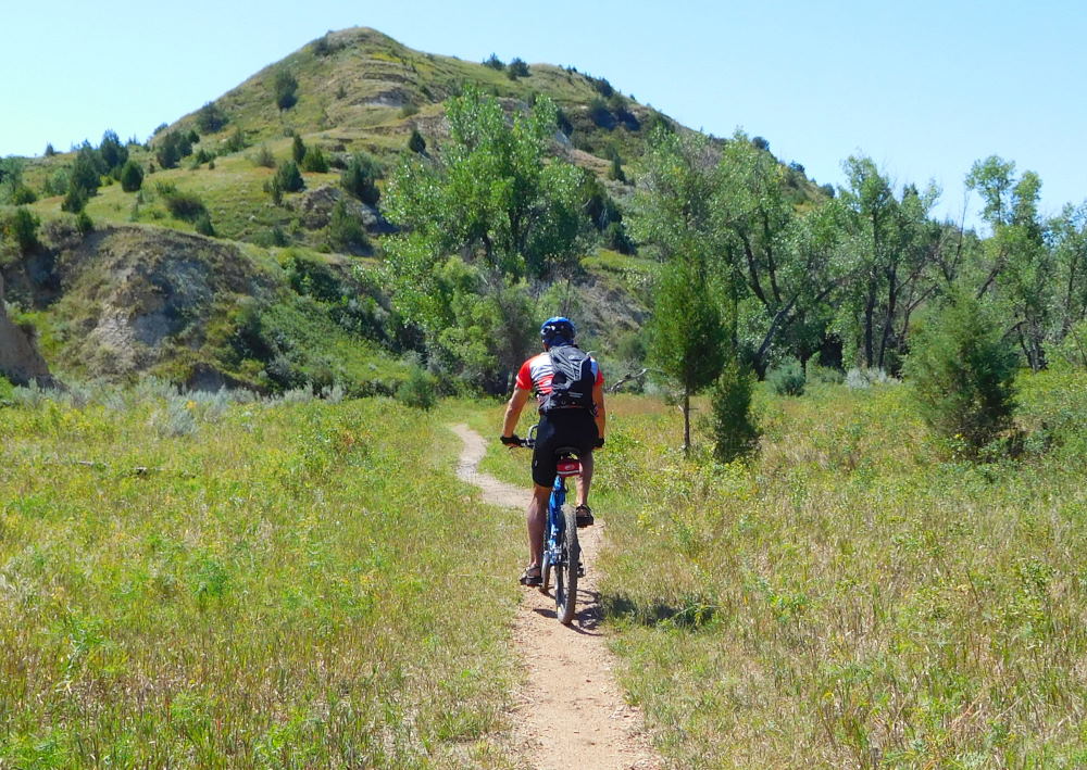 If you checked out the link to our previous ride on the Maah Daah Hey in fall of 2013, you'll note this exact creek crossing. Same bike, same blue jersey even! Some things never change. Including our sense of adventure -- or insanity; you be the judge. 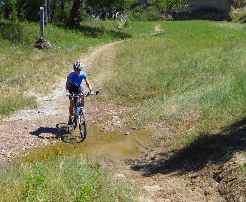 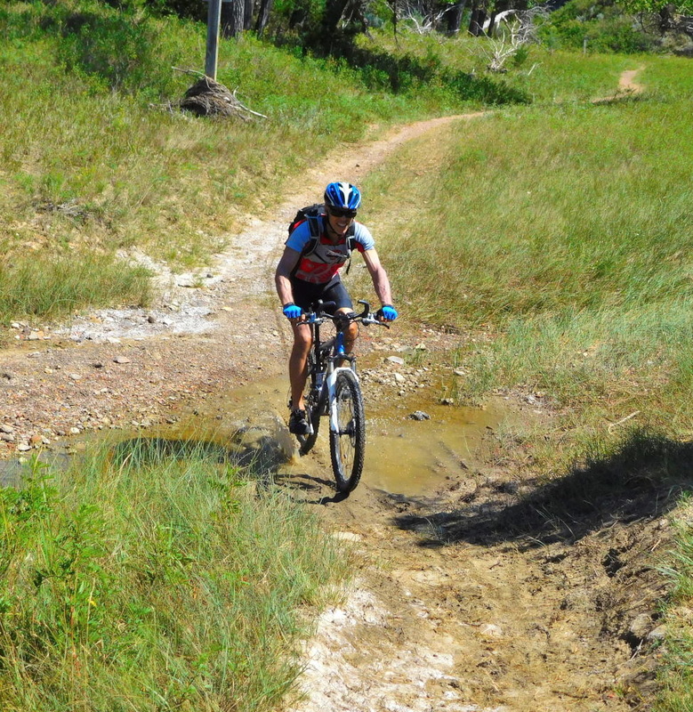 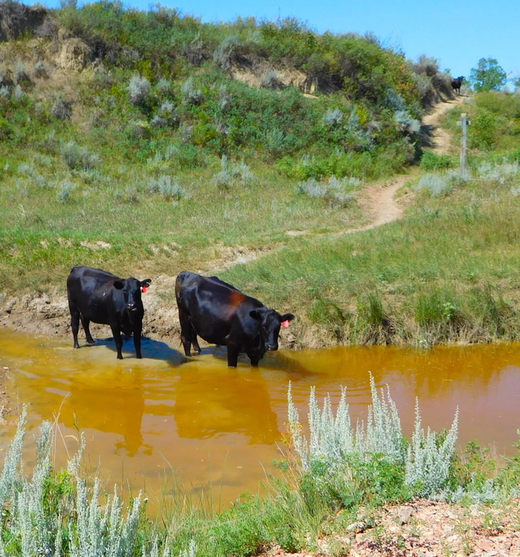 Cows blocking our crossing to the trail on the other side of the stream 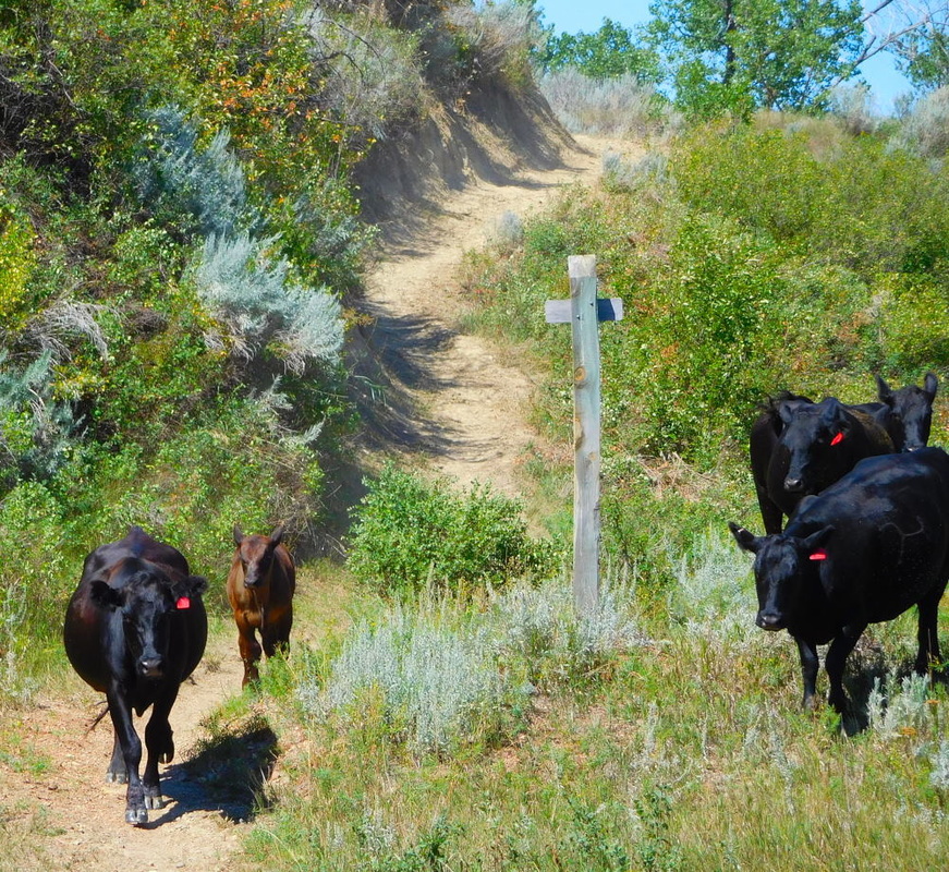 They called in reinforcements 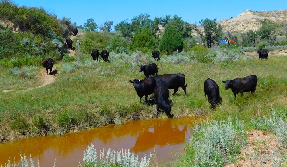 An entire herd coming down the Maah Daah Hey. Okay, we get the picture. You win! Our final attempt to get a little mountain biking in was to take a short stretch of I-94 over to access the Buffalo Gap Trail a bit farther north. In North Dakota, bicycling on the interstates is allowed because there are so few paved roads. And the shoulder is huge. We had ridden a short distance on the interstate on our previous trip here, actually. But this time, it was not to be. We got up the ramp, but there was major construction on this section of I-94 and thus not enough road shoulder for us to ride safely, so once again, we were forced to turn back.
All in all, we ended up with over 25 miles of riding but most of those were pavement miles; definitely NOT what we'd planned for the day. But that's the way things go sometimes, and at least we managed to have fun and maintain fitness, despite the obstacles!
0 Comments
Mabel Lake Campground is in the middle of nowhere, but we still managed to find some fun. There are excellent unpaved, but well-maintained, forest service roads in the Chippewa National Forest easily accessible from the campground. So of course we had to take the mountain bikes out for a ride on a beautiful day. 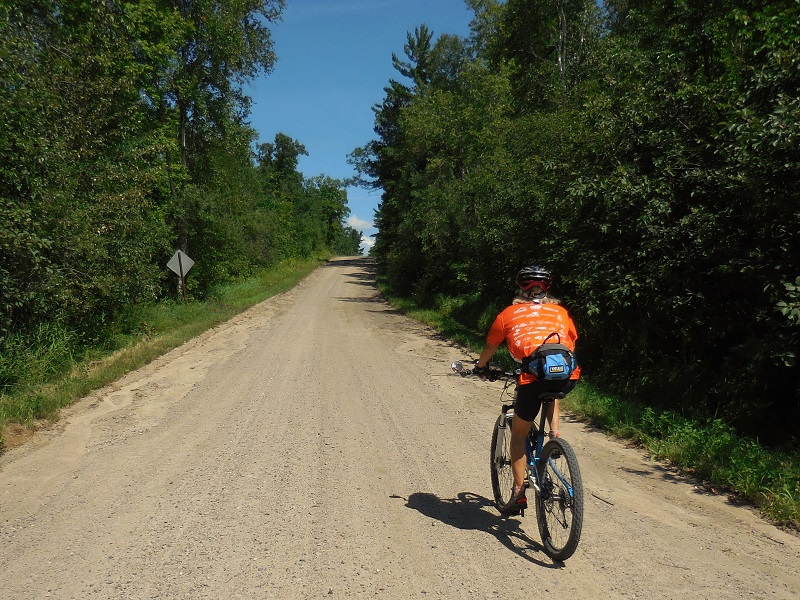 Along the way we encountered lots of downed and damaged trees from the heavy storms with straight line winds that had passed through many parts of Minnesota in the previous two weeks. The Forest Service had done a great job at clearing what must have been impassable roads quickly, but the evidence remained. It was so sad to see so many of these beautiful birches down.  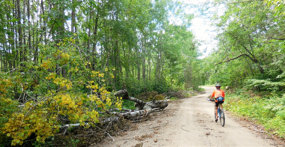 There was no traffic whatsoever to contend with, and no dogs. But an even greater nemesis would plague us for much of the ride: deer flies! These evil pests are incredibly persistent and would follow us for a long way, mostly swarming around our helmets --another good reason to wear a helmet even on unpaved roads! We could occasionally outrun them if we hit a fast descent, but they'd catch back up (or a new group would find us) on the flats and climbs. These annoying flies pack a painful bite, so we were kept busy trying to stay ahead of them. Both of us did get bitten several times, though, especially on our butts, right through our bike shorts. They are attracted to dark colors (especially blue, apparently, with black a close second). These bites would turn into huge welts and itch for days on me, as I seem to be more allergic than Barry. As an aside, I found the MOST HILARIOUS EVER diatribe against deer flies online that you might want to check out, but be forewarned: it is not safe for the kiddos (lots of bad language but so so funny). Check it out at My Nemesis: The Deer Fly. I am thinking that his blue solo cup head apparatus might be a worth addition to our bike helmets during deer fly season. It would certainly keep people guessing! Much to our surprise, we crossed the Soo Line Trail, an unpaved rail trail running through the state, popular with the ATV folks. We had no idea it crossed here. So, we rode that for a short distance just to check it out. But it proved to be impassable with huge puddles all the way across from the rains. And the deer flies were even more numerous than on the FS roads, so we quickly backtracked. It sure was pretty, though, and would be a fun time at a different time of year, sans flies. We did stop to apply Deep Woods Off towelettes. Unfortunately, they were ineffective against the aggressive deer flies. 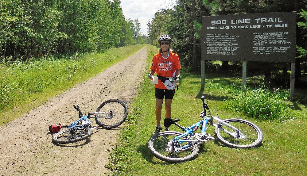 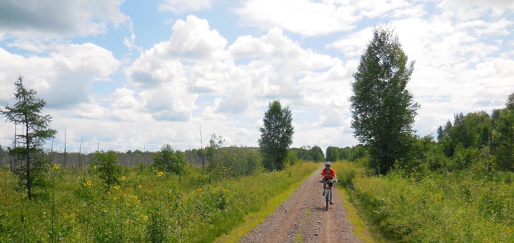 Riding the Soo Line Trail Once we got closer to the campground and Mabel Lake on the return trip, the flies thinned out, and we could better enjoy our ride. The countryside of Minnesota is gorgeous, and even with the annoying flies and itchy bites afterwards, this was still a great day and a fun ride. 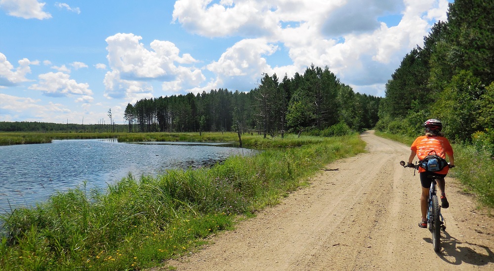 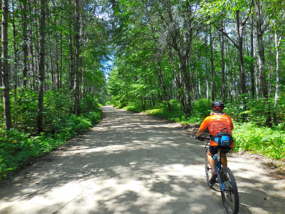 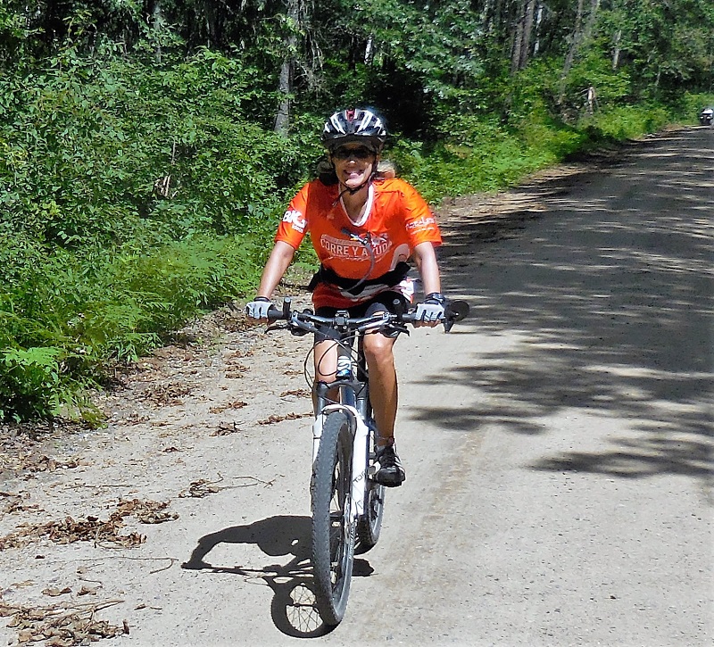  On the way to our Memorial Day spot, we spent a few nights in the Caney Lake Recreation Area of the Kisatchie National Forest in northwest Louisiana, near the town of Minden. We had originally planned a two-night stopover but were enjoying ourselves so much, we extended for an additional night. We had a great campsite in the Beaver Dam Campground with a peek-a-boo view of Upper Caney Lake and plenty of privacy, as campsites are widely spaced, and the campground wasn't close to being full. 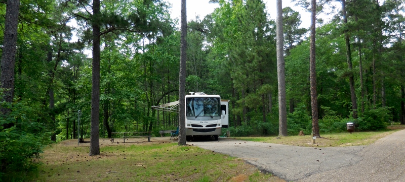 Our site at Beaver Dam Campground We packed a lot of activity into just two full days. Although we ran into some aggressive loose dogs (pretty typical for the rural south, unfortunately) when riding our bicycles on the roads outside the park property, there is some good (dog-free) road cycling inside the Recreation Area with just the right number of rolling hills to get your heart pumping. And no traffic at the time we were there (mid-week). Score! 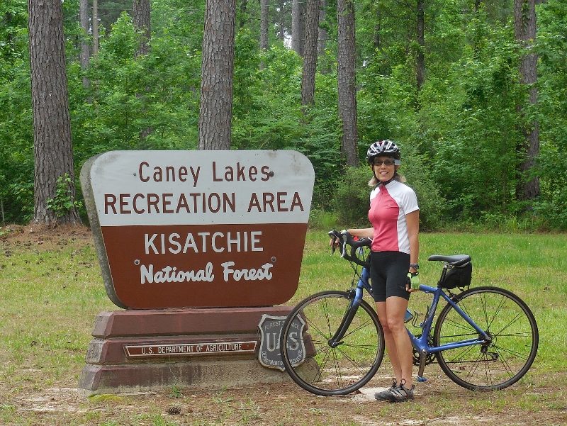 There's also a five-mile trail around Upper Caney Lake, the Sugar Cane Trail. This National Recreation Trail is named to commemorate the fact that sugar cane used to be grown and harvested in the area. It's an easy trail through the woods and alongside the lake. We hiked the entire trail one day and mountain biked part of it the next. 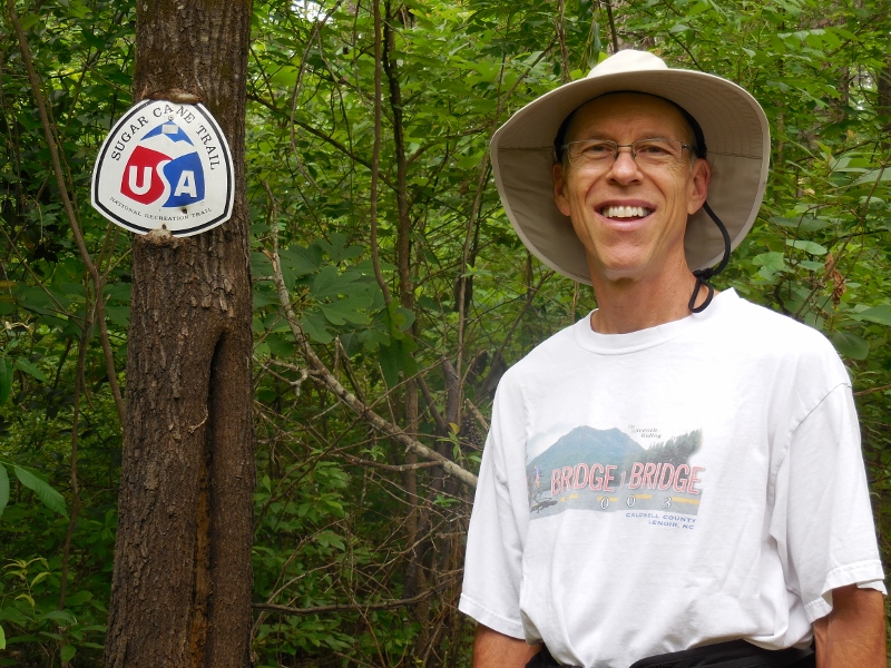
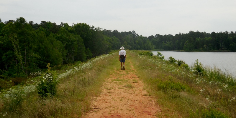 Upper Caney Lake on the right, Lower Caney Lake just barely visible on the left  I was fascinated by this tree growing happily in Lower Caney Lake On the mountain bikes we couldn't make it all the way around due to swampy conditions and multiple large trees down, blocking the trail, but it was fun to do a little single track for the first time in two years. We are not technical mountain bikers so this "easy" trail was perfect for us. Barry is a lot braver about trying things than I am! 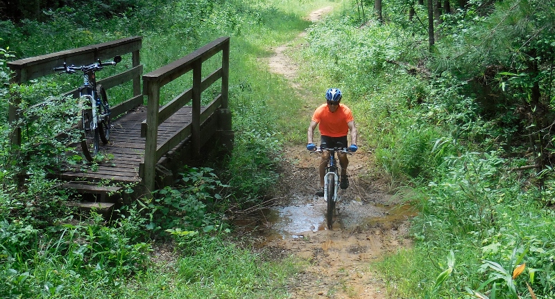
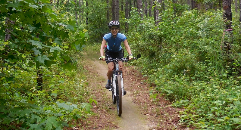 This is more my speed! |
Emily & BarryWe're a long-married, early-retired couple who are currently traveling as nomads with no fixed home base. After years of living in North Carolina (Emily's home state), we spent 18 months living oceanfront on Ambergris Caye, Belize, a year road-tripping the US in a Honda CR-V, a year in Playa del Carmen, Mexico, and are now roaming North America in our 32' motorhome, Pearl, following warm weather whenever possible. 
Paisley, May 2016
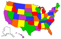
States visited (pre-RV)
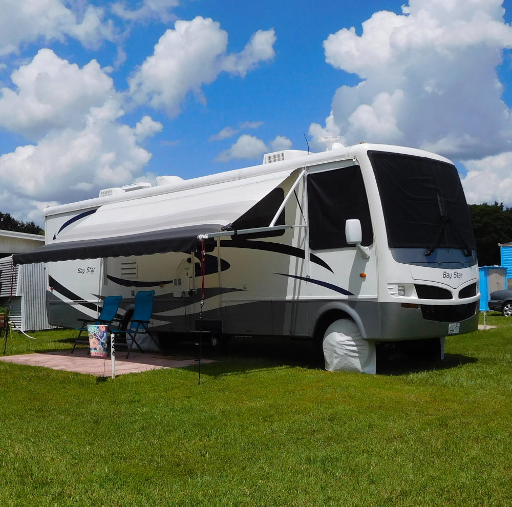
Pearl, a 2007 Newmar Bay Star
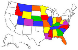
States visited in "Pearl"
Archives
July 2019
Favorite Travel Blogs |
 RSS Feed
