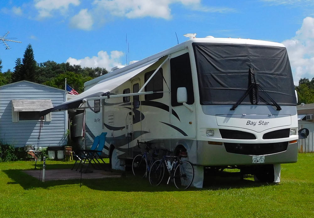
"Pearl" in Winter Garden, Florida
|
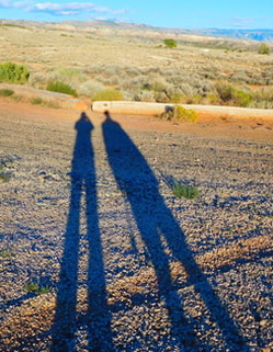
Long shadows in Wyoming
|
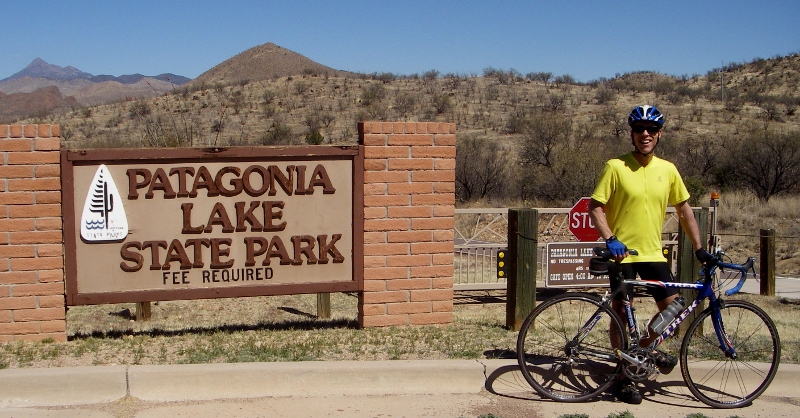
Earlier in the month, we rode our bikes down the very hilly road to the entrance to Patagonia Lake State Park (see photo above), but did not go in. This Wednesday, we drove down to the park from town and paid the $10/car fee to enter. The forecast was for a very windy day, so riding our bikes there would not have been fun and might have been dangerous with the wind gusts. And frankly, I couldn't face hills like this again! 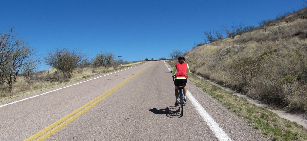
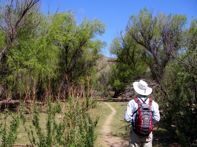
While not a good day for cycling, it was a fine day for checking out the park and escaping at least some of the wind on the long Sonoita Creek birding trail hidden among the green trees. 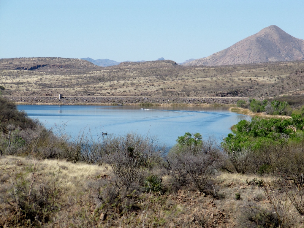
Zoomed in view of Lake Patagonia from the road into the park earlier in March -- it's greener now!
Upon arriving at the park, we headed directly for the Sonoita Creek Trail, knowing that the birds would be most active in the morning. We could check out the lake later. When we first started out, the trail was busy with other birders, but once we got farther down the trail, it thinned out, and we saw very few other people. At the beginning of the trail, we were at the eastern edge of the lake and got to see some ducks and shorebirds. 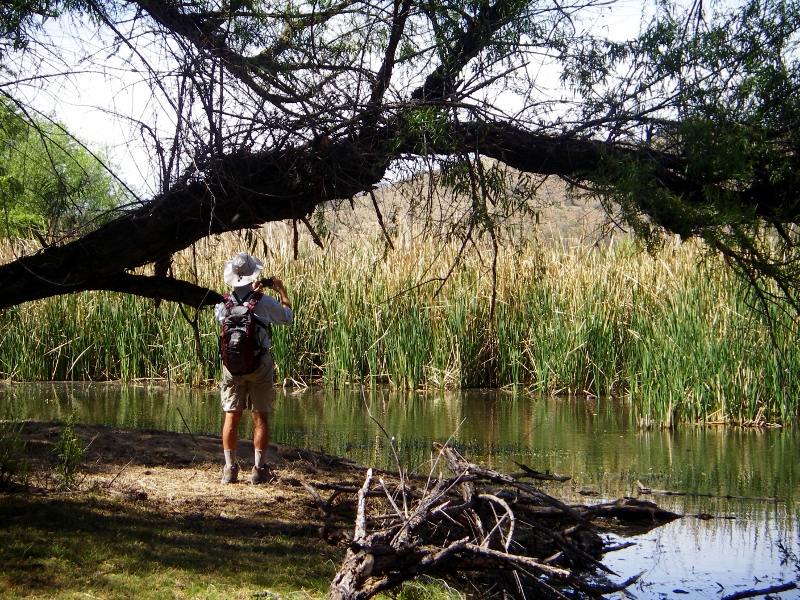
Barry trying to snap a photo of a Northern Shoveler pair who were playing hide and seek in the reeds
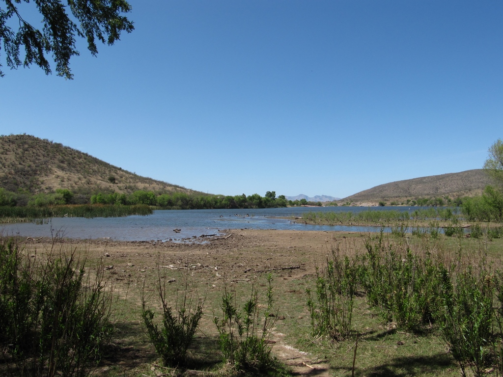
Eastern edge of lake
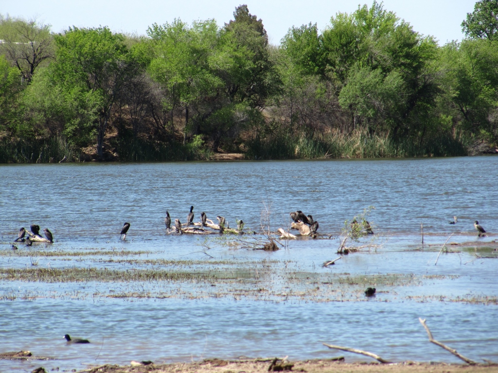
Zooming in, we could see cormorants and American Coots, primarily
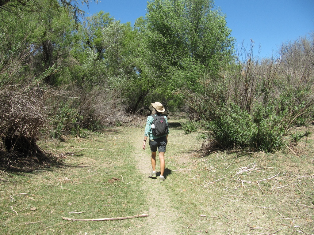
After checking out the shorebirds, we made our way on down the trail. The riparian environment near the creek was absolutely gorgeous -- green and lush. I couldn't get over how different it was from the typical southern Arizona Sonoran desert landscape. Since it is now migration season, there were many birds singing in the trees. This was no fitness hike as we had to stop many times to check out birds. 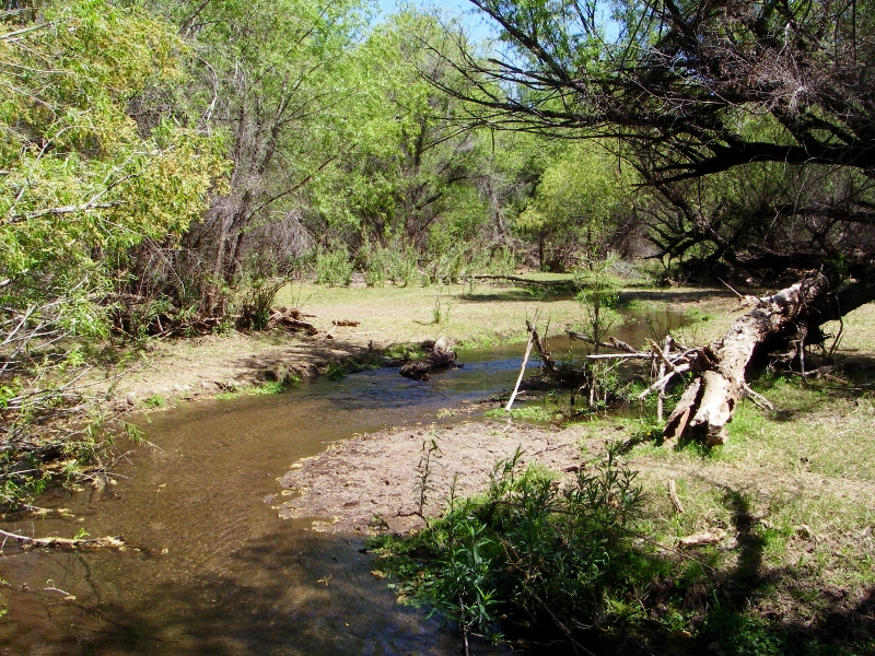
Sonoita Creek
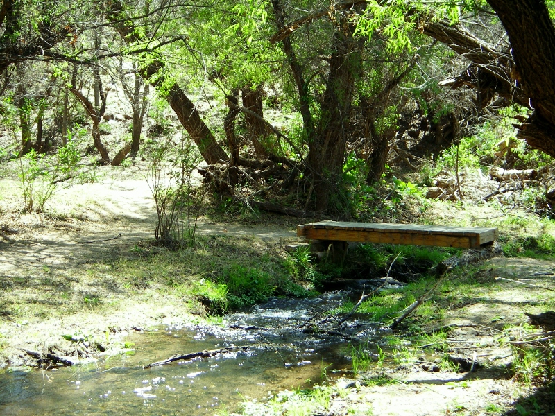
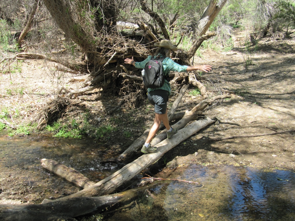
One of several Sonoita Creek crossings
So lush and green -- are we really still in Arizona?
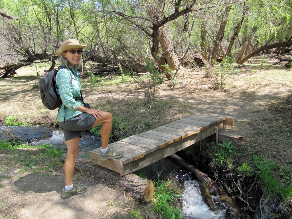
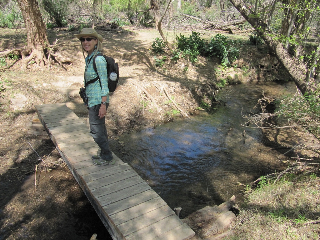
Crossing again
Right before we turned around to head back on the trail, we came to the most fun creek crossing. I made it across in both directions with no wet feet! 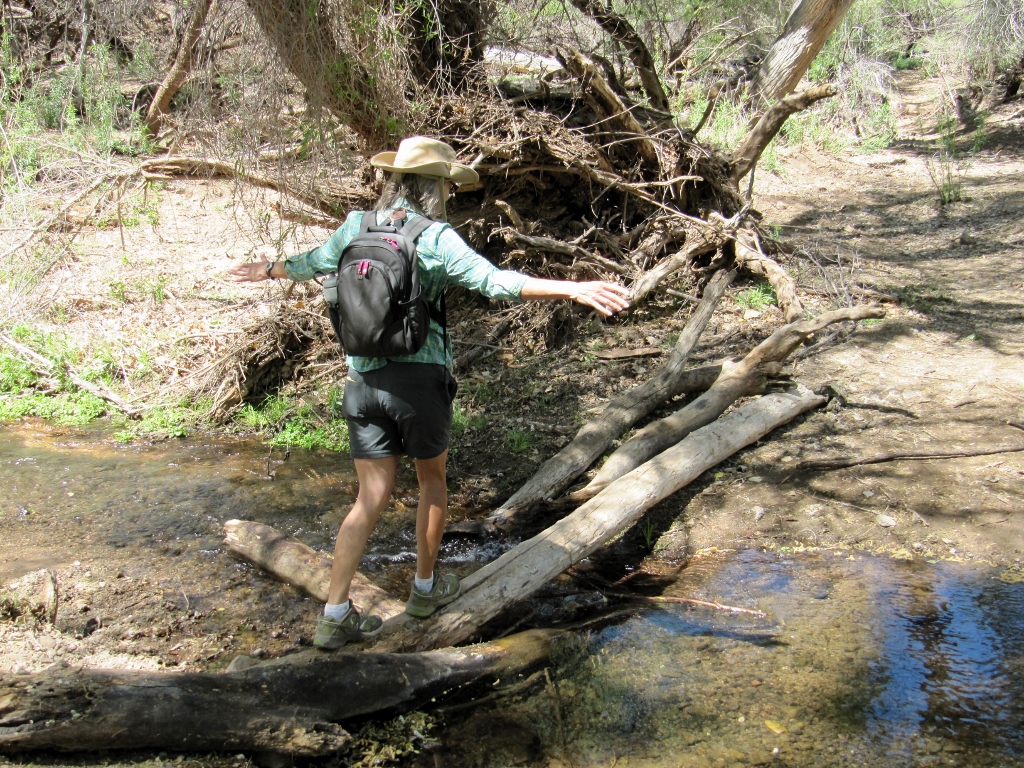
We did see quite a few birds on our hike, but we'll save those for a later blog post on Patagonia birds to keep this one to a reasonable length. After coming back on the trail, we walked around looking at the rest of the park. Patagonia Lake is a 265-acre man-made lake. It would be a great place to kayak or canoe since only low-power motorboats are allowed (and no jet-skis -- yay!) The lake is also very popular for fishing. There are two campgrounds that were pretty full, though the folks in RVs were faring much better than those in tents on this blustery day. We saw a couple of tents that were just about to take flight with the migrating birds! Wish we'd snapped a photo.... 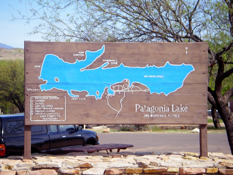
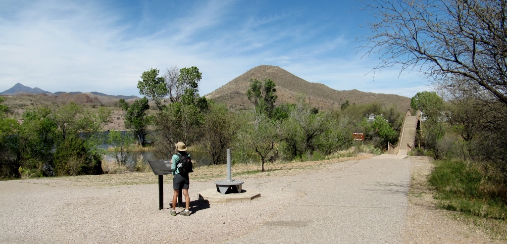
There's a highly arched pedestrian bridge over part of the lake. Perhaps they built it so high to let small sailboats pass under (just a guess). Walking across this bridge was a good workout with the steep slope on each side. On the other side of the bridge is a day-use picnic area. 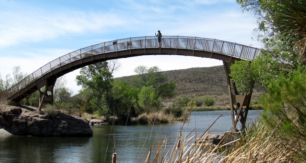
I'm up on the bridge!
I took the shot below from the top of the bridge. The folks in the canoe were really fighting the wind but finally got the boat back to shore. I don't think I would have been out there paddling today! 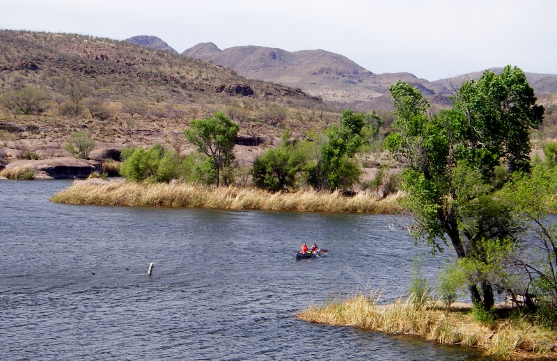
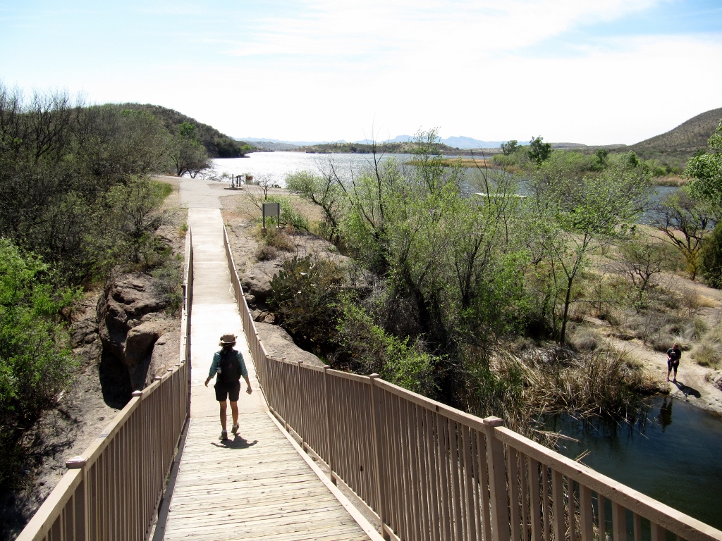
Heading down to check out the other side
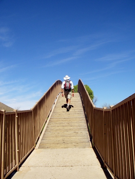
Barry getting a workout too
Despite the wind, we had a great day visiting the park. We hope to come back for another visit one day! 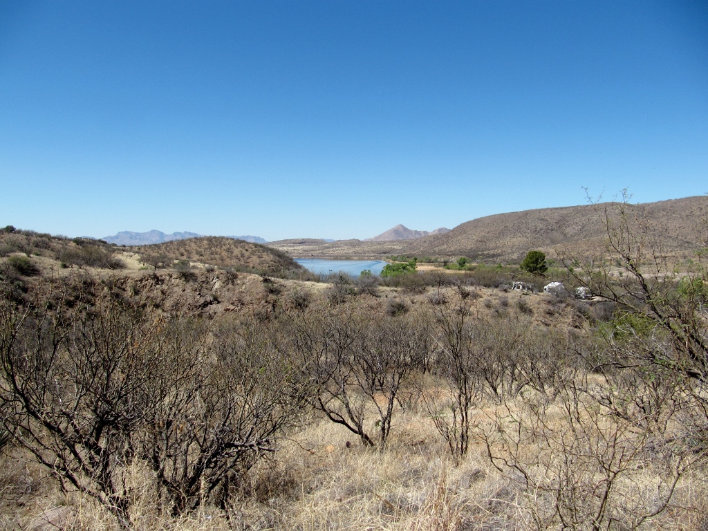
Patagonia Lake from a distance on the road in
0 Comments
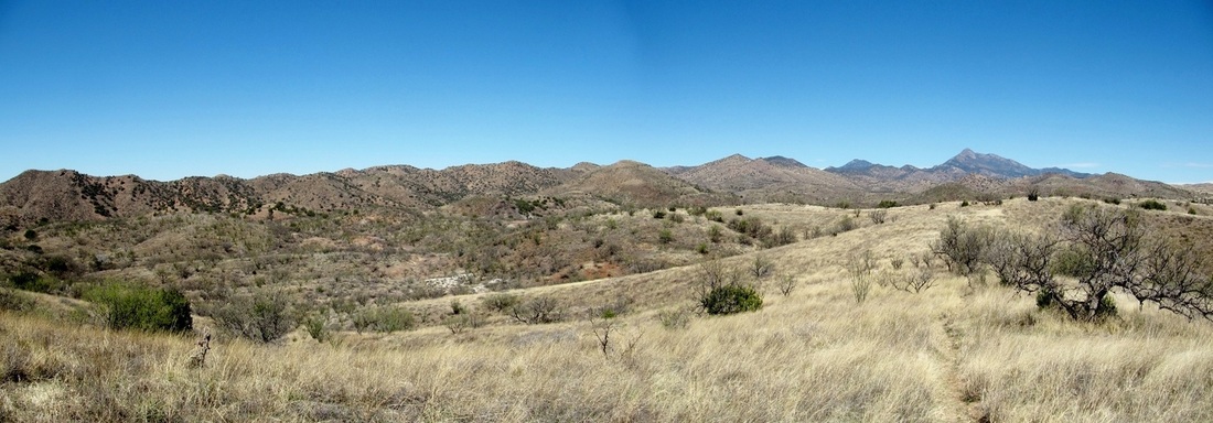 When walking down to visit the Nature Conservancy's Patagonia-Sonoita Creek Preserve for birdwatching twice during our time here in Patagonia, AZ, we passed a Nature Conservancy hiking trail outside the gates of the preserve. Although there is a fee to enter the gated part of the preserve, this 3.8-mile loop, named after Arizona naturalist Geoffrey Platts, is free to hike. So, after our week's pass to the preserve expired, we knew we'd have to head down to hike this trail. We measured the distance of the road down to the trailhead from where we're staying in town, and it's 2.3 miles round-trip. So by walking there and back, we'd end up with a nice 6.1 mile hike. Before arriving at the trail, we saw a couple of mule deer in the trees right by the side of Blue Heaven Road. Barry managed to get a photo of one checking us out before they scampered away. 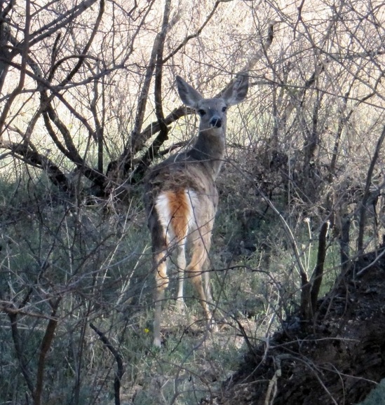 Check out the big ears! The Platts trail is moderate in difficulty with a few short climbs and some loose scree and talus when going up and down the ridge. We wished we'd brought our hiking poles for a bit of assistance, especially when picking our way downhill on the rocky terrain, which can get slippery. Although we'd hoped to do some bird-watching, the trail climbs up into a barer, more desert-like area, so birds were few and far between. We saw many more birds while walking on Blue Haven Road with its varied trees and shrubs on the way to and from the trail. Birds may have been lacking, but views certainly were not. Once we'd climbed up high on the ridge, we could see the beautiful Patagonia mountains on all sides. We also had great views looking down on the town of Patagonia, and see the tops of the huge cottonwoods that are now completely leafed out in spring green all over the valley. Stunning! 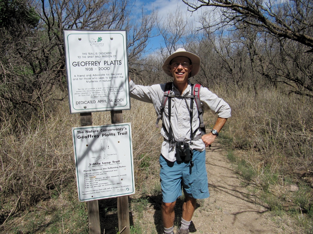 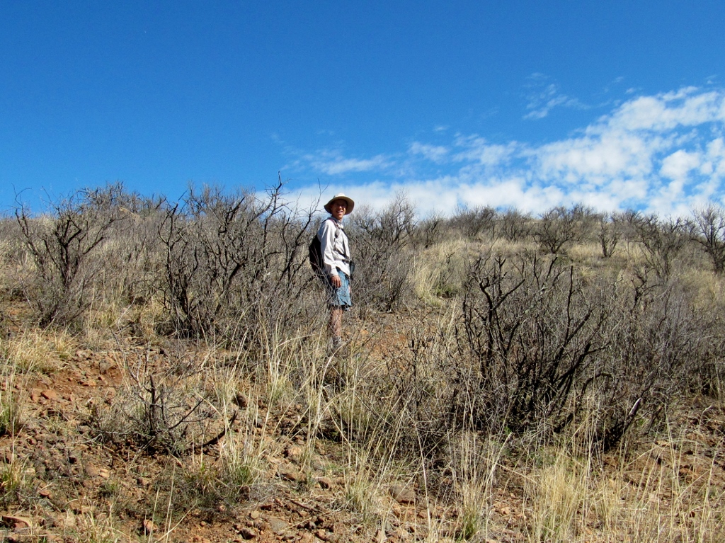 Barry starting up to the ridge 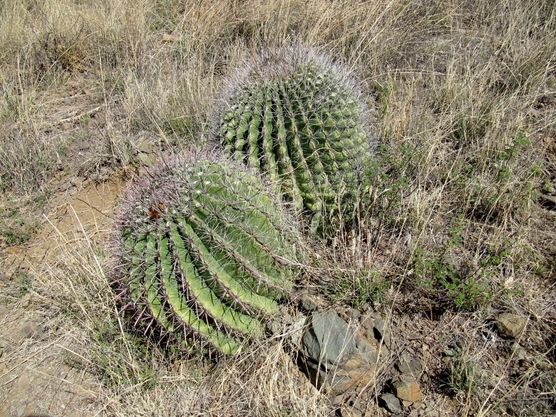 Wouldn't want to trip and fall into these bad boys 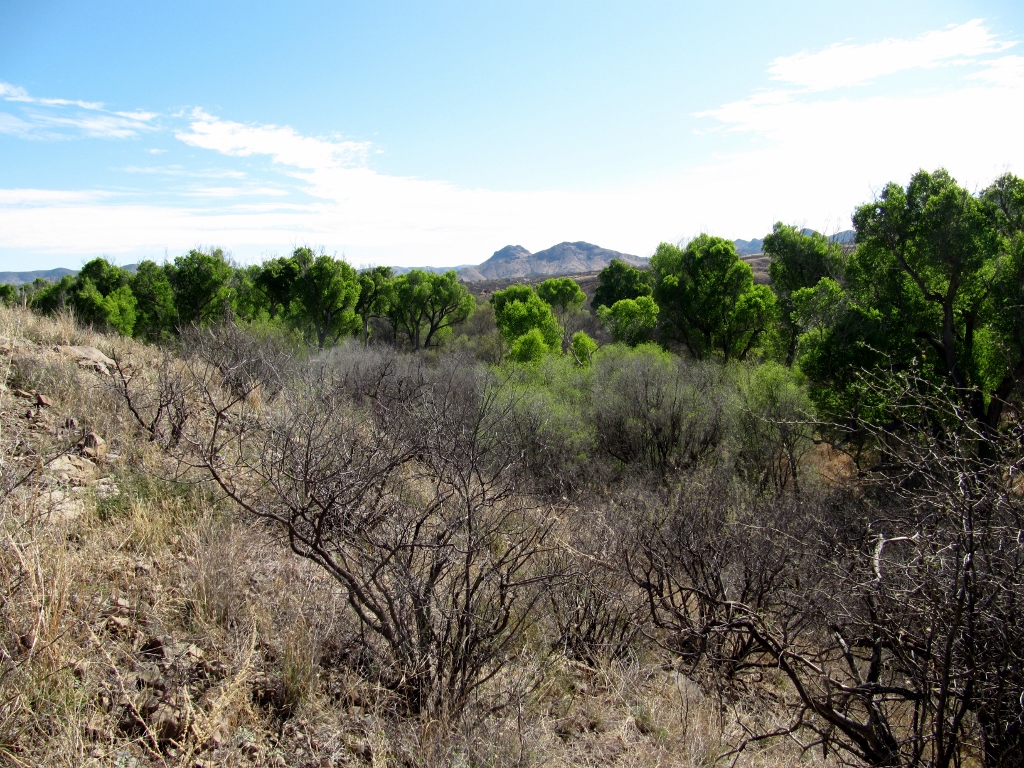 View as we climbed up on the ridge 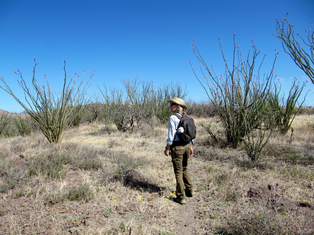 Up high there was a veritable grove of octillo, all budding out. Very pretty! 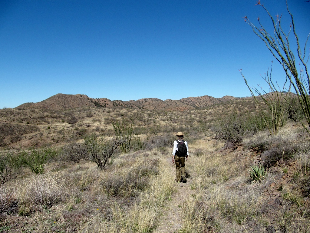 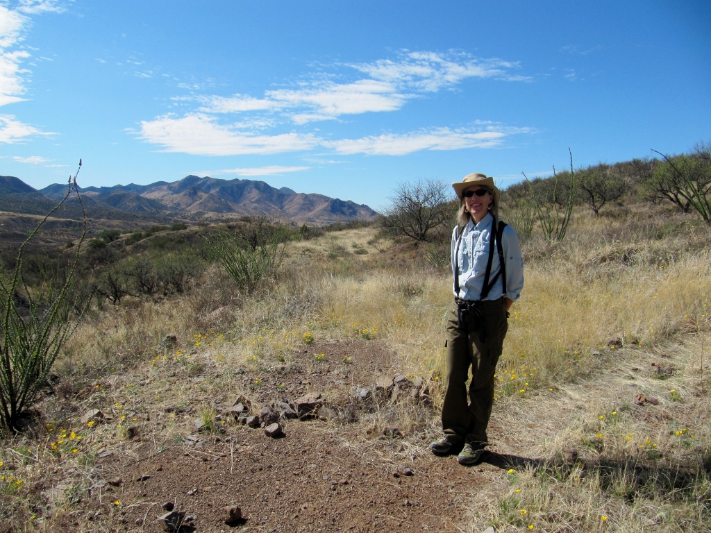 Mountain view 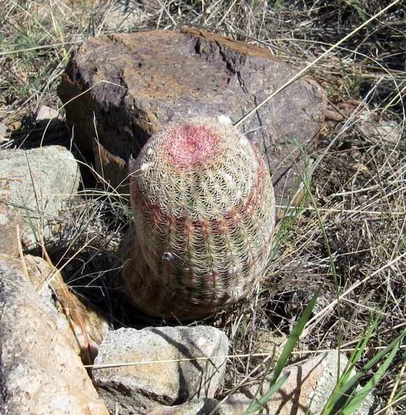 Interesting cactus with striped look 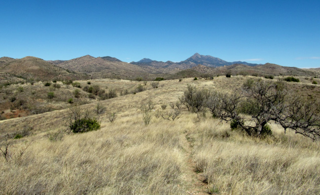 Up on the ridge 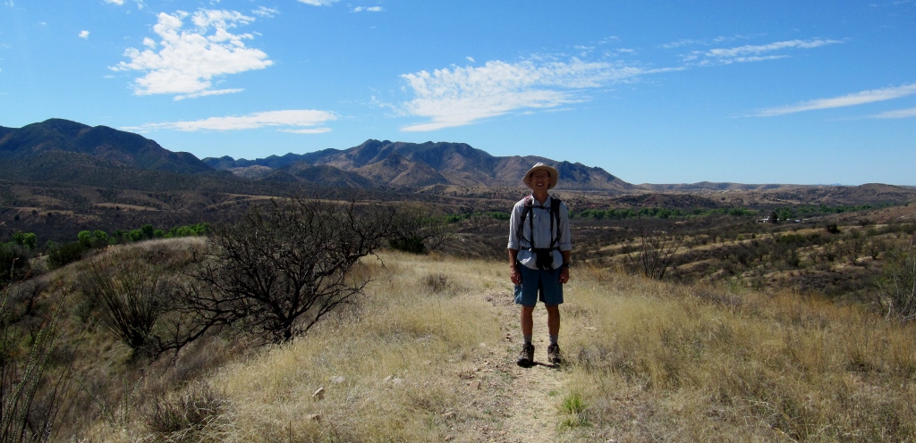 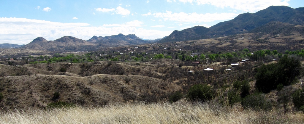 View of Patagonia down below, in the green valley 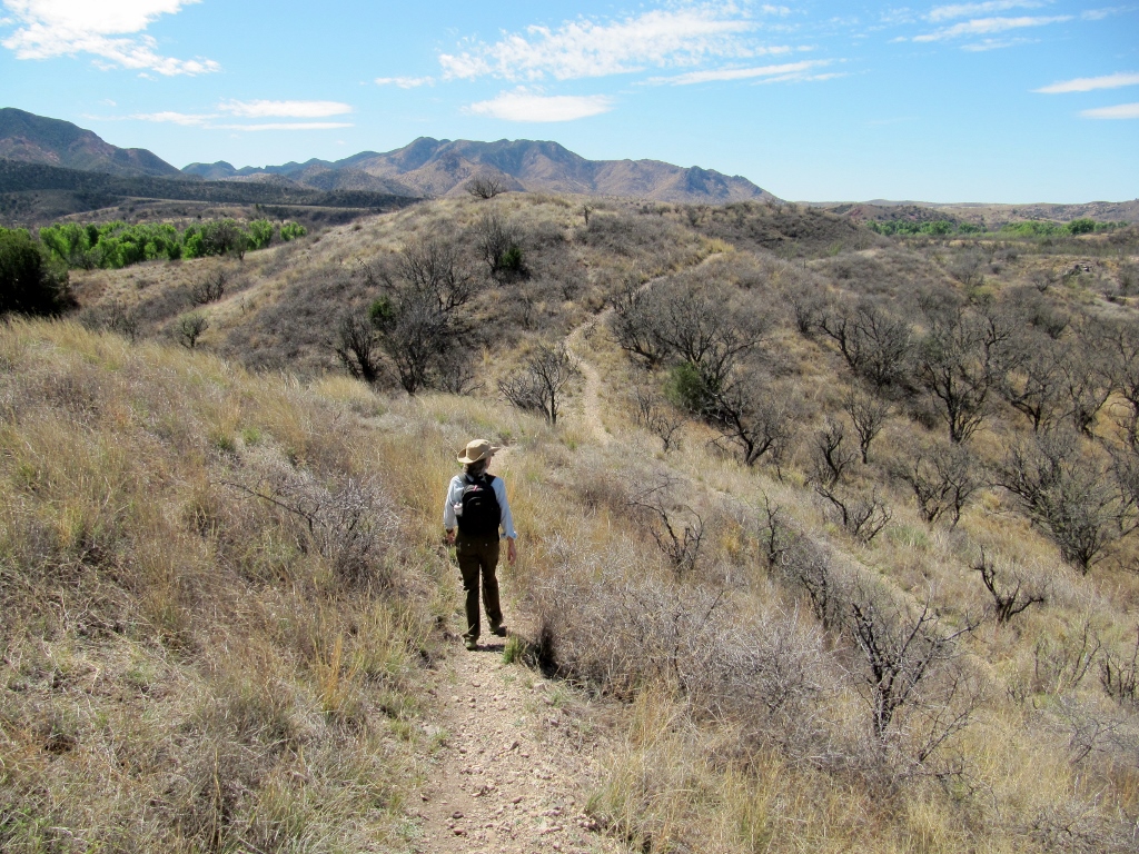 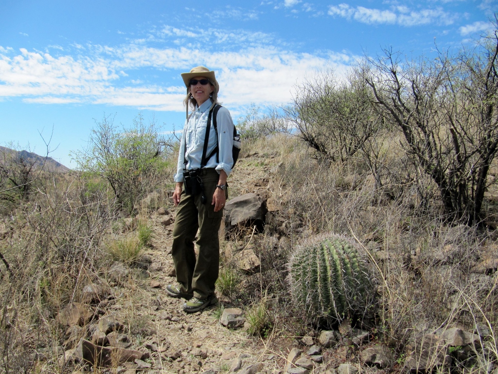 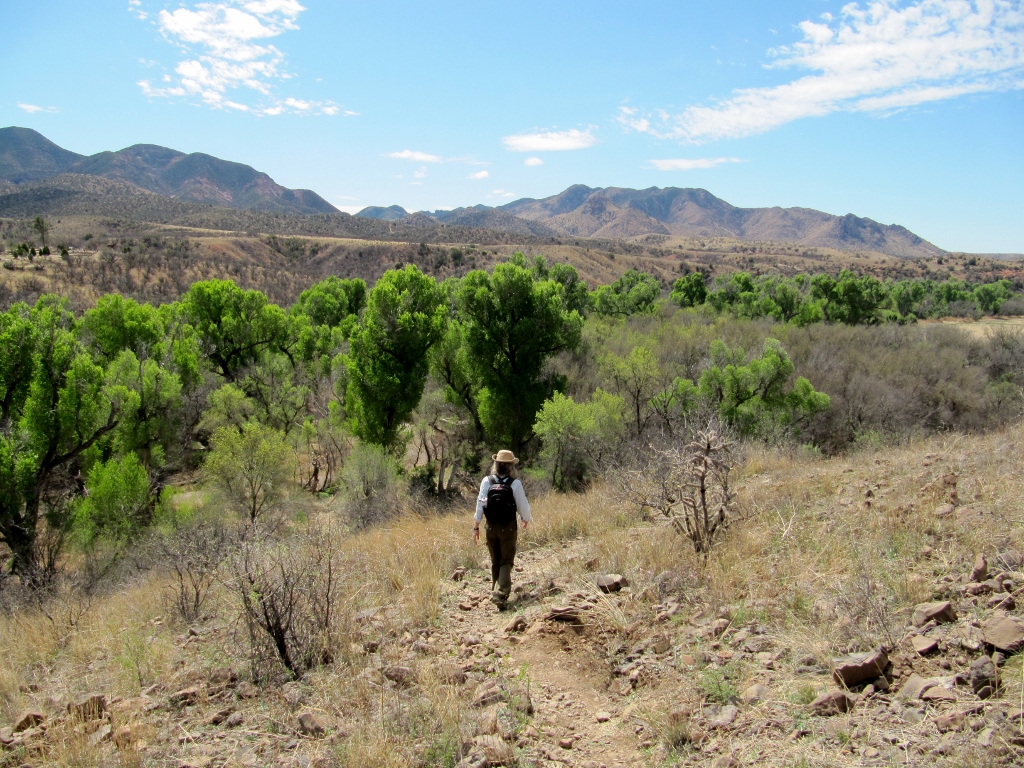 We had the trail almost to ourselves. There was a solo photographer up high on the ridge, and we passed a group of four hikers doing the loop in the opposite direction, but that was it. If you're in the Patagonia area, don't miss this beautiful hike!
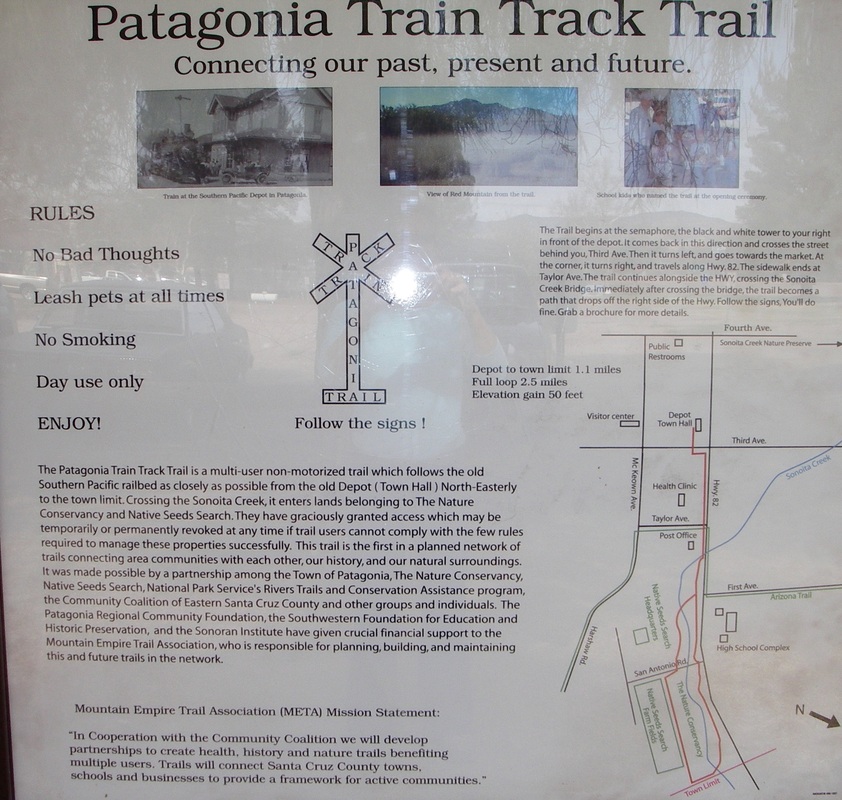
I kept looking for the start of the trail beside the Health Clinic and the Post Office, both shown in the map above, but it just isn't there. Undeterred and with the map in mind, I crossed the Sonoita Creek bridge on Highway 82 heading northeast, and right at the end of the bridge, I saw the trail marker. Blink and you'll miss it; the trail (or what I think of as a trail) actually starts immediately at the north end of the bridge on the east side of the road. I was pretty excited and felt as if I'd found a real treasure. And actually I had! 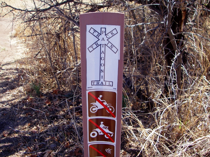
As stated on the sign above, the trail follows the old Southern Pacific railbed as closely as possible, then enters Nature Conservancy and Native Seed Search land. 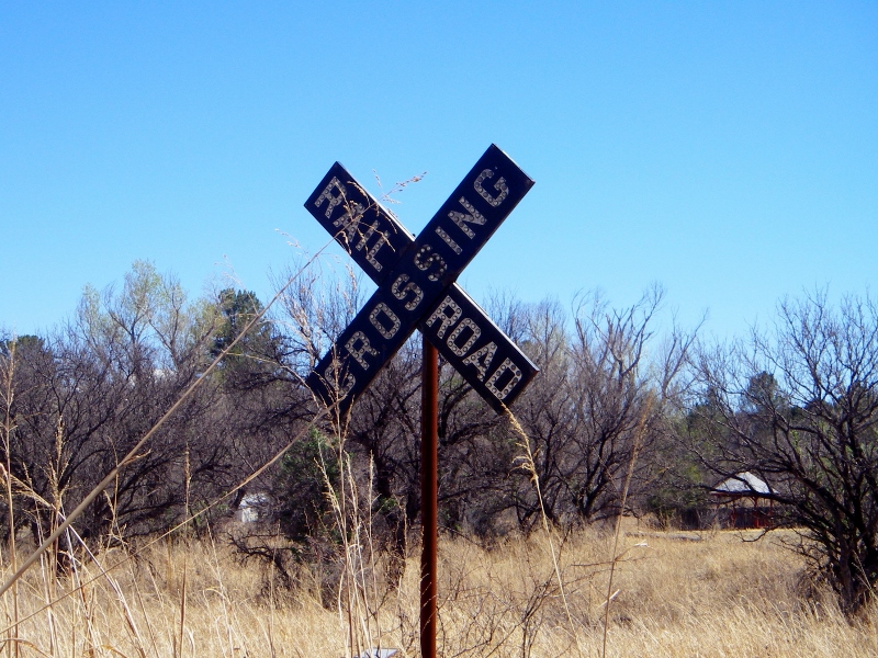
Railroad crossing sign at the start of the trail
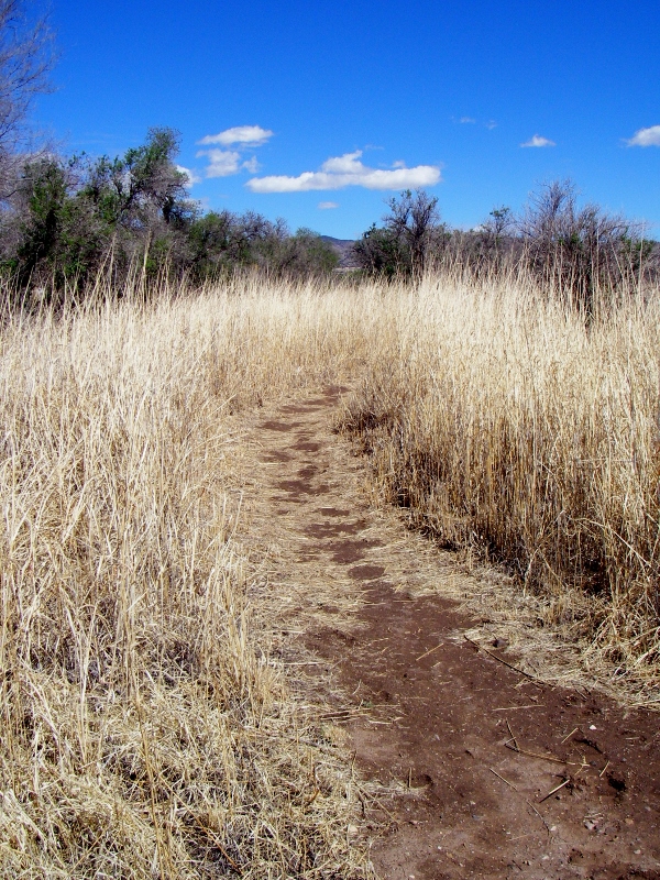
The start of the trail
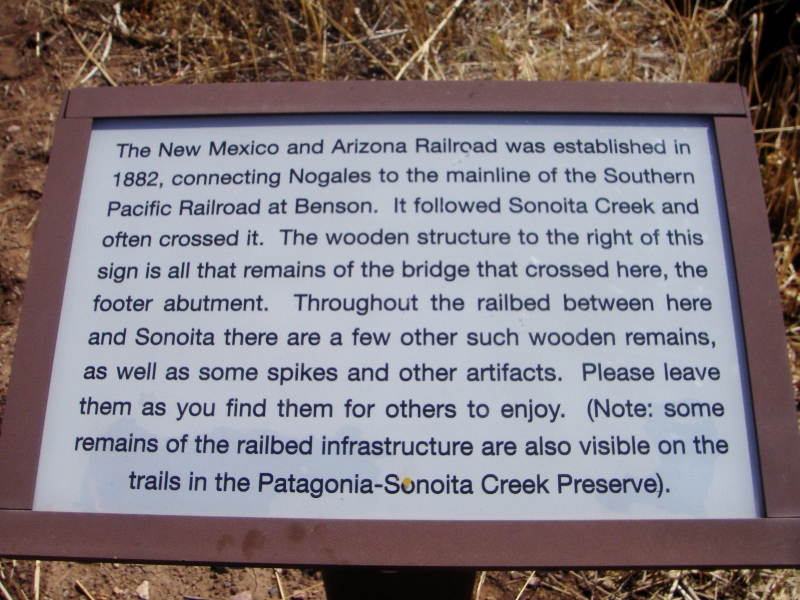
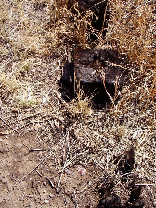
Part of the footers from the old bridge. Not much of it left.
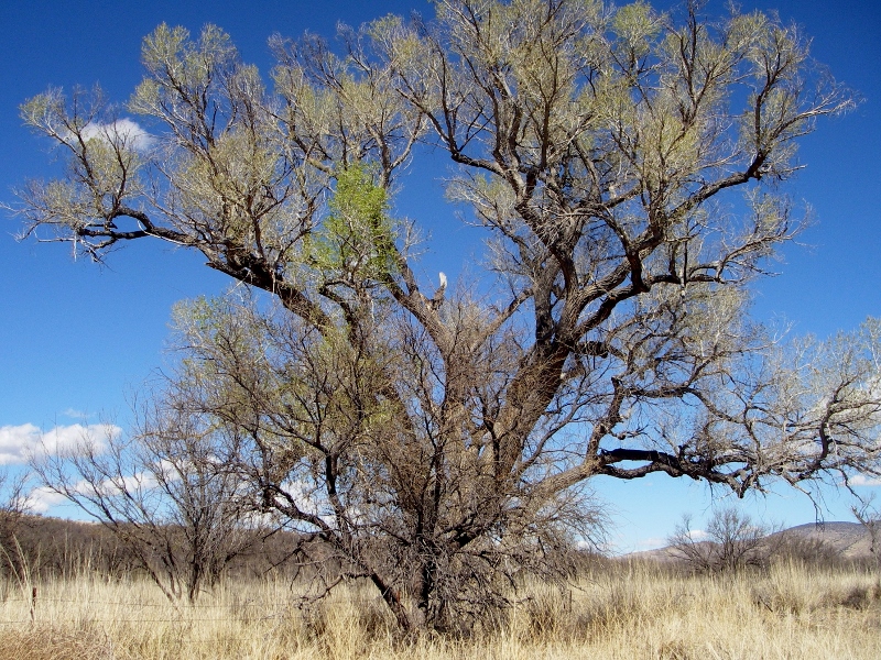
I had the trail all to myself -- well, just me and the birds. The trees were gorgeous! 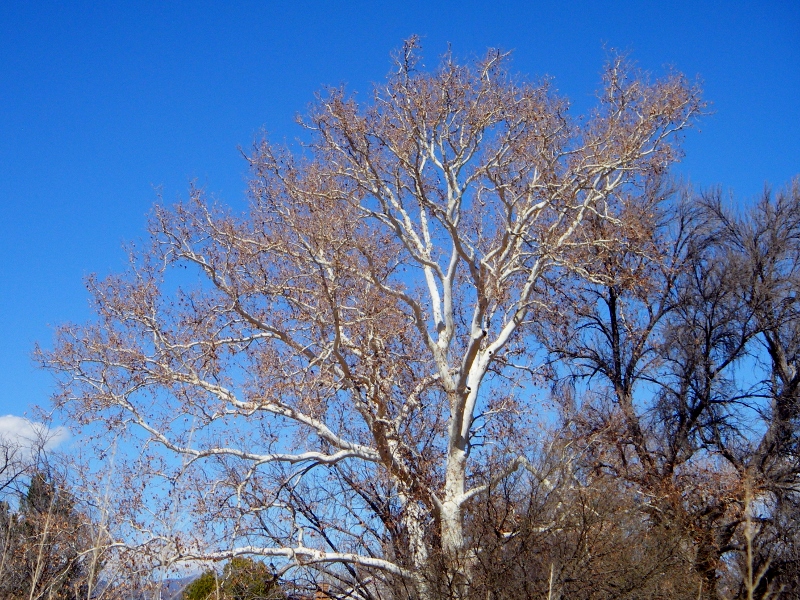
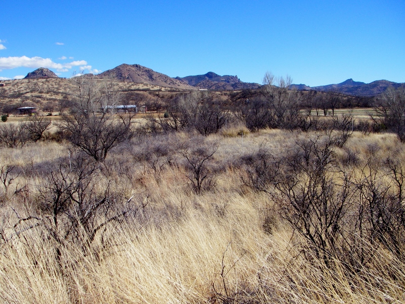
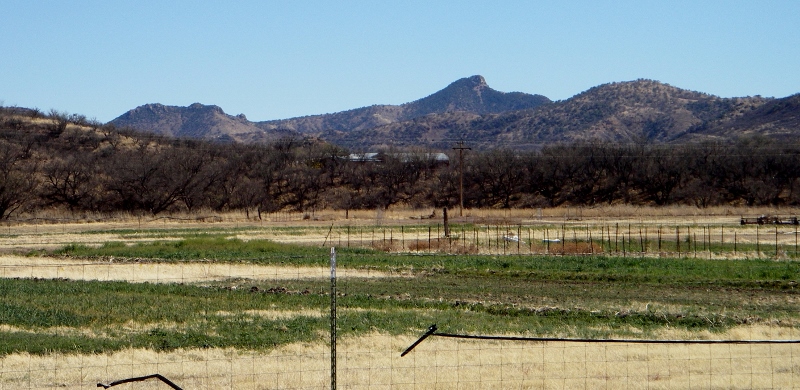
Looking over at Nature Conservancy land towards the east
The trail crosses Sonoita Creek, this portion of which is dry this time of year -- good for me! 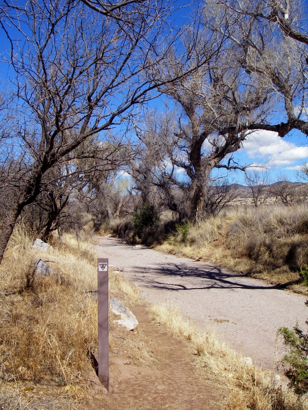
There are stern warnings before you enter Nature Conservancy lands. 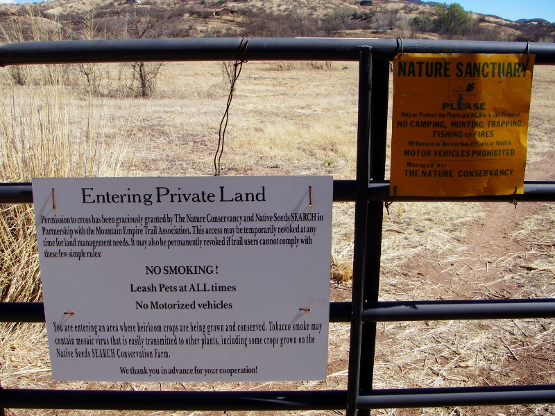
Nature Conservancy land -- very quiet and peaceful
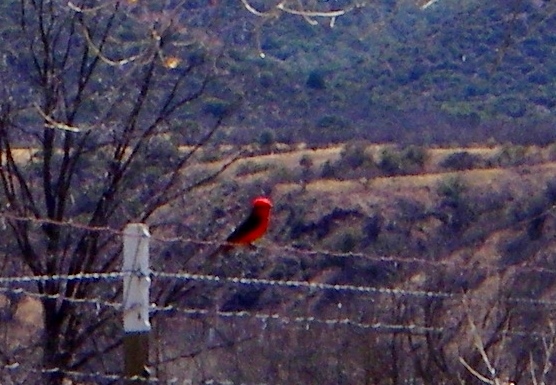
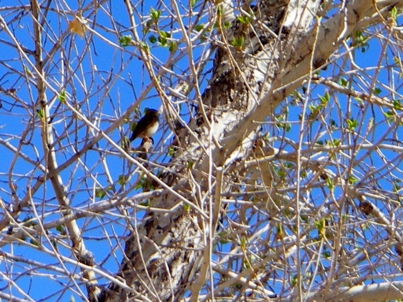
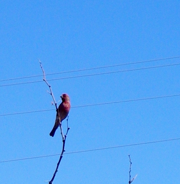
Vermillion Flycatchers are very common here. The males are so eyecatching!
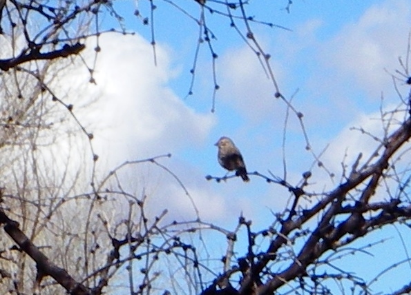
Spring has sprung!
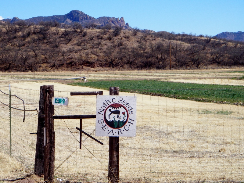
Native seed search plots
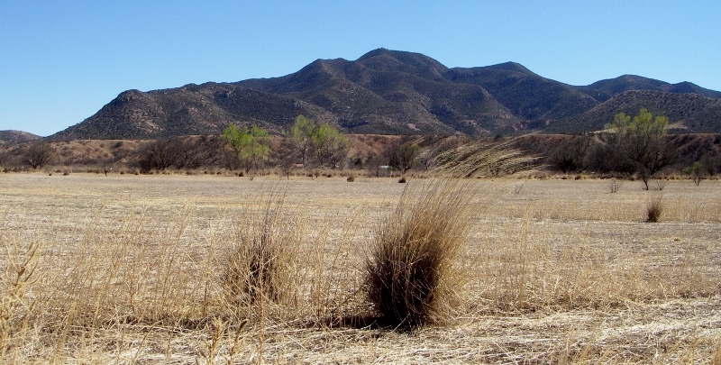
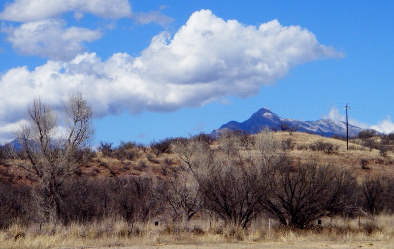
As you can see, the views all along the trail are breathtaking. There was still a tiny bit of snow visible on this mountaintop. 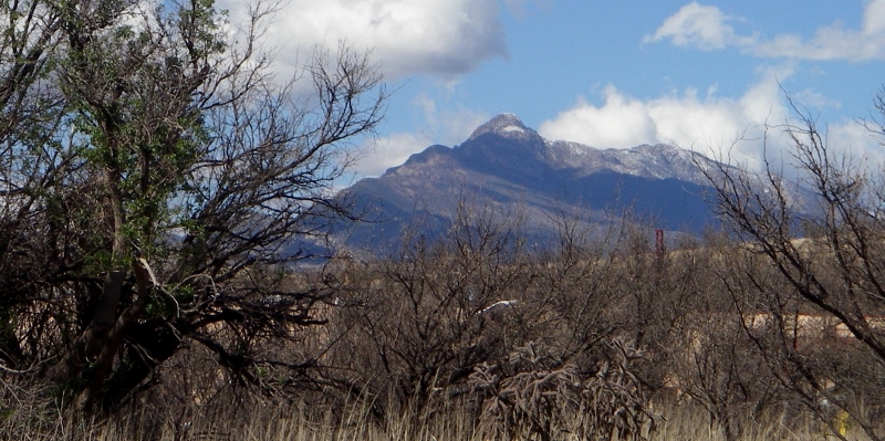
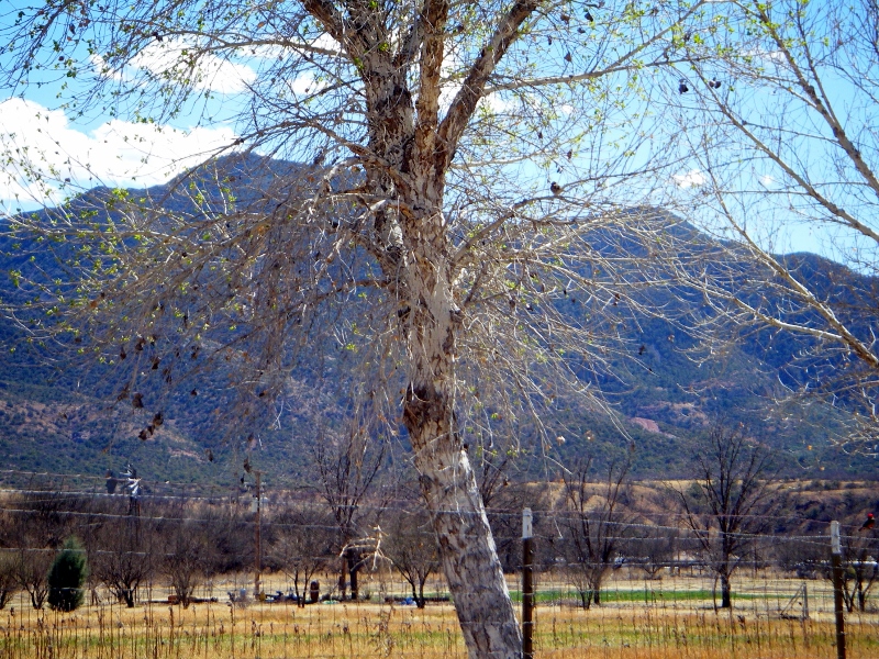
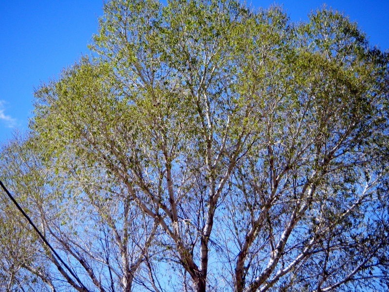
The first time I walked the trail, I came back on the second crossing of the wash rather than completing a short run of trail back to downtown. The huge cottonwood trees were beautiful. They were just beginning to show green the first time I walked the trail; now, one week later, they're totally green. 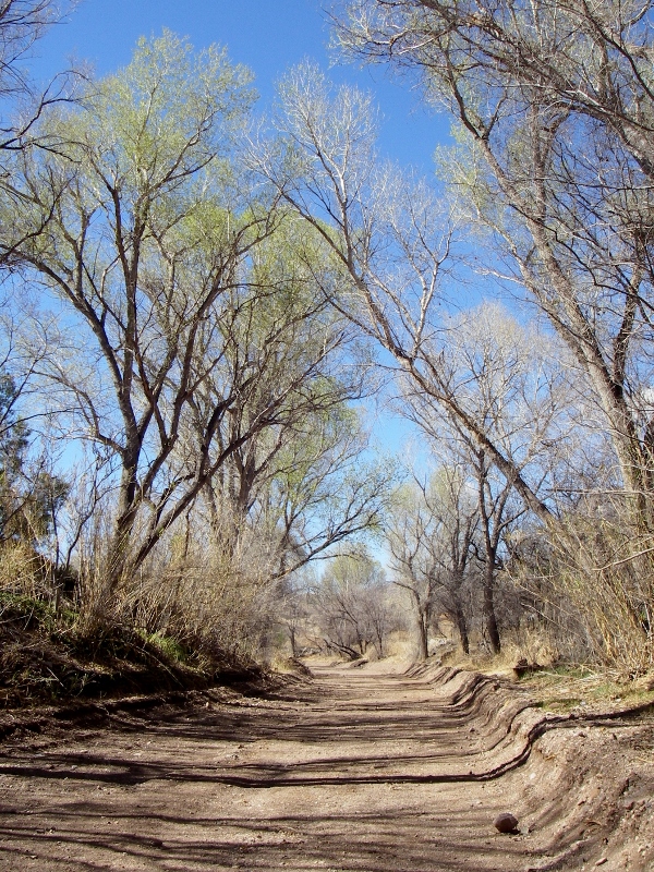
Sonoita Creek wash
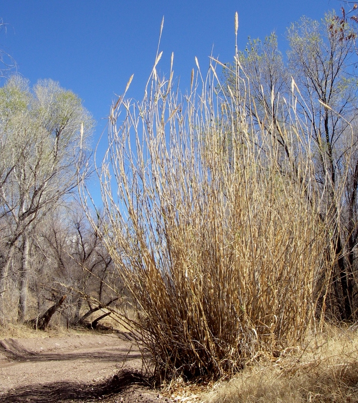
Some kind of dried grass along the wash that was SUPER tall!
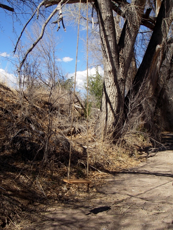
I loved this swing along the wash -- had to sit in it for a minute!
I've had the trail to myself both times I've walked it. Well, except for Paisley! I took her along on my second walk. She had fun but had to drink a LOT of water along the way. The temperature was only around 70, but it's dry and very sunny. 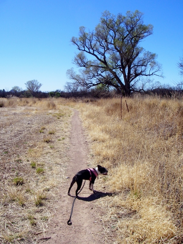
This is an easy, flat trail, just a couple of miles in length. If you plan to walk it, bring binoculars, water, and sunscreen!
|
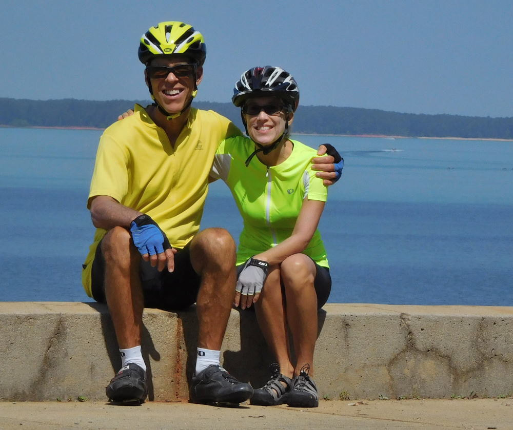
Emily & BarryWe're a long-married, early-retired couple who are currently traveling as nomads with no fixed home base. After years of living in North Carolina (Emily's home state), we spent 18 months living oceanfront on Ambergris Caye, Belize, a year road-tripping the US in a Honda CR-V, a year in Playa del Carmen, Mexico, and are now roaming North America in our 32' motorhome, Pearl, following warm weather whenever possible. 
Paisley, May 2016
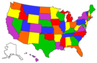
States visited (pre-RV)
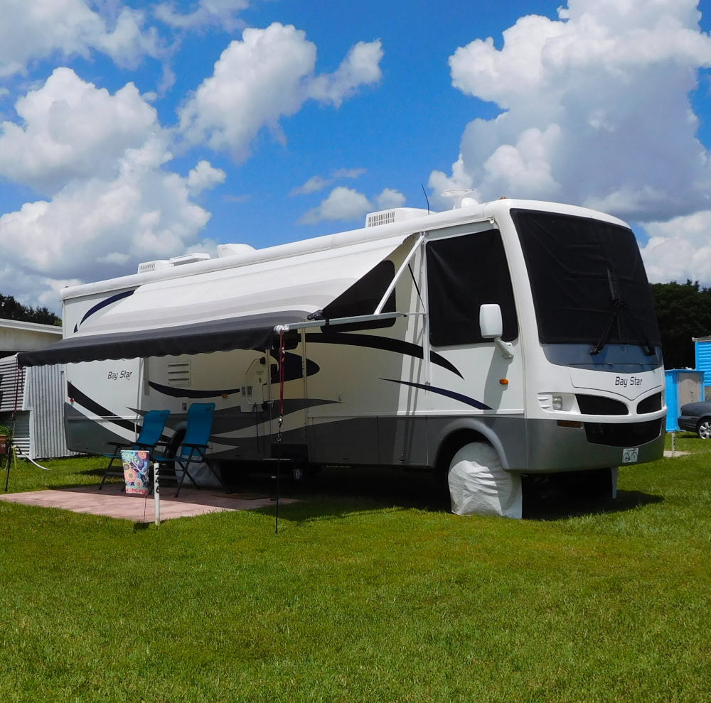
Pearl, a 2007 Newmar Bay Star
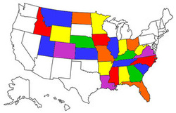
States visited in "Pearl"
Archives
July 2019
Favorite Travel Blogs |
 RSS Feed
